
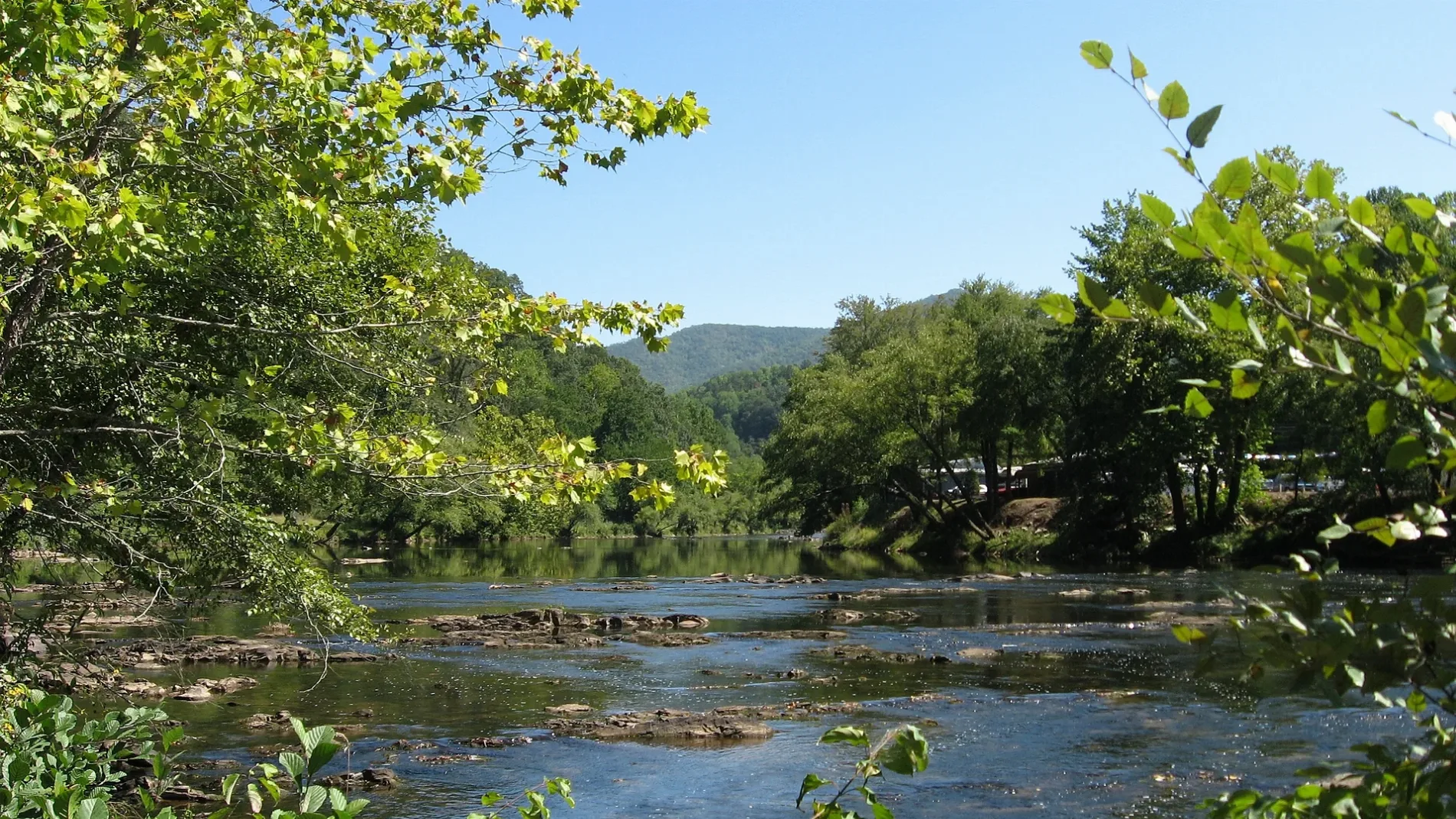
Tuckasegee River in Bryson City, North Carolina
Tuckasegee River in Bryson City is a river. Tuckasegee River also exists in Jackson County. Ⓦ.
- Waterway Type
- river
Restaurants
Museums
- Swain County Visitor Center and Heritage Museum (Swain County Tourism Development Authority, opening hours: Mon–Sat 10–17, Web) at Everett Street 2 (28713) – approx. 1.1 mi.
Stations
Hotels
Bike rentals
Bike shops
Fast food restaurants
Ice cream shops
Cafes
Clothing stores
Bakeries
Gift shops
Pharmacies
Gas stations
Platforms
Delis
Candy stores
Police stations
Streets nearby
Scary Branch Road400 ft
Holly Hill Road0.1 mi
Old River Road0.2 mi
Winchester Road0.3 mi
Ball Road0.4 mi
Possum Holler0.4 mi
Almond Street0.4 mi
Cabin Ridge0.4 mi
Pams Way0.4 mi
Locust Street0.5 mi
Eaton Street0.5 mi
Wildfire Road0.5 mi
Randell Way0.5 mi
Remington Ridge0.5 mi
Central AvenueParkview Church
0.5 mi
B Street0.6 mi
Riverview Drive0.6 mi
Shepherds Creek Road0.6 mi
Smoky Mount0.6 mi
Wade Crain Road0.6 mi
Carringer Street0.6 mi
Betts Branch Road0.6 mi
Maple StreetLackey Hill
0.6 mi
Tillman Road0.6 mi
Browns Branch Road0.7 mi
Randall Street0.7 mi
Deep Creek Road0.7 mi
Martin Street0.7 mi
Wells Street0.7 mi
Winding Way0.7 mi
Scenic Hill Drive0.7 mi
Park St Lackey Hill0.7 mi
Great Smoky Mountains Expressway0.7 mi
Green Birch Drive0.7 mi
Old Deep Creek Road0.7 mi
Toms Mountain View Lane0.7 mi
Main StreetNabers Drive In, Swain County Visitor Center and Heritage Museum, Bryson City Police
0.8 mi
Sturken Drive0.8 mi
Big Oaks Road0.8 mi
Franklin Street0.8 mi
Campgrounds nearby
Bear Hunter Campground0.3 mi
Cemeteries nearby
Swain Memorial Cemetery0.8 mi
Parks nearby
Swain County Recreation Park0.7 mi
Railways nearby
Great Smoky Mountains Railroad0.7 mi
Rivers nearby
Tuckaseigee River0.3 mi
Streams nearby
Scarred Branch0.1 mi
Kirkland Creek0.5 mi
Maple Branch0.5 mi
Betts Branch0.5 mi
| Length | 97 |
|---|---|
| Located in | North Carolina |
| Country | United States |
| Mouth | Little Tennessee River |
| Tributary | Oconaluftee River |
Public transit map Bryson City Legend
| Railway | |
| Bus | |
| Streetcar |
Bicycle map Bryson City Legend
| Bike path | |
| Bike lane on roadway | |
| Cycling allowed on bus lane | |
| Bicycle street | |
| Open to cyclists | |
| Open to cyclists, good path | |
| Cycling prohibited | |
| Cobblestone |
| Long-distance bike route | (depending on scale) | |
| Long-distance bike route |
Pedestrian map Bryson City Legend
| Path |
| Long-distance hiking trail | (depending on scale) | |
| Long-distance hiking trail | ||
| Pedestrians prohibited |