
Bass Lake Road in Holly Springs, NC 27540
Bass Lake Road in Holly Springs, NC 27540 (Wake County) is a two-lane, asphalted local road. No sidewalks. It crosses a bridge. It runs in a southeast-northwest direction starting from Holly Springs Road and crosses Rhamkatte Drive, Earp Street, Guerin Road, Verdoucq Drive, Holly Mountain Road, Hillspring Lane, Stinson Avenue, Dogwood Road, Oakenshaw Drive, Penshaw Way and Logans Manor Drive. It ends in a cul-de-sac and connects Wake County, Fuquay-Varina and Holly Springs. Bass Lake Road also exists in Blowing Rock, Camden County, Sampson County and Watauga County.
- Road Type
- local road
- Lanes
- 2
- Speed Limit
- 35 mph
- Route
- southeast-northwest
Image
Streets nearby
Weeting Way250 ft
Olde Mills Bluff Drive0.1 mi
Overshore Court0.2 mi
Holbrook Hill Lane0.3 mi
Shoreline Court0.3 mi
Birnam Wood Court0.3 mi
Tannen Hill Trail0.3 mi
Mill Lake Wynd0.3 mi
Whitney Springs Court0.3 mi
Point Lake Court0.3 mi
Bass Lake Trail0.4 mi
Congleton Way0.4 mi
Millstone Creek Drive0.4 mi
Windance Court0.4 mi
Braswell Creek Drive0.4 mi
Sun Lake Court0.4 mi
Stephen Springs Court0.4 mi
Arden Forest Road0.4 mi
Crispwood Court0.4 mi
Mistyridge Road0.4 mi
Salinas Court0.5 mi
Briarglen Lane0.5 mi
Birnamwood Court0.5 mi
Rathkeale Court0.5 mi
Lake Edge Drive0.5 mi
Kelly Oak Court0.6 mi
Stableview Court0.6 mi
Greenbreeze Lane0.6 mi
Goosehaven Lane0.7 mi
Georgiana Ridge Drive0.7 mi
Greenbank Mill Drive0.7 mi
Springtree Circle0.8 mi
Dams nearby
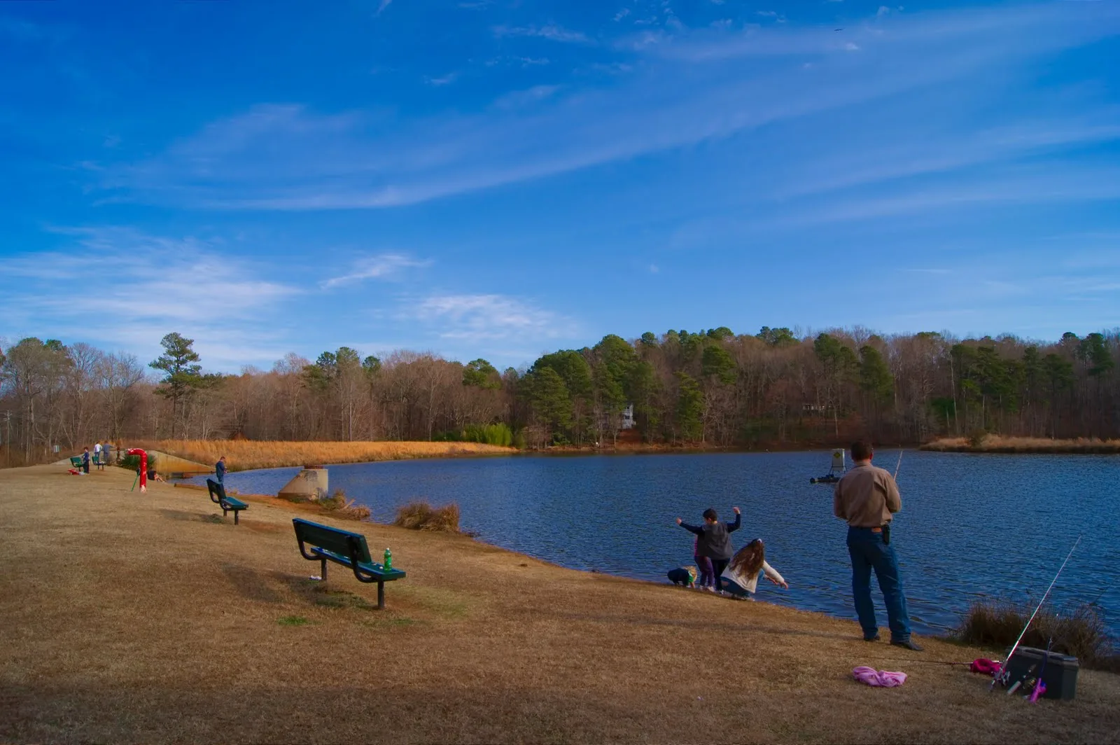
Bass Lake Dam0.1 mi
Parks nearby
Bass Lake Park0.4 mi
Sugg Farm at Bass Lake Park0.6 mi
Residential areas nearby
Fisherman's Cove0.1 mi
Robencliff0.1 mi
Hemlock Preserve0.2 mi
Olde Mills Lake0.3 mi
Sunset West at Sunset Ridge0.4 mi
Sunset Forest0.4 mi
Sunset Park at Sunset Ridge0.5 mi
Natures Reach0.5 mi
Creek Stone0.6 mi
Mill's Ridge0.7 mi
The Stables at Mill's Ridge0.7 mi
Shelters nearby
Tiki Hut0.6 mi
Streams nearby
Basal Creek0.2 mi
Middle Creek0.5 mi
 Public transit map Wake County Legend
| Railway | |
| Bus | |
| Streetcar |
 Bicycle map Wake County Legend
| Bike path | |
| Bike lane on roadway | |
| Cycling allowed on bus lane | |
| Bicycle street | |
| Open to cyclists | |
| Open to cyclists, good path | |
| Cycling prohibited | |
| Cobblestone |
| Long-distance bike route | (depending on scale) | |
| Long-distance bike route |
 Pedestrian map Wake County Legend
| Path |
| Long-distance hiking trail | (depending on scale) | |
| Long-distance hiking trail | ||
| Pedestrians prohibited |