
Brannigan Place in Cary, North Carolina
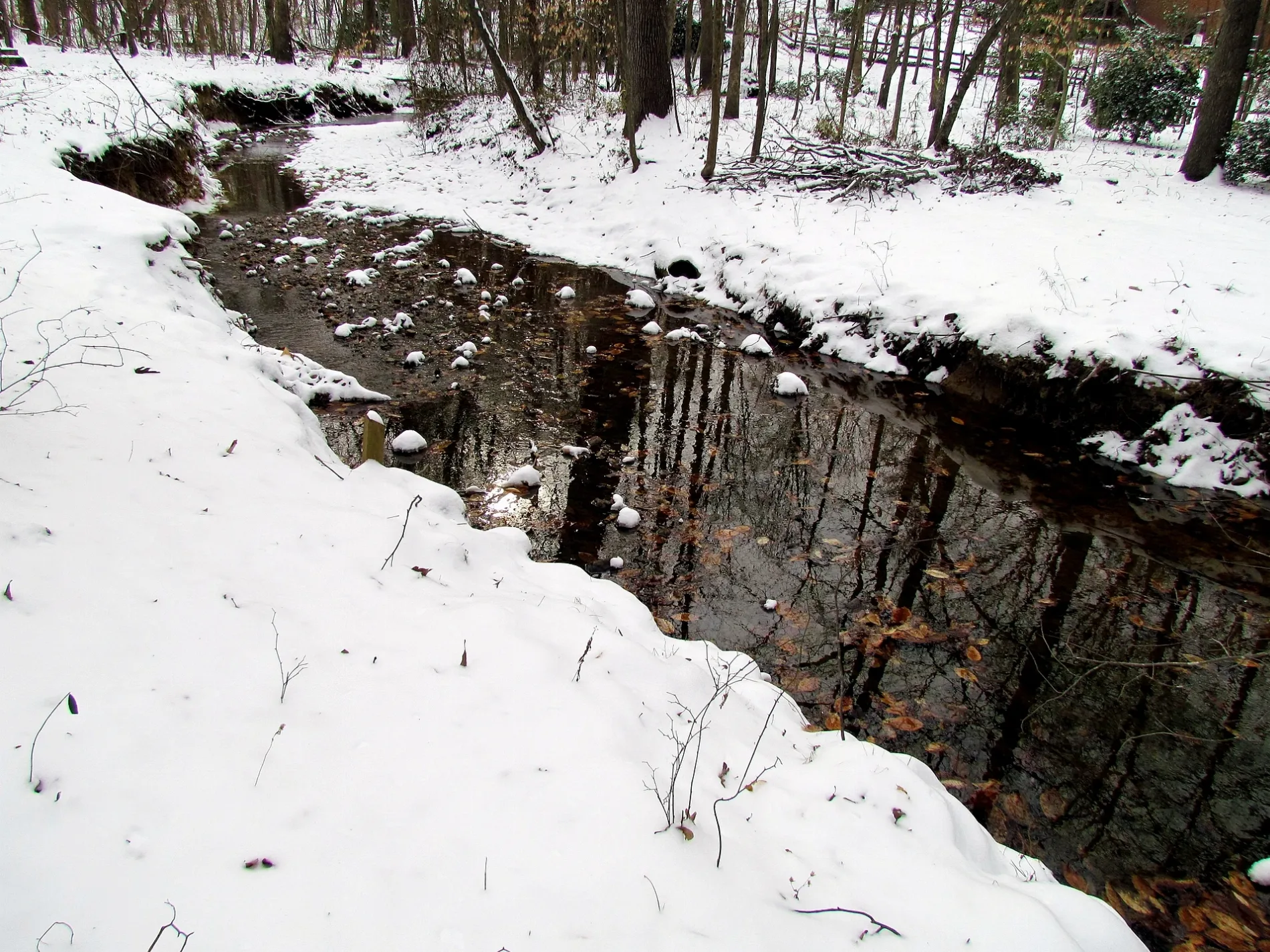
Brannigan Place in Cary is an asphalted, lit residential street. No sidewalks. It runs in a northeast-southwest direction and crosses Lamlash Lane, Tulliallan Lane, Farren Court, Southeast Cary Parkway and Kingsclere Drive.
- Road Type
- residential street
- Route
- northeast-southwest
Image
Supermarkets
Dentist offices
Hair salons
Gift shops
Bookstores
Restaurants
Fast food restaurants
Cafes
Beauty salons
Bus stops
Schools
Public bookcases
Dry cleaners
Stationery stores
Gas stations
Streets nearby
Creekstone Lane0.1 mi
Fairgreen Way0.1 mi
Rock Creek Lane0.1 mi
Hunters Point Way0.2 mi
Heathers Glen0.2 mi
Hagan Court0.2 mi
Farmington Woods DriveTorero's Mexican Restaurant, Kumon, Nails 21
0.2 mi
Lamlash Lane0.2 mi
Farren Court0.2 mi
Boxwood Court0.2 mi
Tulliallan Lane0.2 mi
Stoney Point Lane0.2 mi
Dunhagan Place0.2 mi
Yubinaranda Circle0.2 mi
Farmstead Drive0.2 mi
Southeast Cary ParkwayPapa Murphy's, Great Clips, Chido Taco, Sninski & Schmitt Family Dentistry, Circle K, ABC Store, Chanticleer Cafe & Bakery
0.2 mi
Kingsclere Drive0.2 mi
Balwins Gate0.2 mi
Hinshaw Greenway0.3 mi
Brookcliff Lane0.3 mi
Mosswood Lane0.3 mi
Dirkson Court0.3 mi
Seabrook Avenue0.3 mi
Shotts Court0.3 mi
Dorchester Pines Court0.3 mi
Lively Court West0.3 mi
Devine Way0.3 mi
Toliver Court0.4 mi
Landing Lane0.4 mi
Heidinger Drive0.4 mi
Coorsdale Drive0.4 mi
Kings Fork Road0.4 mi
Lively Court East0.4 mi
Widen Court0.4 mi
Coral Court0.4 mi
Dockside Place0.4 mi
Glengarry Drive0.5 mi
Aridith Court0.5 mi
Alicary Court0.5 mi
Parks nearby
Macdonald Woods Park0.3 mi
Places of worship nearby
The Church of Jesus Christ of Latter-day Saints0.3 mi
Residential areas nearby
Farren Forest400 ft
Farmington Woods of Kildaire Farms0.1 mi
Hawthorne At The Parkway0.2 mi
Stonehaven0.3 mi
Ridgepath0.4 mi
Macdonald Woods0.4 mi
Maynard Oaks0.4 mi
Streams nearby
Lynn Branch0.2 mi
Public transit map Cary Legend
| Railway | |
| Bus | |
| Streetcar |
Bicycle map Cary Legend
| Bike path | |
| Bike lane on roadway | |
| Cycling allowed on bus lane | |
| Bicycle street | |
| Open to cyclists | |
| Open to cyclists, good path | |
| Cycling prohibited | |
| Cobblestone |
| Long-distance bike route | (depending on scale) | |
| Long-distance bike route |
Pedestrian map Cary Legend
| Path |
| Long-distance hiking trail | (depending on scale) | |
| Long-distance hiking trail | ||
| Pedestrians prohibited |