
Evans Road in Morrisville, North Carolina
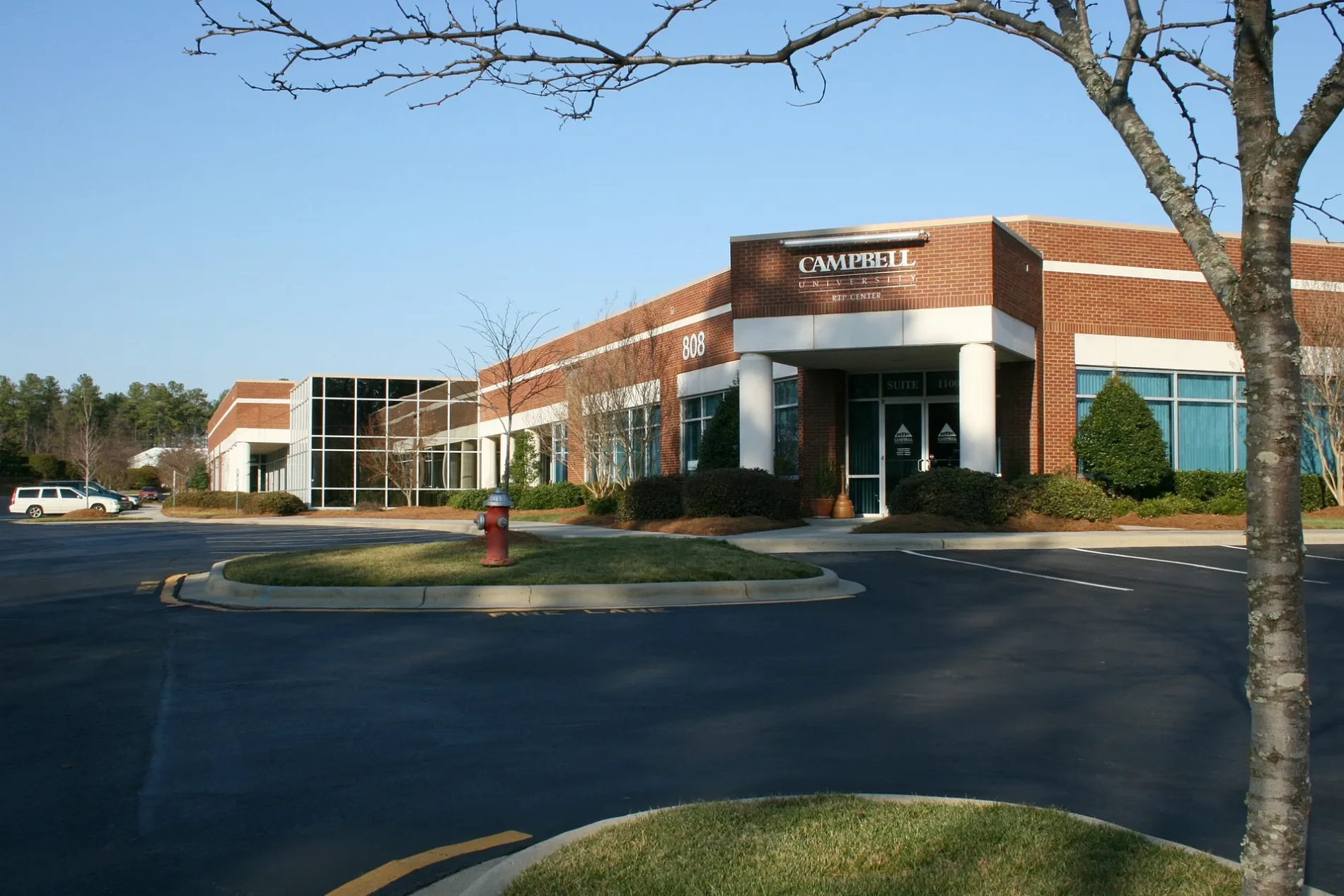
Evans Road in Morrisville is an asphalted secondary road. It runs in a southeast-northwest direction starting from McCrimmon Parkway and crosses Aviation Parkway and Pharma Drive and ends at McCrimmon Parkway.
- Road Type
- secondary road
- Speed Limit
- 45 mph
- Postal Code
- 27513
- Route
- southeast-northwest
Image
Universities
Coffee shops
Car washes
Places of worship
Convenience stores
Restaurants
Marketplaces
Bus stops
Dentist offices
Antique stores
Fast food restaurants
Gas stations
Streets nearby
Pharma Drive0.1 mi
Crabtree Creek Greenway0.2 mi
Athletic Lane0.3 mi
Clements Drive0.3 mi
Aviation ParkwayCampbell University RTP Campus
0.3 mi
Southcenter Court0.3 mi
Stella Court0.4 mi
Bearcat Way0.5 mi
Brier's Creek Greenway0.5 mi
WCC Lane0.5 mi
Wake Competition Boulevard0.5 mi
Kennicott Avenue0.5 mi
International Drive0.5 mi
Laurel Commons Way0.6 mi
Evans RoadCary Church, West Cary Middle School
0.6 mi
Dominion Drive0.6 mi
Montelena Place0.6 mi
Green Drive0.6 mi
Liberty Hill Pass0.6 mi
Fairview Avenue0.6 mi
Nova Drive0.7 mi
Competition Center Drive0.7 mi
Cotten Square Lane0.7 mi
Sunset AvenueLa Cucina Italiana
0.7 mi
Rensford Place0.7 mi
Cotulla Drive0.7 mi
Southport DriveThousand Hills Coffee
0.7 mi
Cotten DriveTriangle Car Wash
0.8 mi
McCrimmon Parkway0.8 mi
Delaplane Court0.8 mi
Belle Plain Drive0.8 mi
Strand Street0.8 mi
Stephens Park Drive0.9 mi
Buildings nearby
RushHour Karting0.6 mi
Sinjin Beach Volleyball Blub0.7 mi
Forests nearby
Crabtree Creek Watershed Project Site 23500 ft
Ice rinks nearby
Invisalign Arena - Ice Rink0.7 mi
Places of worship nearby
BAPS Shri Swaminarayan Mandir0.6 mi
Residential areas nearby
Bainbridge Aviation Crossing0.2 mi
Weston Oaks0.6 mi
Cotton Place0.6 mi
Sports centers nearby
Wake Competition Center0.6 mi
Sports fields nearby
Fields 20.6 mi
Field 20.7 mi
Field 30.7 mi
Field 40.7 mi
Field 10.8 mi
Field 50.8 mi
Trampoline parks nearby
Urban Air0.6 mi
Waters nearby
Emily Babcock Lake0.8 mi
 Public transit map Morrisville Legend
| Railway | |
| Bus | |
| Streetcar |
 Bicycle map Morrisville Legend
| Bike path | |
| Bike lane on roadway | |
| Cycling allowed on bus lane | |
| Bicycle street | |
| Open to cyclists | |
| Open to cyclists, good path | |
| Cycling prohibited | |
| Cobblestone |
| Long-distance bike route | (depending on scale) | |
| Long-distance bike route |
 Pedestrian map Morrisville Legend
| Path |
| Long-distance hiking trail | (depending on scale) | |
| Long-distance hiking trail | ||
| Pedestrians prohibited |