
South College Street in Wake Forest, North Carolina
South College Street in Wake Forest is an asphalted residential street. It runs as a one-way street in a southwest-northeast direction starting from West Owen Avenue and ends at South Avenue. South College Street also exists in Bladen County, Buncombe County, Burke County, Duplin County and Franklin County.
- Road Type
- residential street
- Route
- northeast-southwest
Image
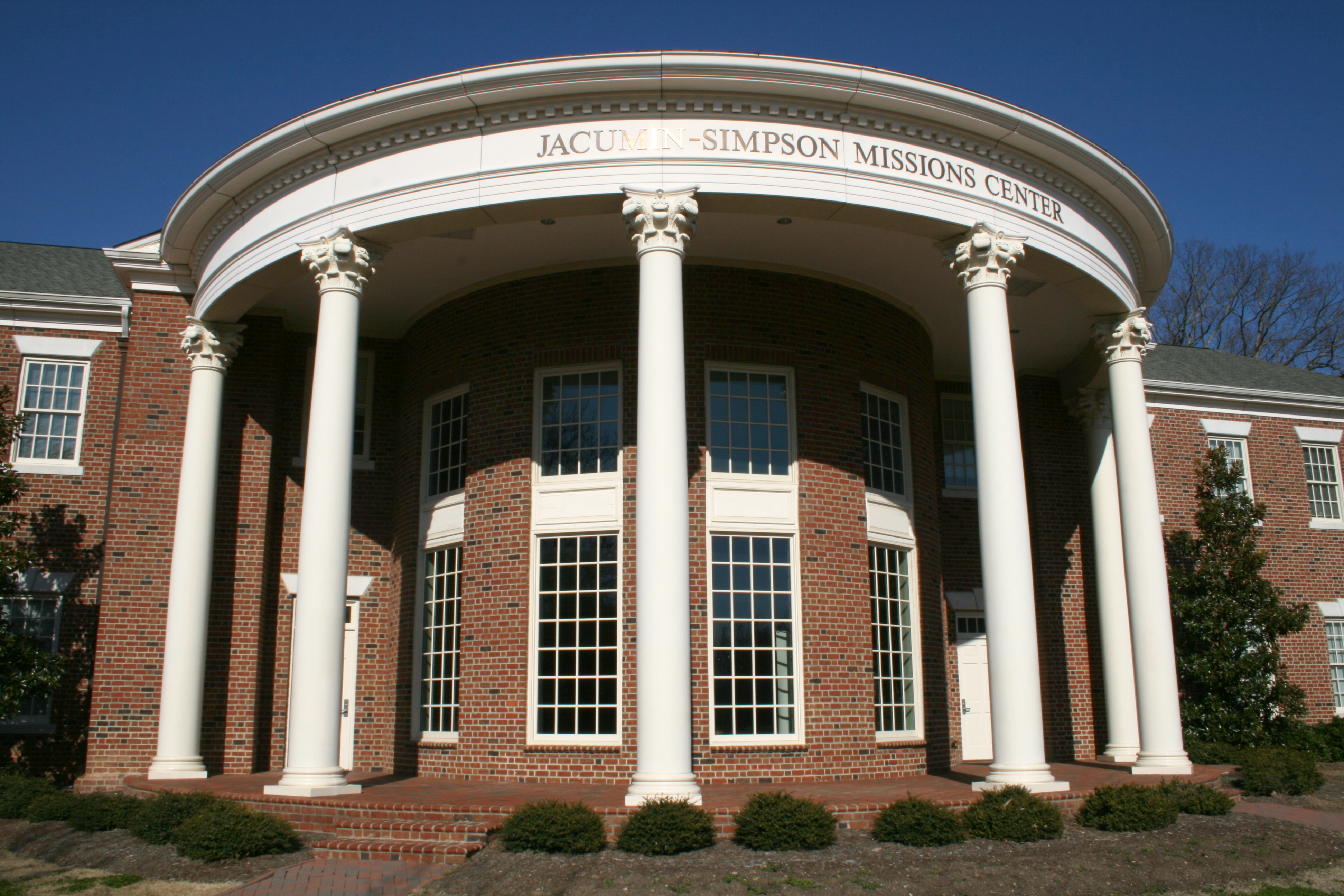
Bars
Places of worship
Hardware stores
General stores
Banks
Video game stores
Restaurants
Clothing stores
Convenience stores
Funeral homes
Cafes
Bus stops
Candy stores
Fast food restaurants
Beauty salons
Schools
Marketplaces
Music stores
Gift shops
Galleries
Streets nearby
West Owen AvenueThe Grain Mill
350 ft
South Avenue0.1 mi
South Main StreetS Main St at Forbes Rd, Gonza Tacos Y Tequila, S Main St at Rogers Rd (Wake Forest Middle School), Barrett's Produce, Aquarium Outfitters Carolina, Valero, Bright Funeral Home, Giving Tree Foundation, Tree City Tire, S Main St at Ligon Mill Rd, Trek CBD, S Main St at Aldi Food Market, Mellow Mushroom, AutoZone, Forestville, S Main St at Cimarron Pkwy, S Main St at NC 98 (The Lodge Retirement Comm), Amalia's Authentic Italian Restaurant, Main Street Grille, Cafe & Bakery, North Wake Church, Smiths Smokehouse and Smoothies, Asian Bistro, Wake Up Nutrition, Paul & Jack, Empanada Factory
0.1 mi
East South AvenueWake Forest Baptist Church
0.2 mi
West Sycamore AvenueWake Forest Elementary School
0.2 mi
Front StreetWake Forest
0.2 mi
Railroad Street0.2 mi
East Elm AvenuePlant Cakes Bake Shop, Wake Forest Renaissance Centre, Elm Ave at White St (Park-and-Ride)
0.2 mi
East Sycamore Avenue0.3 mi
Durham Road0.3 mi
North Wingate StreetN Wingate St at E Chestnut Ave
0.3 mi
North AvenueNorth Ave at Wingate St (SBTS), The Corner and Meeting House
0.3 mi
Bostwick Dorm Street0.3 mi
West Vernon Avenue0.3 mi
Stadium DriveStadium Dr at Wake Forest High
0.3 mi
South Rayburn Avenue0.3 mi
Holding Oaks Court0.3 mi
East Vernon Avenue0.3 mi
South White StreetWake Forest Florist, Super Deal Tire & Muffler, Wake Forest Coffee Company, Domino's, Sweeties Candy Shop, George's Pizzeria, The Lemon Tree: Cafe, B & W Hardware, Shorty’s Famous Hot Dogs, Next Consignment Boutique, Wayne’s Creative Hairstyling, Purple Door Day Spa, NC General Stores, White St at Elm Ave, White St at Jones Ave, Fidelity Bank, Bodega Tapas, Wine, and Rum, Wake Forest Art & Frame Gallery, White Street Boutique, Unwined on White, Sugar Magnolia Cafe, Creative Shears Salon, Southern Suds and Gifts, The Cotton Company, Tonic, Record Krate, Magpie and Crow
0.3 mi
Kinvara Court0.3 mi
Judson Drive0.4 mi
Woodland Drive0.4 mi
East Holding AvenueWake Forest Christian Church, Tri-Area Ministry Food Pantry, Brookdale, Holding Ave at Northern Regional Center, Northern Regional Center
0.4 mi
Dacus Place0.5 mi
Dunn Avenue0.5 mi
South Wingate Street0.5 mi
Tacy Place0.5 mi
Tessier Court0.5 mi
Fairburn Court0.5 mi
Tyler Run Drive0.5 mi
Pineview Drive0.5 mi
Elmwood Court0.5 mi
Buildings nearby
Manor House0.1 mi
Churches nearby
Wake Forest Christian Church0.4 mi
Commercial buildings nearby
The Loading Dock0.4 mi
Cartbarn0.4 mi
Paschal Golf Course Clubhouse0.4 mi
Golf courses nearby
Paschal Golf Club0.3 mi
Grasslands nearby
Practice Green0.4 mi
Houses nearby
Magnolia Hill0.2 mi
Paschal House0.2 mi
Hunt House0.2 mi
Parks nearby
Holding Community Park500 ft
Residential areas nearby
Tyler Run0.5 mi
Vernon Park0.5 mi
Streams nearby
Richland Creek0.5 mi
Universities nearby
Southeastern Baptist Theological Seminary0.3 mi
University buildings nearby
Stealy Hall0.2 mi
Carson Hall0.3 mi
Public transit map Wake Forest Legend
| Railway | |
| Bus | |
| Streetcar |
Bicycle map Wake Forest Legend
| Bike path | |
| Bike lane on roadway | |
| Cycling allowed on bus lane | |
| Bicycle street | |
| Open to cyclists | |
| Open to cyclists, good path | |
| Cycling prohibited | |
| Cobblestone |
| Long-distance bike route | (depending on scale) | |
| Long-distance bike route |
Pedestrian map Wake Forest Legend
| Path |
| Long-distance hiking trail | (depending on scale) | |
| Long-distance hiking trail | ||
| Pedestrians prohibited |