
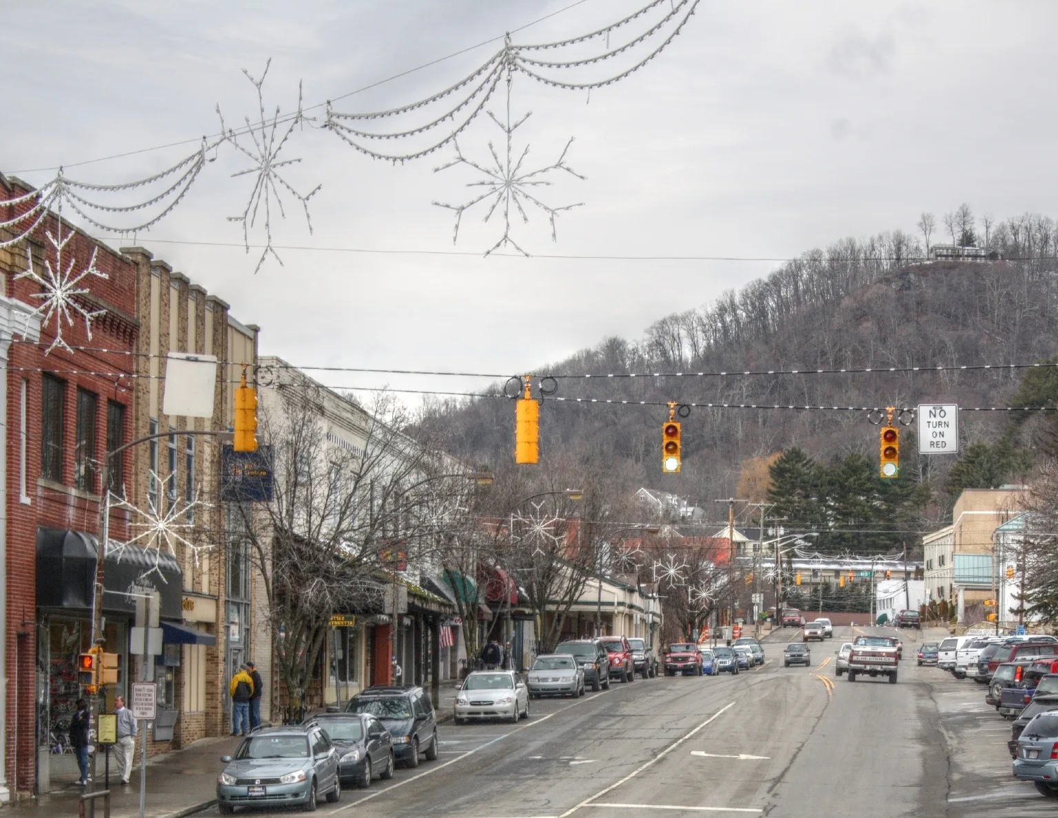
College Street in Boone, North Carolina
College Street in Boone is a single-lane, asphalted, lit unclassified road. This is a roundabout. It crosses Hamby Alley and Howard Street and comes from West King Street. Nearby you can find a cafe and a convenience store. The nearest bus stop is Howard Street / Hardin Street (about 450 m away). College Street also exists in Hertford County, Pasquotank County, Bertie County, Alamance County and Anson County.
- Road Type
- unclassified road
- Lanes
- 2
- Speed Limit
- 15 mph
Image
Streets nearby
Hamby Alley500 ft
Wallace Circle550 ft
Howard StreetUniversity Post Office, Lucy Brock Child Development Center, Footsloggers, Doc and Merle Watson, Howard Street / Hardin Street, Dan'l Boone Inn Restaurant
550 ft
Campus Ridge Drive0.1 mi
Cherrybrook Lane0.1 mi
Dr Robbins WayCascades Cafe
0.2 mi
Brown Street0.2 mi
Cherry Drive0.2 mi
Coffey Street0.2 mi
Councill Street0.3 mi
Locust StreetThe Pit
0.3 mi
Dauph Blan StreetFounders Plaza
0.3 mi
Hardin StreetGE WattStation, ASU Dogwood Hall, Hardin Street Crosswalk, Appalachian State University
0.3 mi
Apartment buildings nearby
King Street Flats350 ft
J&B Apartments0.2 mi
Howard Street Apartments0.2 mi
Steeplechase on Howard Street0.2 mi
Artworks nearby
Founders Mall0.2 mi
Auto repair shops nearby
Bill's Garage0.2 mi
Buildings nearby
East Residence Hall0.3 mi
Cemeteries nearby
Boone Cemetery0.2 mi
Convenience stores nearby
Phil's Gastown0.3 mi
Dormitories nearby
Summit Hall0.2 mi
Cone Hall0.2 mi
White Residence Hall0.2 mi
Elkstone Hall0.2 mi
Doughton Residence Hall0.2 mi
Dogwood Hall0.3 mi
Cannon Hall0.3 mi
Gardens nearby
Appalachian Roots Garden0.2 mi
Guest houses nearby
White Fence Farm Downtown0.1 mi
Ice cream shops nearby
blue deer on king250 ft
Liquor stores nearby
Blue's Brews250 ft
Outdoor seatings nearby
Howard's Knob Patio0.1 mi
Parking lots nearby
College Street Parking Deck250 ft
Parks nearby
Sanford Mall0.2 mi
Places of worship nearby
First Baptist Church100 ft
Advent Christian Church0.2 mi
Platforms nearby
ASU College Street Station300 ft
Service buildings nearby
Bookstore Chiller Plant400 ft
University buildings nearby
Reich College of Education150 ft
Plemmons Student Union450 ft
Miles Annas Student Services Building450 ft
Howard Street Hall & Lucy Brock Child Development Center550 ft
Lillie Shull Dougherty Hall0.2 mi
Appalachian Hall0.2 mi
Sanford Hall0.2 mi
I.G. Greer Hall0.2 mi
Variety stores nearby
The Outdoorsman0.1 mi
Public transit map Boone Legend
| Railway | |
| Bus | |
| Streetcar |
Bicycle map Boone Legend
| Bike path | |
| Bike lane on roadway | |
| Cycling allowed on bus lane | |
| Bicycle street | |
| Open to cyclists | |
| Open to cyclists, good path | |
| Cycling prohibited | |
| Cobblestone |
| Long-distance bike route | (depending on scale) | |
| Long-distance bike route |
Pedestrian map Boone Legend
| Path |
| Long-distance hiking trail | (depending on scale) | |
| Long-distance hiking trail | ||
| Pedestrians prohibited |