
Straight Street in Boone, North Carolina
Straight Street in Boone is an asphalted residential street and it runs in a north-south direction starting from Queen Street and crosses Bent Street and ends at West King Street.
- Road Type
- residential street
- Route
- north-south
Image
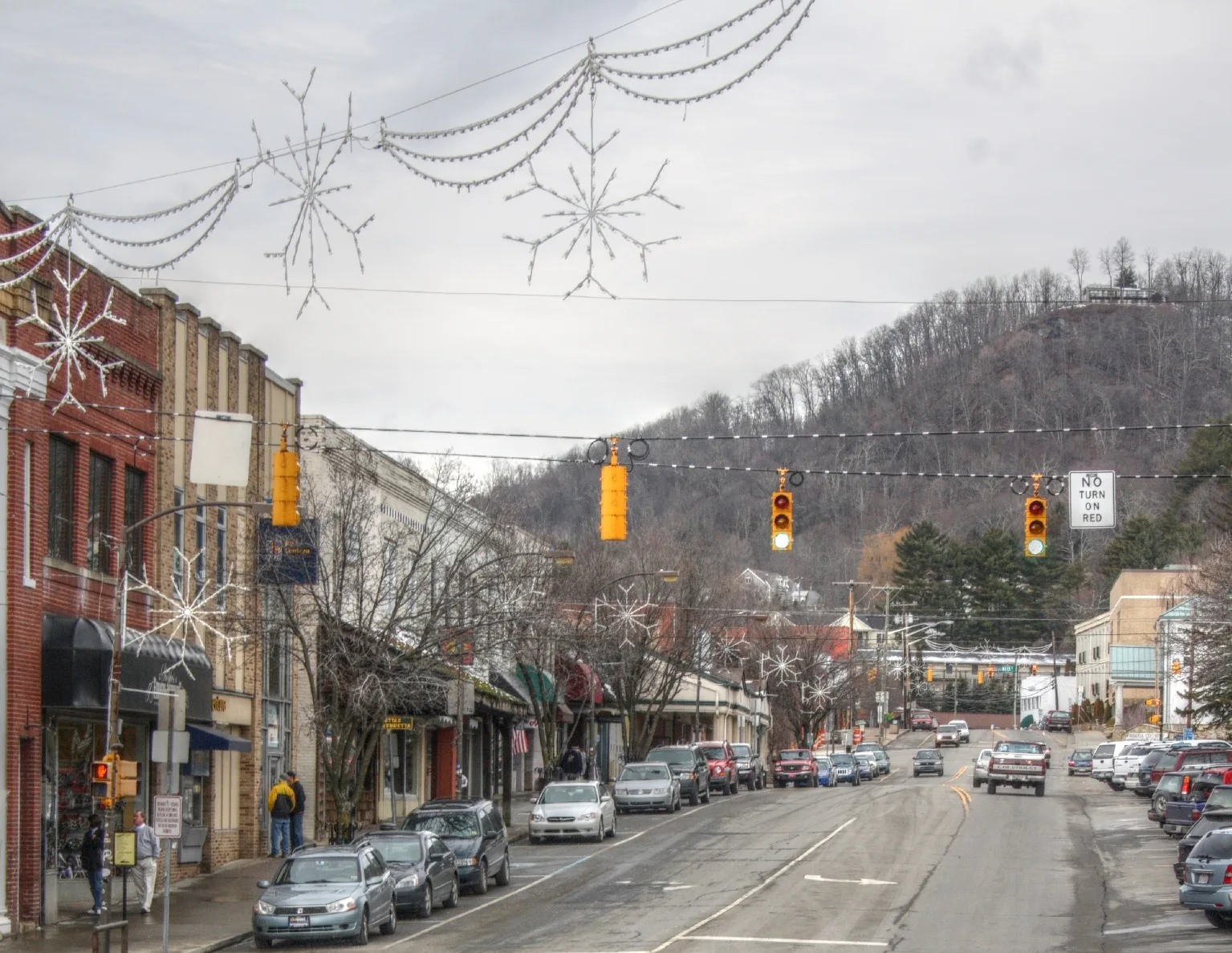
Jewelry stores
Shoe stores
Gift shops
Hair salons
Galleries
- The Nthº Gallery & Studios (Web) at West King Street 683 (28607). Small non-profit gallery and studios located in an upstairs flat along King Street. Often has its main exhibits on the first Friday of each month. – approx. 0.2 mi.
Restaurants
ATMs
Cannabis dispensaries
Clothing stores
Bus stops
Fast food restaurants
Cemeteries
Massage therapy clinics
Art galleries
Streets nearby
Bent Street200 ft
Gragg Street0.1 mi
Water Street0.1 mi
Shanthi Way0.2 mi
Dotson Drive0.2 mi
Poplar Grove RoadASU Child Development Center, Hodges Gap
0.2 mi
Ridgewood DriveWatauga
0.2 mi
Burrell StreetDaniel & the Dog
0.2 mi
Park Street0.2 mi
West Howard StreetCoBo Sushi Bistro & Bar, Melanie's, The Local, High Life Smoke Shop, Antiques On Howard, Little Wing, Apotheca Cannabis Dispensary, Hellbenders, Peak Piercings
0.2 mi
Green Heights Drive0.2 mi
Rivers StreetAppalachian State University, ASU Garwood Hall, ASU Skywalk, Appalachian State University Police / Traffic & Parking Department, Bike App, Jimmy Smith Park, Rivers Street Ale House, Regear Outdoors, ASU Schaefer Center, ASU Walker Hall / Rivers Street, Hephaestus, ASU Peacock Traffic Light
0.2 mi
Poplar Grove Connector RoadState Employees Credit Union
0.2 mi
Clay House Drive0.2 mi
West Grandview Heights0.2 mi
Moretz DriveCornbread Tactical
0.2 mi
Russell Drive0.3 mi
Grandview Heights0.3 mi
Buildings nearby
Agricultural Services Center400 ft
Appletree Apartments500 ft
Watauga County Administrative Office0.1 mi
Buildings under construction nearby
Hotel Portofino0.2 mi
Clothing stores nearby
Mi Rancho Western Apparel0.2 mi
Commercial buildings nearby
Olde Bailey Building0.2 mi
Miller Industries0.2 mi
Courthouses nearby
Watauga County Courthouse550 ft
Fire stations nearby
Boone Fire Station0.2 mi
Gardens nearby
Watauga Extension Educational Garden200 ft
Hotels nearby
The 1850 Residences0.1 mi
Houses nearby
Green Street Triplex200 ft
Office buildings nearby
Eggers, Eggers, Eggers & Eggers0.1 mi
Parking lots nearby
Queen Street Parking Deck0.2 mi
Pastry shops nearby
Appalachian Cookie Company0.2 mi
Places of worship nearby
Temple of the High Country - Schaefer Jewish Community Center0.1 mi
Produce markets nearby
Wildwood Community Market0.2 mi
Residential areas nearby
Steeplechase Straight Street150 ft
The Heights on Green Street350 ft
The Vineyard400 ft
Nathan's Walk400 ft
Park Street Apartments550 ft
Rivers Walk Apartments0.1 mi
Green Oaks0.2 mi
Kel-Pat Terrace Apartments0.3 mi
Restaurants nearby
The Pasta Joint0.1 mi
Mellow Mushroom0.1 mi
Retail buildings nearby
Allen Tate0.2 mi
Secondhand stores nearby
Ram's Rack Thrift Shop400 ft
Streams nearby
Boone Creek0.2 mi
Tattoo studios nearby
Speakeasy Tattoo Company0.2 mi
Public transit map Boone Legend
| Railway | |
| Bus | |
| Streetcar |
Bicycle map Boone Legend
| Bike path | |
| Bike lane on roadway | |
| Cycling allowed on bus lane | |
| Bicycle street | |
| Open to cyclists | |
| Open to cyclists, good path | |
| Cycling prohibited | |
| Cobblestone |
| Long-distance bike route | (depending on scale) | |
| Long-distance bike route |
Pedestrian map Boone Legend
| Path |
| Long-distance hiking trail | (depending on scale) | |
| Long-distance hiking trail | ||
| Pedestrians prohibited |