
Green Mountain Drive in Burnsville, North Carolina
Green Mountain Drive in Burnsville is a two-lane, asphalted local road. It runs in a East direction starting from North Main Street and crosses Summit Street and continues as School Circle. Green Mountain Drive also exists in Wake County.
- Road Type
- local road
- Speed Limit
- 35 mph
- Lanes
- 2
- Route
- east-west
Image
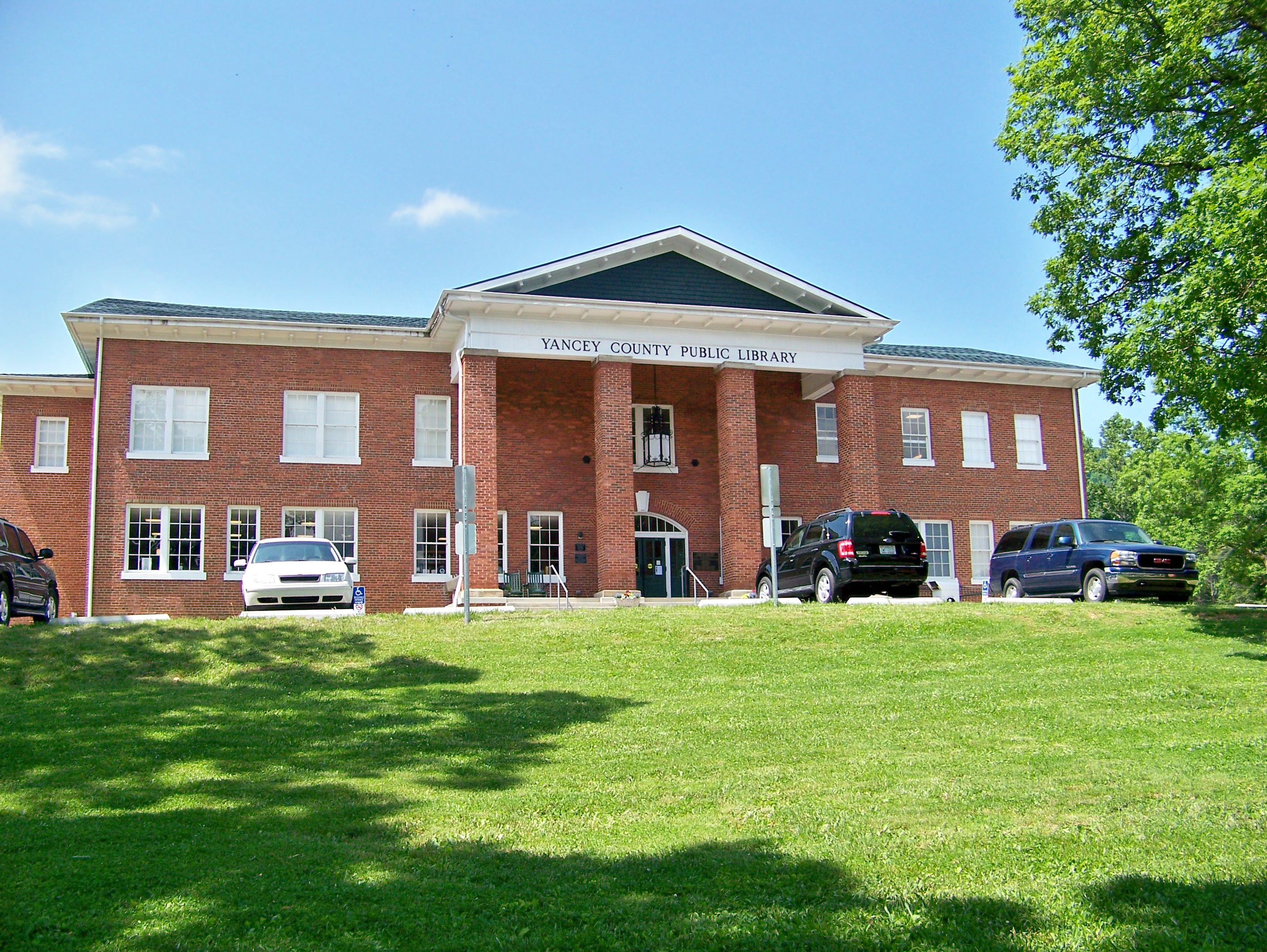
Public bookcases
Police stations
Music stores
Antique stores
Pharmacies
Cemeteries
Dance schools
Artworks
Hair salons
Housewares stores
Marketplaces
Motels
Restaurants
Dentist offices
Candle shops
Fabric stores
Pubs
Convenience stores
Streets nearby
Lincoln Park Road400 ft
North Main Street0.1 mi
Azalea Lane0.1 mi
Summit Street0.2 mi
Avery StreetLittle Free Library
0.2 mi
Academy Street0.3 mi
Walnut Street0.3 mi
Edgemoor Street0.3 mi
Town SquareBurnsville, Garden Deli
0.3 mi
Glendale Avenue0.3 mi
West Main StreetHog Hollow Wood Fired Pizza, Inc., Homeplace Beer Company, Music Box, Burnsville Candle Company, Carolina Country Inn, Pig & Grits
0.3 mi
East Boulevard0.3 mi
Court Street0.4 mi
South Main StreetRock Bridge, Black Mountain Range, Petal & Leaves, Stream, Friends
0.4 mi
Ray StreetHammond Antiques
0.4 mi
Shops nearby
Main Street Shoes0.3 mi
Yancey Theatre0.4 mi
Allotment gardens nearby
Seeds of Hope Community Garden0.2 mi
Art galleries nearby
Toe River Arts0.3 mi
Banks nearby
Wells Fargo0.3 mi
Bookstores nearby
Plott Hound Books0.3 mi
Book Cellar0.3 mi
Buildings nearby
Times Journal0.2 mi
Bailey & Bailey0.3 mi
Yancey County Chamber of Commerce0.3 mi
Chase-Coletta House0.3 mi
Blue Ridge Motel0.4 mi
Cafes nearby
Appalachian Java0.3 mi
Cemeteries nearby
Academy Cemetery0.2 mi
Clothing stores nearby
Southern Drifters Outfitters0.3 mi
Magnolia Wren Boutique & Lamp Post Vintage Market0.4 mi
Courthouses nearby
Yancey County Courthouse0.3 mi
Event venues nearby
Burnsville Town Center0.4 mi
Furniture stores nearby
Mountain Time On Main Street0.3 mi
General stores nearby
YummiYarns0.3 mi
Guest houses nearby
Nu Wray0.3 mi
Housewares stores nearby
The Colorful Gypsy0.3 mi
Museums nearby
The Lloyd Bailey Annex0.3 mi
McElroy House0.3 mi
Parks nearby
Ray–Cort Recreation Park0.1 mi
Burnsville Town Square0.3 mi
Places of worship nearby
Higgins Memorial United Methodist Church0.2 mi
First Baptist Church0.3 mi
Restaurants nearby
Snap Dragon0.2 mi
Live Oak Gastropub0.3 mi
Retail buildings nearby
Yancey County District Atty0.3 mi
Secondhand stores nearby
Reconciliation House0.3 mi
Streams nearby
Mitchell Branch0.2 mi
Town halls nearby
Burnsville Town Hall0.3 mi
Public transit map Burnsville Legend
| Railway | |
| Bus | |
| Streetcar |
Bicycle map Burnsville Legend
| Bike path | |
| Bike lane on roadway | |
| Cycling allowed on bus lane | |
| Bicycle street | |
| Open to cyclists | |
| Open to cyclists, good path | |
| Cycling prohibited | |
| Cobblestone |
| Long-distance bike route | (depending on scale) | |
| Long-distance bike route |
Pedestrian map Burnsville Legend
| Path |
| Long-distance hiking trail | (depending on scale) | |
| Long-distance hiking trail | ||
| Pedestrians prohibited |