
Ivy Street in Burnsville, North Carolina
Ivy Street in Burnsville is a residential street and it runs in a South direction starting from Summit Street and crosses East Main Street and ends at East Boulevard. Ivy Street also exists in Ashe County, Caldwell County, Cleveland County, Wake County and Gaston County.
- Road Type
- residential street
- Route
- north-south
Image
Dentist offices
Hair salons
Pharmacies
Antique stores
Housewares stores
Convenience stores
Motels
Artworks
Public bookcases
Candle shops
Pubs
Cemeteries
Restaurants
Police stations
Music stores
Fabric stores
Marketplaces
Dance schools
Streets nearby
East Boulevard0.1 mi
Bennett Street0.1 mi
Summit Street0.2 mi
Ramsey Street0.2 mi
Azalea Lane0.2 mi
Town SquareBurnsville, Garden Deli
0.2 mi
Woodlawn Avenue0.2 mi
Dale Street0.3 mi
McIntosh Avenue0.3 mi
School Circle0.3 mi
North Main Street0.3 mi
Long View Road0.3 mi
East Main StreetYancey County Sheriff's Office, Fox Country Store, Mt. Mitchell Dentistry, Sandy's Hair Fashions
0.3 mi
Celo Street0.4 mi
Nichols Street0.4 mi
Jones Street0.4 mi
Lincoln Park Road0.4 mi
Long View Drive0.4 mi
Windy Ridge Road0.4 mi
Meadow Road0.4 mi
Green Mountain Drive0.4 mi
Cemetery Circle0.4 mi
Oak Crest Road0.5 mi
Daniel Street0.5 mi
Boone Street0.5 mi
Banks nearby
Wells Fargo0.2 mi
Buildings nearby
Country Cablevision0.2 mi
Chase-Coletta House0.2 mi
Times Journal0.2 mi
Yancey County Board of Education0.3 mi
Yancy County Cultural Resource0.3 mi
Cemeteries nearby
Holcomb Cemetery0.4 mi
Marietta Atkins Cemetery0.5 mi
Clothing stores nearby
Southern Drifters Outfitters0.2 mi
Courthouses nearby
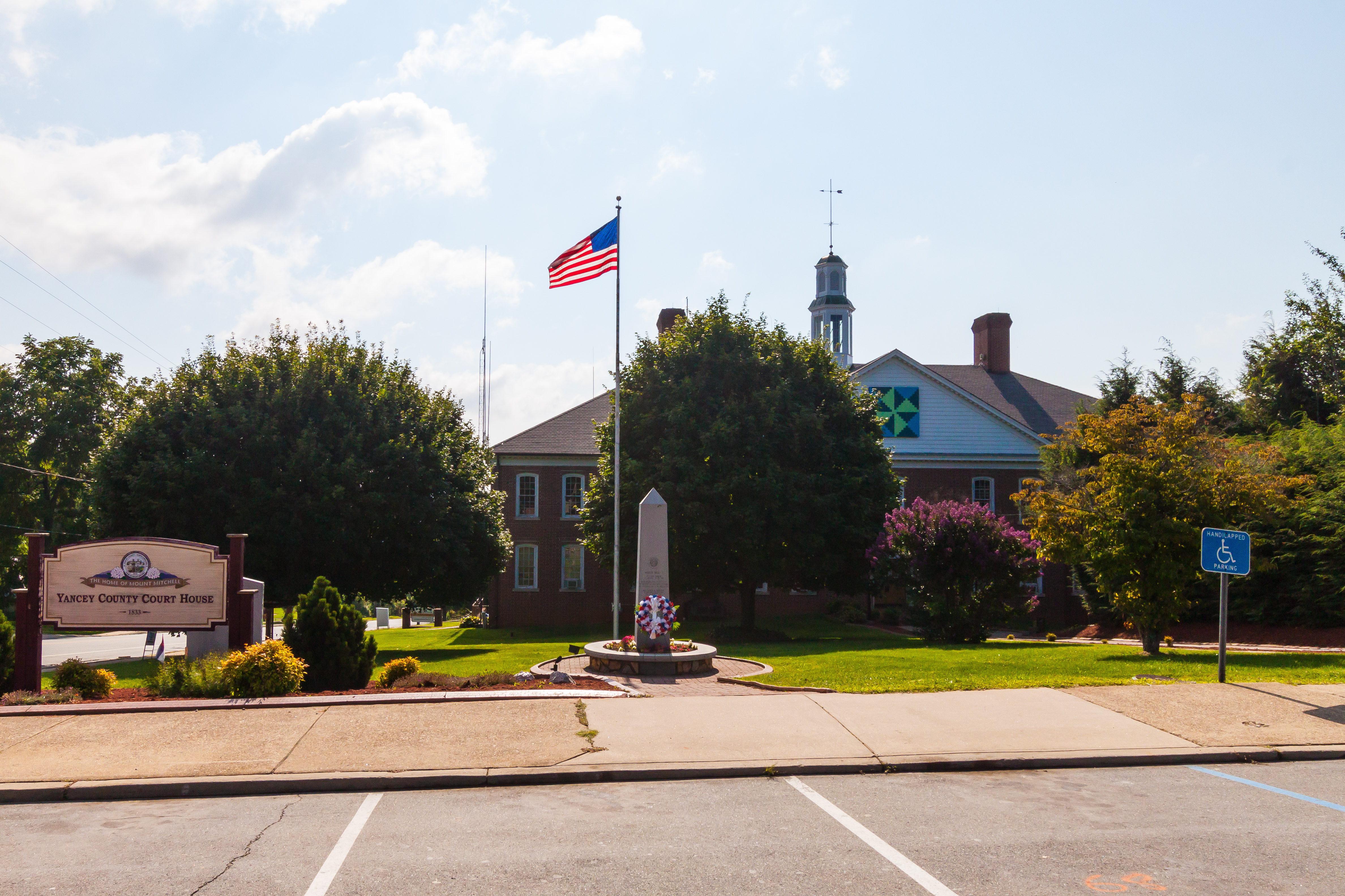
Yancey County Courthouse0.2 mi
Fitness centers nearby
Old Burnsville Gym0.4 mi
Florists nearby
Flowers By Vance0.4 mi
Guest houses nearby
Nu Wray0.2 mi
Libraries nearby
Yancey County Public Library0.3 mi
Parks nearby
Lincoln Park0.5 mi
Places of worship nearby
Higgins Memorial United Methodist Church0.3 mi
Playgrounds nearby
Kid Mountain0.3 mi
Restaurants nearby
Snap Dragon0.2 mi
Bubba's Good Eats0.3 mi
Secondhand stores nearby
Alexandra’s Closet0.2 mi
Streams nearby
Mitchell Branch0.2 mi
Little Crabtree Creek0.3 mi
Theaters nearby
Parkway Playhouse0.4 mi
Other nearby
Burnsville Substation100 ft
Public transit map Burnsville Legend
| Railway | |
| Bus | |
| Streetcar |
Bicycle map Burnsville Legend
| Bike path | |
| Bike lane on roadway | |
| Cycling allowed on bus lane | |
| Bicycle street | |
| Open to cyclists | |
| Open to cyclists, good path | |
| Cycling prohibited | |
| Cobblestone |
| Long-distance bike route | (depending on scale) | |
| Long-distance bike route |
Pedestrian map Burnsville Legend
| Path |
| Long-distance hiking trail | (depending on scale) | |
| Long-distance hiking trail | ||
| Pedestrians prohibited |