
Backscatter Radar in Cavalier County, North Dakota
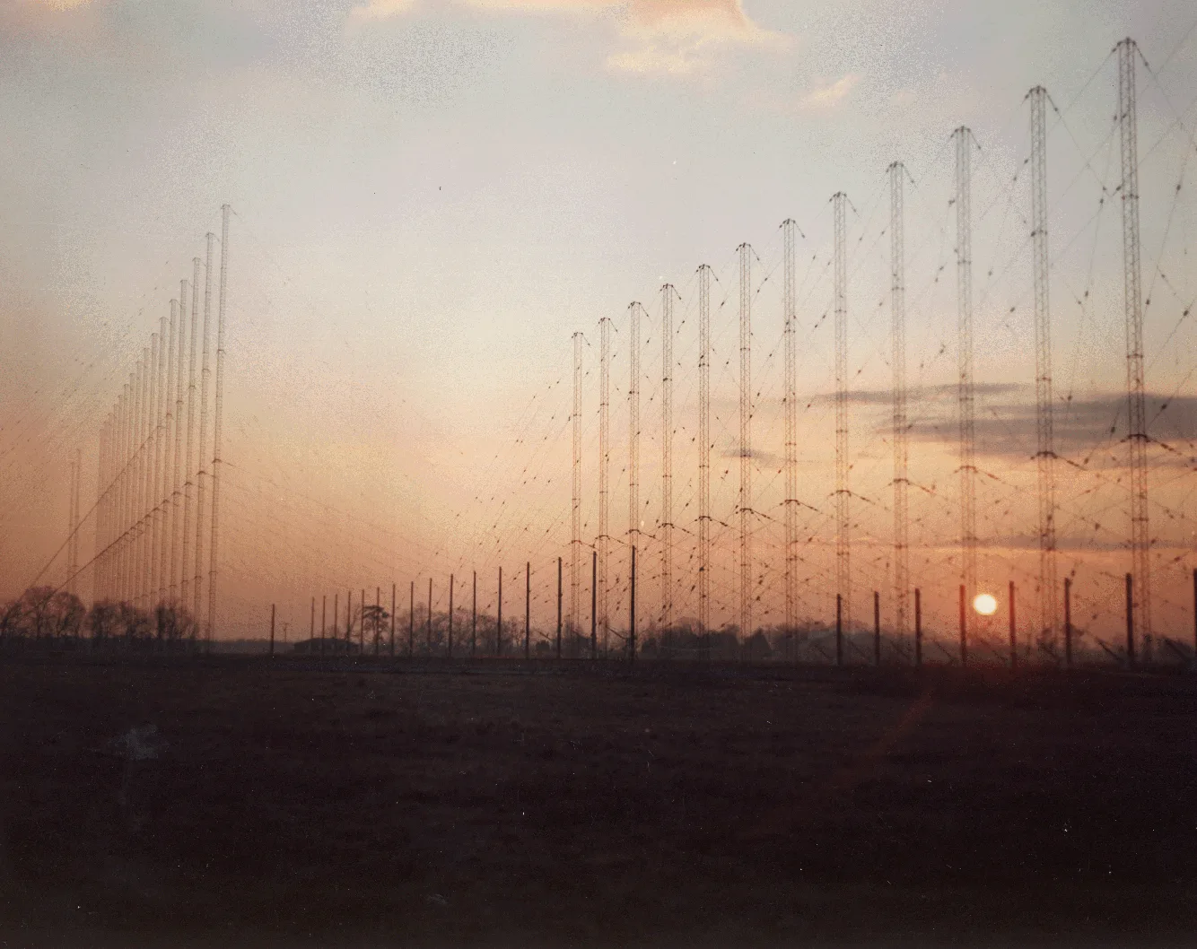
Backscatter Radar in Cavalier County is a bunker (Radar). Backscatter Radar is also known as OTH. Backscatter Radar is located near 5th Avenue. Ⓦ.
- Building Type
- bunker
- Website
- https://www.atlasobscura.com/places/pyramid-north-dakota
Image
Streets nearby
5th Avenue0.9 mi
Main StreetNekoma
0.9 mi
4th Avenue1.0 mi
3rd Avenue1.0 mi
Montana Street1.1 mi
2nd Avenue1.1 mi
Dakota Street1.1 mi
1st Avenue1.2 mi
State Highway 1Maida
1.2 mi
80th Street Northeast1.2 mi
105th Avenue NortheastMount Carmel
1.3 mi
107th Avenue Northeast1.6 mi
106th Avenue Northeast1.8 mi
82nd Street Northeast1.8 mi
108th Avenue Northeast1.9 mi
83rd Street Northeast2.0 mi
104th Avenue Northeast2.7 mi
State Highway 663.0 mi
81st Street NortheastHighland Church
3.4 mi
79th Street NortheastSoper Church
3.6 mi
78th Street NortheastHitterdal Church
4.2 mi
102nd Avenue Northeast4.4 mi
109th Avenue Northeast4.9 mi
77th Street NortheastHvideso Church
4.9 mi
86th Street Northeast4.9 mi
111th Avenue NortheastEasby
5.1 mi
103rd Avenue Northeast5.3 mi
110th Avenue NortheastStilwell Church
5.3 mi
85th Street Northeast5.4 mi
76th Street NortheastHerrick
5.5 mi
Hampden Road5.7 mi
87th Street Northeast5.9 mi
Buildings nearby
Nekoma Fire Dept.1.1 mi
Pain Reliever1.1 mi
North Praire Ag1.2 mi
Cemeteries nearby
Nekoma Cemetery2.5 mi
Highland Cemetery5.6 mi
Commercial areas nearby
Stanley R. Mickelsen Safeguard Complex0.4 mi
 Public transit map Cavalier County Legend
| Railway | |
| Bus | |
| Streetcar |
 Bicycle map Cavalier County Legend
| Bike path | |
| Bike lane on roadway | |
| Cycling allowed on bus lane | |
| Bicycle street | |
| Open to cyclists | |
| Open to cyclists, good path | |
| Cycling prohibited | |
| Cobblestone |
| Long-distance bike route | (depending on scale) | |
| Long-distance bike route |
 Pedestrian map Cavalier County Legend
| Path |
| Long-distance hiking trail | (depending on scale) | |
| Long-distance hiking trail | ||
| Pedestrians prohibited |