
Cornell Street in Grand Forks, North Dakota
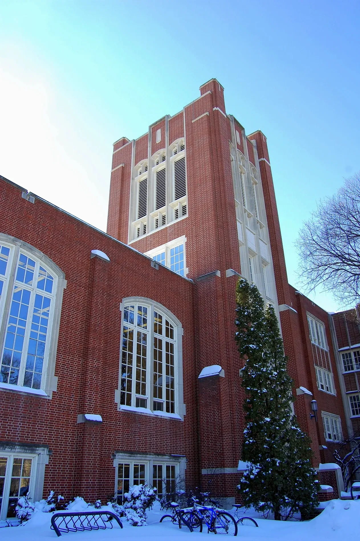
Cornell Street in Grand Forks is a residential street (15 km/h) and runs in a South direction starting from 2nd Avenue North and continues into Campus Road. Nearby there is among others a museum. The nearest stops are Hyslop and Witmer. The bus lines Blue, Night and Red serve this stop.
- Road Type
- residential street
- Speed Limit
- 15
- Route
- north-south
Image
Streets nearby
Campus RoadUpson I, Central Receiving, Hughes Fine Arts, Odegard, Campus Rd. & University, Armory
450 ft
2nd Avenue North0.2 mi
DeMers AvenueGrand Forks, GF Switch, Casey's General Store, Empire Theatre, The Loft, Tea & Crepes Cafe, DL Switch, Silver Dawn Books, Cenex
0.2 mi
University AvenueMemorial Union, Christus Rex, Hancock/Bek, Chester Fritz Library, University Landing Strip, Loaf 'N Jug, Tulane & University, Odegard, Wilkerson, Chester Fritz Auditorium, State St./University Ave, University Place
0.2 mi
Hamline StreetSitting Bull, Bookstore
0.2 mi
North Columbia RoadHappy Harry's Bottle Shop
0.2 mi
Cambridge Street0.3 mi
Railway nearby
Train Yard0.2 mi
Apartment buildings nearby
Hyslop at Memorial Village0.2 mi
The Bøden0.2 mi
Artworks nearby
Eternal Flame0.2 mi
Buildings nearby
Laird Core Library250 ft
Nistler/Chester Fritz Library Skywalk0.3 mi
Nistler/Merrifield Skywalk0.3 mi
Archives Coffee House0.3 mi
Newman Center0.3 mi
Alpha Tau Omega0.3 mi
Neuroscience Research Facility0.3 mi
Churches nearby
Christus Rex0.3 mi
Community centers nearby
Delta Tau Delta0.2 mi
Sigma Nu0.2 mi
Sigma Chi0.2 mi
Delta Gamma0.2 mi
Sigma Alpha Epsilon0.2 mi
Dormitories nearby
Swanson Hall0.2 mi
Libraries nearby
Chester Fritz Library0.2 mi
Parking lots nearby
Parking Ramp0.1 mi
Parks nearby
Main Quad0.3 mi
School buildings nearby
Jodsaas Center0.1 mi
University buildings nearby
Leonard Hall150 ft
Collaborative Energy Complex200 ft
Starcher Hall250 ft
Witmer Hall300 ft
Upson I350 ft
Abbott Hall400 ft
McCannel Hall500 ft
Upson II0.1 mi
O'Kelly/Ireland Hall0.1 mi
Education Building0.1 mi
Gillette Hall0.1 mi
Harrington Hall0.1 mi
Memorial Union0.1 mi
School of Law0.2 mi
Carnegie Building0.2 mi
Armory0.2 mi
Twamley Hall0.2 mi
Merrifield Hall0.2 mi
Nistler College of Business & Public Administration0.3 mi
Columbia Hall0.3 mi
Public transit map Grand Forks Legend
| Railway | |
| Bus | |
| Streetcar |
Bicycle map Grand Forks Legend
| Bike path | |
| Bike lane on roadway | |
| Cycling allowed on bus lane | |
| Bicycle street | |
| Open to cyclists | |
| Open to cyclists, good path | |
| Cycling prohibited | |
| Cobblestone |
| Long-distance bike route | (depending on scale) | |
| Long-distance bike route |
Pedestrian map Grand Forks Legend
| Path |
| Long-distance hiking trail | (depending on scale) | |
| Long-distance hiking trail | ||
| Pedestrians prohibited |