
Harvard Street in Grand Forks, North Dakota
Harvard Street in Grand Forks is a residential street and it runs in a South direction starting from 6th Avenue North and crosses 5th Avenue North and ends at University Avenue.
- Road Type
- residential street
- Route
- north-south
Image
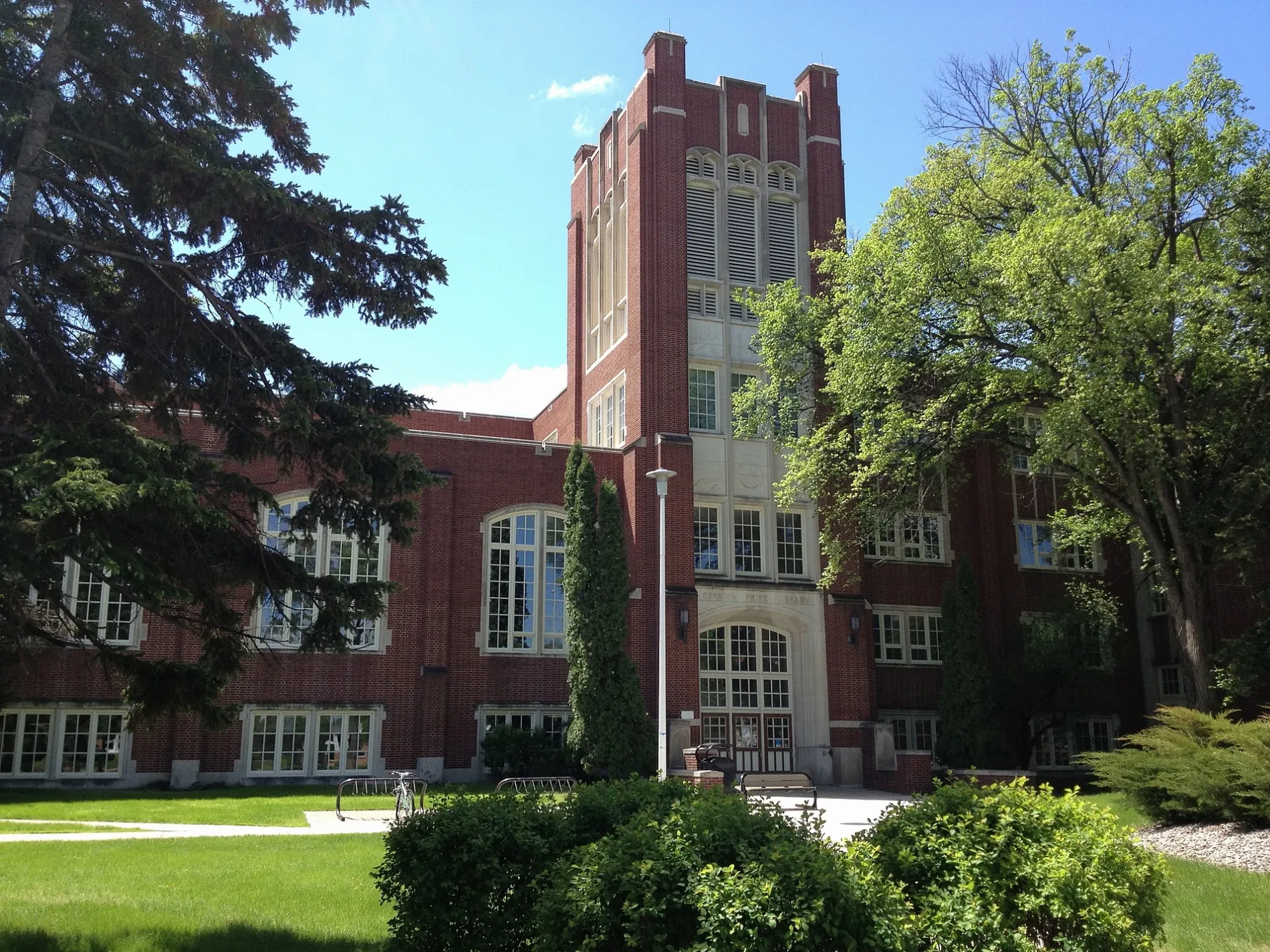
Fast food restaurants
Bus stops
Streets nearby
Cambridge Street400 ft
Oxford Street500 ft
University AvenueMemorial Union, Christus Rex, Hancock/Bek, Chester Fritz Library, University Landing Strip, Loaf 'N Jug, Tulane & University, Odegard, Wilkerson, Chester Fritz Auditorium, State St./University Ave, University Place
500 ft
Hamline StreetSitting Bull, Bookstore
0.1 mi
2nd Avenue North0.2 mi
6th Avenue NorthGallery Apartments, State St./6th Ave., Neighbour's Bar, Kasper's Bar & bottle shop, Stanford Road
0.2 mi
North Columbia RoadHappy Harry's Bottle Shop
0.3 mi
Columbia E Frontage Road N0.3 mi
Columbia Road0.3 mi
4th Avenue North0.4 mi
North 26th Street0.4 mi
5th Avenue North0.4 mi
Columbia Court0.4 mi
10th Avenue NorthJimmy John's, Midco Sports Network
0.4 mi
Buildings nearby
College of Nursing200 ft
Northern Plains Center for Behavioral Research200 ft
Archives Coffee House300 ft
Alpha Tau Omega350 ft
Pi Beta Phi450 ft
Alpha Chi Omega550 ft
Lambda Chi Alpha0.1 mi
Newman Center0.1 mi
Nistler/Chester Fritz Library Skywalk0.1 mi
Neuroscience Research Facility0.2 mi
Biomedical Research Center0.2 mi
University Bookstore0.3 mi
Churches nearby
Christus Rex400 ft
Wittenburg Chapel0.1 mi
Community centers nearby
Sigma Alpha Epsilon0.2 mi
Sigma Chi0.2 mi
Sigma Nu0.2 mi
Delta Tau Delta0.2 mi
Delta Gamma0.3 mi
Alpha Phi0.3 mi
Pi Kappa Alpha0.3 mi
Newman House0.3 mi
Dormitories nearby
Swanson Hall0.2 mi
Hospitals nearby
Altru Family Medicine Residency0.2 mi
Libraries nearby
Chester Fritz Library0.1 mi
Parking lots nearby
Parking Ramp0.3 mi
Parks nearby
Main Quad0.1 mi
Sports fields nearby
Bronson Field0.3 mi
Stadiums nearby
Ralph Engelstad Arena0.3 mi
University buildings nearby
Nistler College of Business & Public Administration0.1 mi
School of Law0.2 mi
Memorial Union0.2 mi
O'Kelly/Ireland Hall0.2 mi
Columbia Hall0.2 mi
McCannel Hall0.2 mi
Public transit map Grand Forks Legend
| Railway | |
| Bus | |
| Streetcar |
Bicycle map Grand Forks Legend
| Bike path | |
| Bike lane on roadway | |
| Cycling allowed on bus lane | |
| Bicycle street | |
| Open to cyclists | |
| Open to cyclists, good path | |
| Cycling prohibited | |
| Cobblestone |
| Long-distance bike route | (depending on scale) | |
| Long-distance bike route |
Pedestrian map Grand Forks Legend
| Path |
| Long-distance hiking trail | (depending on scale) | |
| Long-distance hiking trail | ||
| Pedestrians prohibited |