
2nd Avenue in Colfax, North Dakota
2nd Avenue in Colfax is a two-lane, unpaved residential street. It runs in a northeast-southwest direction starting from Dakota Street South and crosses Blaine Street South. It ends in a cul-de-sac. 2nd Avenue also exists in Belford Township.
- Road Type
- residential street
- Lanes
- 2
- Route
- northeast-southwest
Image
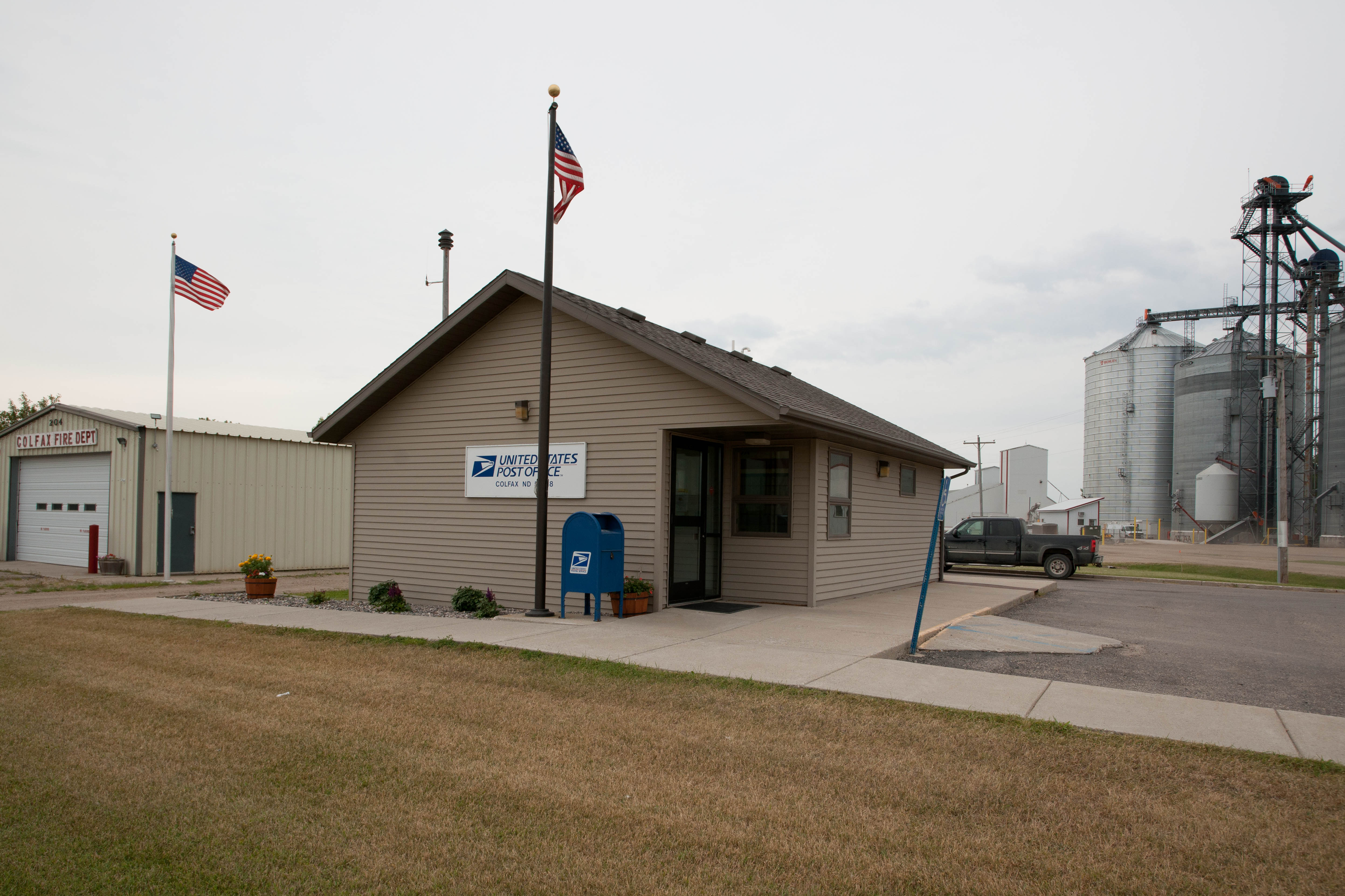
Streets nearby
1st Avenue400 ft
Blaine Street South450 ft
Dakota Street South0.1 mi
Broadway Street South0.2 mi
Blaine Street North0.2 mi
Grant Street North0.2 mi
Reagan Street0.3 mi
North Country Trail0.4 mi
Gerald Way0.4 mi
170th Avenue Southeast1.3 mi
169th Avenue Southeast2.6 mi
67th Street Southeast2.6 mi
63rd Street Southeast2.9 mi
168th Avenue Southeast3.0 mi
171st Avenue Southeast3.1 mi
66th Street Southeast3.5 mi
68th Street Southeast3.6 mi
166th Avenue Southeast4.1 mi
62nd Street Southeast4.1 mi
167th Avenue Southeast4.5 mi
173rd Avenue Southeast4.5 mi
174th Avenue Southeast4.6 mi
61st Street Southeast4.6 mi
69th Street SoutheastBethany Church
4.9 mi
172nd Avenue Southeast4.9 mi
Colfax Avenue5.1 mi
64th Street Southeast5.6 mi
175th Avenue SoutheastEnloe
5.6 mi
60th Street Southeast5.6 mi
70th Street Southeast5.7 mi
165th Avenue SoutheastIsta School, Zion Church
5.7 mi
Buildings nearby
Richland Junior/Senior High School0.1 mi
Railways nearby
Second Subdivision3.0 mi
Rivers nearby
Wild Rice River4.2 mi
Sports fields nearby
Colfax Municipal Field0.2 mi
Streams nearby
Pitcairn Creek3.4 mi
Public transit map Colfax Legend
| Railway | |
| Bus | |
| Streetcar |
Bicycle map Colfax Legend
| Bike path | |
| Bike lane on roadway | |
| Cycling allowed on bus lane | |
| Bicycle street | |
| Open to cyclists | |
| Open to cyclists, good path | |
| Cycling prohibited | |
| Cobblestone |
| Long-distance bike route | (depending on scale) | |
| Long-distance bike route |
Pedestrian map Colfax Legend
| Path |
| Long-distance hiking trail | (depending on scale) | |
| Long-distance hiking trail | ||
| Pedestrians prohibited |