
Joint Systems Manufacturing Center in Shawnee Township
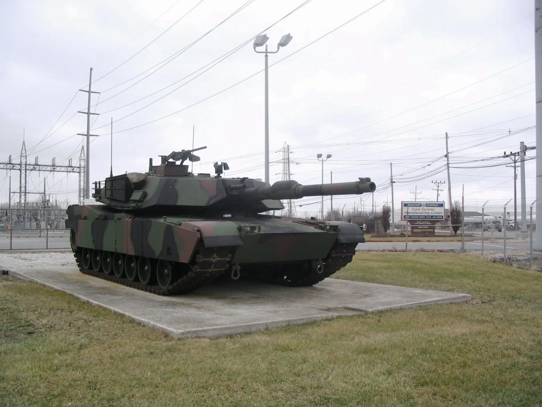
Joint Systems Manufacturing Center in Allen County is a military area (Elevation 263 m). Joint Systems Manufacturing Center is also known as Lima Army Tank Plant. Ⓦ.
- Alternate Name
- Lima Army Tank Plant
- Land Use
- military area
Fast food restaurants
Hardware stores
Computer stores
Places of worship
Charging stations
Schools
Streets nearby
Mook Street0.4 mi
E Street0.4 mi
Herman Street0.5 mi
Garford Avenue0.5 mi
West 9th Street0.6 mi
C Street0.7 mi
South Dixie HighwayVirtual Technologies Group, AmeriGas, Lima, OH Rechargery @ Wawa
0.7 mi
Buckeye Road0.8 mi
Reed Road1.0 mi
Dawn Drive1.1 mi
West 16th Street1.1 mi
West 15th Street1.1 mi
West 14th Street1.1 mi
West 13th Street1.1 mi
West 12th Street1.1 mi
West 11th Street1.1 mi
West 17th Street1.1 mi
Norval Avenue1.1 mi
West Hanthorn Road1.1 mi
West 10th StreetShiloh Missionary Baptist Church
1.2 mi
South Metcalf Street1.2 mi
Fort Shawnee Industrial Drive1.2 mi
West 8th Street1.2 mi
Blue Jacket Court1.2 mi
Southland Place1.2 mi
Estate Drive1.2 mi
West 7th Street1.2 mi
Zurmehly Road1.2 mi
Southwood Drive1.2 mi
West 4th Street1.3 mi
Adgate Road1.3 mi
Susan Lane1.3 mi
McClain Road1.3 mi
Rotary Riverwalk1.3 mi
West Breese RoadFort Shawnee, Ace Hardware, Elmview
1.3 mi
Evergreen Street1.4 mi
Southgate Boulevard1.4 mi
Muskingun Trail1.4 mi
Commercial buildings nearby
Waste Management of Ohio Lima Transfer Station0.3 mi
Allen County Refuse Solid Waste Transfer Station1.0 mi
Convenience stores nearby
Shawnee Fuel Stop LIma1.2 mi
Fast food restaurants nearby
Arby's1.2 mi
Industrial areas nearby
Lima Refinery1.3 mi
Landfills nearby
Buckeye Road Landfill0.8 mi
Motorcycle shops nearby
Lima Harley-Davidson1.0 mi
Parks nearby
Heritage Park0.6 mi
Railways nearby
NS Lima District0.4 mi
CSX Toledo Subdivision0.7 mi
Other nearby
Sterling Substation1.2 mi
| Year built | 1941 |
|---|---|
| Located in | Ohio |
| Country | United States |
Public transit map Shawnee Township Legend
| Railway | |
| Bus | |
| Streetcar |
Bicycle map Shawnee Township Legend
| Bike path | |
| Bike lane on roadway | |
| Cycling allowed on bus lane | |
| Bicycle street | |
| Open to cyclists | |
| Open to cyclists, good path | |
| Cycling prohibited | |
| Cobblestone |
| Long-distance bike route | (depending on scale) | |
| Long-distance bike route |
Pedestrian map Shawnee Township Legend
| Path |
| Long-distance hiking trail | (depending on scale) | |
| Long-distance hiking trail | ||
| Pedestrians prohibited |