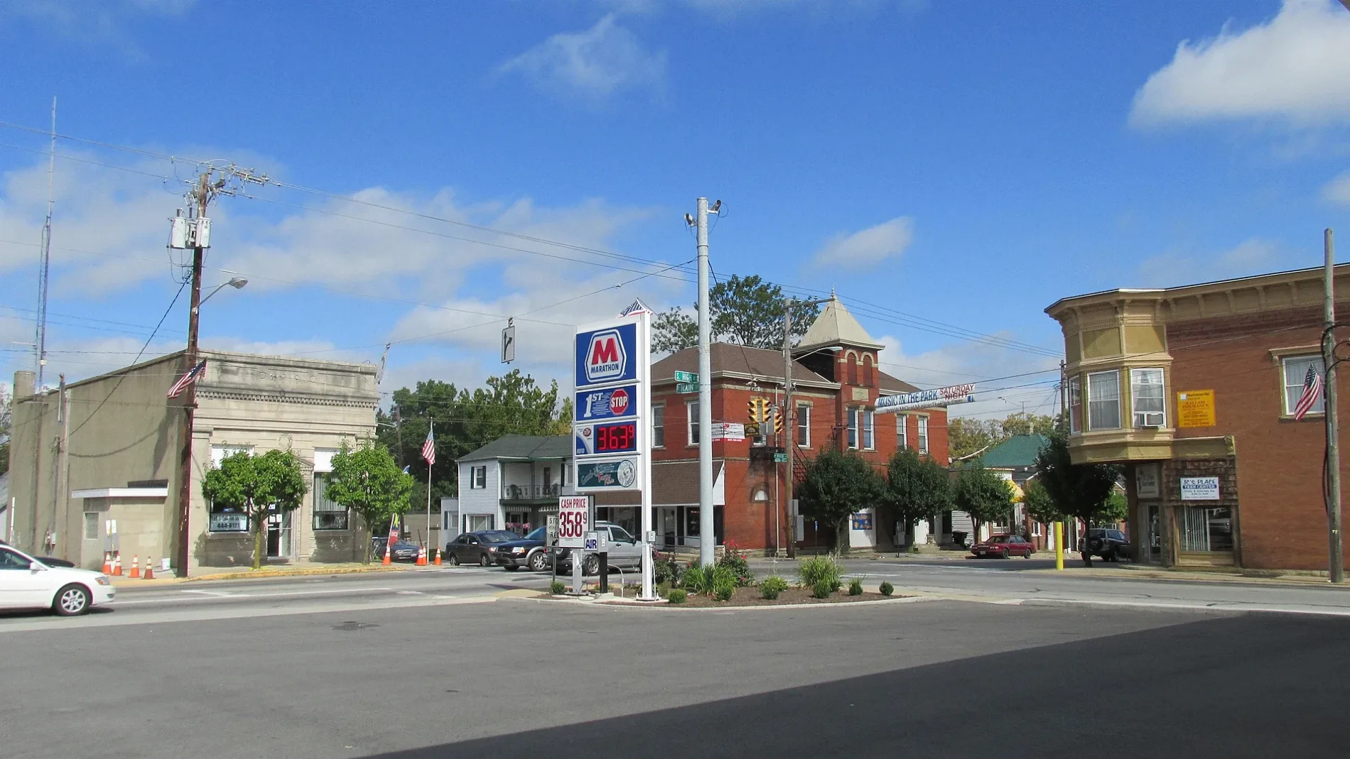
Looking northwest at the intersection of Tri-County Highway (Old Ohio Highway 32) and High Street (US Highway 68) in Mount Orab, Ohio. – Aesopposea, CC BY-SA 3.0 – Wikimedia Commons Mount Orab is located in Brown County. About 4,347 people live here (as of 2020). Between 2010 and 2020, the population grew from 3,664 to 4,347. The region is at 287 meters above sea level. The area covers about 24.9 square kilometers. There are about 1 streets in Mount Orab. The postal codes are 45154. Mount Orab is village in Sterling, Green, and Pike townships in Brown County, Ohio, United States. More information at www.mtoraboh.us.


 Public transit map Mount Orab Legend
  Bicycle map Mount Orab Legend
  Pedestrian map Mount Orab Legend