
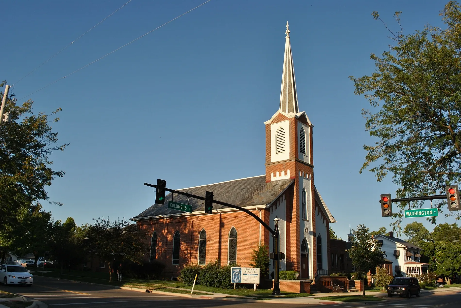
East Columbus Street in Canal Winchester, Ohio
East Columbus Street in Canal Winchester is a two-lane, asphalted local road. The street has partly sidewalks. It runs in a southeast-northwest direction starting from West Columbus Street and crosses South High Street, Middle Alley and South Trine Street. It ends in a cul-de-sac.
- Road Type
- local road
- Lanes
- 2
- Speed Limit
- 25 mph
- Route
- southeast-northwest
Image
Museums
- National Barber Museum and Hall of Fame (Web) – approx. 0.1 mi.
Schools
Convenience stores
Places of worship
Town halls
Post offices
Streets nearby
South High StreetCanal Winchester, Canal Winchester Municipal Building, Homestead Beer Co.
250 ft
Franklin StreetHope United Methodist Church, Canal Winchester Schools Administration Building
250 ft
West Columbus StreetDavids United Church of Christ
450 ft
Middle Alley500 ft
South Trine Street500 ft
North Trine StreetKramers Addition
0.1 mi
Towing Path Alley0.2 mi
Liberty Street0.2 mi
North High StreetNorth High Street Historic District
0.2 mi
Mound StreetWest Mound Street Historic District
0.2 mi
Mac Drive0.2 mi
Clinton Street0.3 mi
East Waterloo Street0.3 mi
Elm Street0.3 mi
Eliza Drive0.3 mi
East Oak Street0.3 mi
West Oak Street0.3 mi
West Waterloo StreetDavids Lutheran Church, Spence Funeral Home, Starbucks, CheckSmart, AT&T, Canal Winchester Town Hall, National Barber Museum and Hall of Fame, Loose Rail Brewing
0.3 mi
Walnut View Court North0.3 mi
John Anne Circle0.3 mi
Badger Drive0.3 mi
Ida Way0.3 mi
Powder Horn Place0.3 mi
Old Coach Place0.4 mi
Walnut View Court South0.4 mi
Elizabeth Street0.4 mi
East Hocking Street0.4 mi
Washington Street0.4 mi
Lithopolis Winchester Road0.4 mi
West Street0.4 mi
Groveport Road0.5 mi
Beck StreetBeckley Addition
0.5 mi
Woodsview Drive0.5 mi
Park Street0.5 mi
Flintlock Way0.5 mi
Abandoned railways nearby
Scioto Valley Electric Railway0.2 mi
Banks nearby
Huntington Bank350 ft
Buildings nearby
Canal Winchester Station0.3 mi
O.P. Chaney Grain Elevator0.3 mi
Dentist's offices nearby
Canal Family Dentistry450 ft
Fast food restaurants nearby
DQ Grill & Chill0.3 mi
Parks nearby
Stradley Place0.1 mi
Village Park0.3 mi
McGill Park0.4 mi
Railways nearby
Logan Subdivision0.3 mi
Residential areas nearby
Canal Villas0.3 mi
Retail buildings nearby
NAPA0.4 mi
Town halls nearby
Canal Winchester City Hall0.1 mi
Canal Winchester Town Hall0.1 mi
Public transit map Canal Winchester Legend
| Railway | |
| Bus | |
| Streetcar |
Bicycle map Canal Winchester Legend
| Bike path | |
| Bike lane on roadway | |
| Cycling allowed on bus lane | |
| Bicycle street | |
| Open to cyclists | |
| Open to cyclists, good path | |
| Cycling prohibited | |
| Cobblestone |
| Long-distance bike route | (depending on scale) | |
| Long-distance bike route |
Pedestrian map Canal Winchester Legend
| Path |
| Long-distance hiking trail | (depending on scale) | |
| Long-distance hiking trail | ||
| Pedestrians prohibited |