
Old Meadows Court in Canal Winchester, Ohio
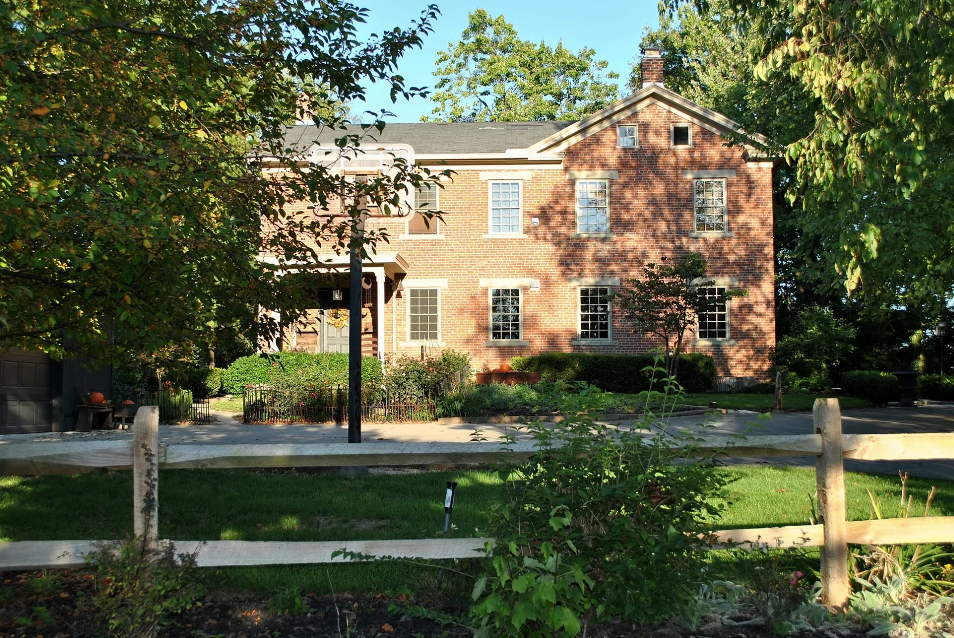
Old Meadows Court in Canal Winchester is a two-lane, asphalted residential street. The street has sidewalks. It runs in a southeast-northwest direction and ends at Chesterville Drive, while the other end is a cul-de-sac.
- Road Type
- residential street
- Lanes
- 2
- Speed Limit
- 25 mph
- Route
- southeast-northwest
Image
Fast food restaurants
Funeral homes
Museums
- National Barber Museum and Hall of Fame (Web) – approx. 0.7 mi.
Cell phone stores
Places of worship
Convenience stores
Gas stations
Beverage stores
Nursing homes
Bus stops
Cafes
Restaurants
Post offices
Town halls
Schools
Kindergartens
Streets nearby
Sarwil Drive North350 ft
Chesterville Court450 ft
Windward Court0.1 mi
Portage Court0.2 mi
Lehman Drive0.2 mi
Chesterville Drive0.2 mi
Daventry Court0.2 mi
Sarwil Drive South0.2 mi
Glen Lane North0.2 mi
Glen Lane South0.2 mi
Fallen Timbers Court0.2 mi
Jones Place0.3 mi
Pfeifer Drive0.3 mi
Steen Street0.3 mi
Ralph Lane0.3 mi
Archie Court0.3 mi
Barb Lane0.3 mi
Cherry Bend0.3 mi
Turning Stone Loop0.3 mi
Carriage Place0.4 mi
Southeast Expressway0.4 mi
Highland AvenueLombardy Heights
0.4 mi
Bigerton Bend0.4 mi
Conrad Drive0.4 mi
Marilyn Lane0.4 mi
Park Street0.4 mi
Beck StreetBeckley Addition
0.4 mi
West Street0.4 mi
Covenant Way0.5 mi
West Fairfield Street0.5 mi
Water StreetCanal Winchester Post Office
0.5 mi
Lakeview Circle0.5 mi
Winchester Cemetery Road0.5 mi
West Waterloo StreetSpence Funeral Home, Davids Lutheran Church, Starbucks, CheckSmart, AT&T, Canal Winchester Town Hall, National Barber Museum and Hall of Fame, Loose Rail Brewing
0.5 mi
Winchester Pike0.5 mi
Crescent Boat Lane0.7 mi
Abraham Drive0.7 mi
Bakeries nearby
Heavenly Treats Bakery0.3 mi
Banks nearby
Wright-Patt Credit Union0.6 mi
Bike shops nearby
Cyclist Connection0.3 mi
Candle shops nearby
Columbus Candle Supply0.4 mi
Chapels nearby
Winchester Abbey0.5 mi
Fitness centers nearby
Advanced Training Fitness & Yoga0.2 mi
Gas stations nearby
Sunoco0.3 mi
Parks nearby
Cherry Landing Park0.3 mi
Roger Hanners Recreational Fields & Skate Park0.4 mi
Railways nearby
Logan Subdivision0.4 mi
Retail buildings nearby
NAPA0.5 mi
Streams nearby
Tussing Ditch0.4 mi
 Public transit map Canal Winchester Legend
| Railway | |
| Bus | |
| Streetcar |
 Bicycle map Canal Winchester Legend
| Bike path | |
| Bike lane on roadway | |
| Cycling allowed on bus lane | |
| Bicycle street | |
| Open to cyclists | |
| Open to cyclists, good path | |
| Cycling prohibited | |
| Cobblestone |
| Long-distance bike route | (depending on scale) | |
| Long-distance bike route |
 Pedestrian map Canal Winchester Legend
| Path |
| Long-distance hiking trail | (depending on scale) | |
| Long-distance hiking trail | ||
| Pedestrians prohibited |