
Tecumseh High School in Bethel Township
Tecumseh High School in Clark County is a school (Tecumseh Local Schools, Elevation 273 m) 🌐. Tecumseh High School is located near Wheato Drive. Ⓦ.
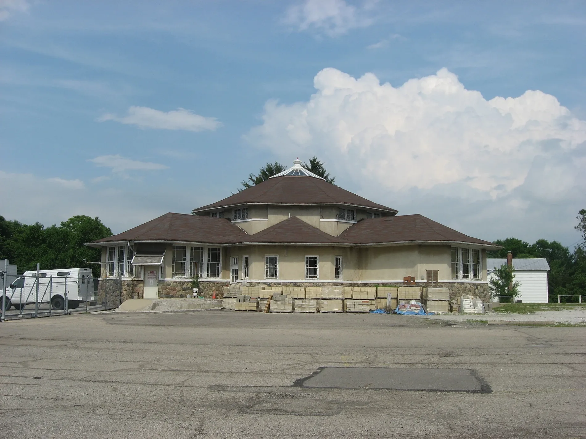
- Amenity
- school
- Operator
- Tecumseh Local Schools
- Website
- https://www.tecumseh.k12.oh.us/tecumsehhighschool_home.aspx
- Building Type
- school building
Streets nearby
Wheato Drive0.5 mi
Night Hawk Trail0.6 mi
Charmwood Lane0.7 mi
Whaley Road0.7 mi
Mussleman Road0.8 mi
North Medway-Carlisle Road0.8 mi
Lammes Lane0.8 mi
Willow Road0.9 mi
Tillie Lane0.9 mi
South Medway-Carlisle Road0.9 mi
Bischoff Road1.2 mi
Musselman Road1.3 mi
Kendig Road1.4 mi
Sandhurst Drive1.4 mi
Brookside Drive1.4 mi
North Lake Road1.4 mi
Sheryl Road1.5 mi
Teresa Lane1.5 mi
Medway-New Carlisle Road1.6 mi
Union Road1.6 mi
Flora Drive1.6 mi
Colonial Drive1.6 mi
Farmers Drive1.7 mi
Quick RoadBethel Township Hall
1.7 mi
Willis Way1.7 mi
Katherine Boulevard1.7 mi
North Drive1.8 mi
Zeller Drive1.8 mi
Milton Carlisle Road1.8 mi
Swan Drive1.8 mi
Croskey BoulevardCountry Haven Mobile Home Park
1.8 mi
Western Drive1.8 mi
Rea Drive1.8 mi
Snider Road1.8 mi
Funderburg Road2.0 mi
Lower Valley PikeMedway Church
2.0 mi
West National RoadForgy
2.0 mi
Buildings nearby
Van Skoyk Sheet Metal1.7 mi
Cemeteries nearby
Glen Haven Memorial Cemetery1.5 mi
New Carlisle Cemetery1.8 mi
Clark County Home Infirmary Cemetery1.8 mi
Event venues nearby
The OT Farms Wedding & Events Venue0.6 mi
Recreation grounds nearby
Tecumseh Tennis Courts0.2 mi
School buildings nearby
Tecumseh Bosrd Office0.2 mi
Olive Branch High School0.2 mi
Tecumseh Middle School0.2 mi
Social facilities nearby
VFW Post 99661.0 mi
Streams nearby
Honey Creek2.0 mi
Other nearby
Andy Barnhart Memorial Airport1.1 mi
| Year built | 1952 |
|---|---|
| Located in | Ohio |
| Postal code | 45344 |
| Country | United States |
Public transit map Bethel Township Legend
| Railway | |
| Bus | |
| Streetcar |
Bicycle map Bethel Township Legend
| Bike path | |
| Bike lane on roadway | |
| Cycling allowed on bus lane | |
| Bicycle street | |
| Open to cyclists | |
| Open to cyclists, good path | |
| Cycling prohibited | |
| Cobblestone |
| Long-distance bike route | (depending on scale) | |
| Long-distance bike route |
Pedestrian map Bethel Township Legend
| Path |
| Long-distance hiking trail | (depending on scale) | |
| Long-distance hiking trail | ||
| Pedestrians prohibited |