
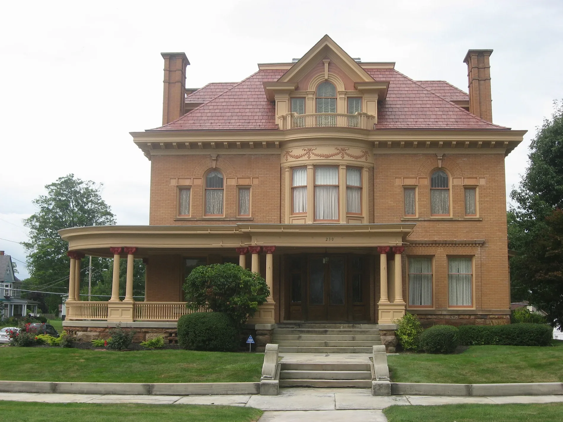
South Jefferson Street in Galion, Ohio
South Jefferson Street in Galion is a residential street. It runs in a north-south direction starting from North Jefferson Street and crosses Harding Way West, Gunther Court and Cherry Street and ends at Grove Avenue. South Jefferson Street also exists in Clinton County, Montgomery County, Knox County, Auglaize County and Columbiana County.
- Road Type
- residential street
- Route
- north-south
Image
Dentist offices
Bike shops
Schools
Places of worship
Restaurants
Fast food restaurants
Pharmacies
ATMs
Streets nearby
Cherry StreetSaint Paul United Methodist Church
500 ft
Wiggs Court0.1 mi
Fellow Street0.1 mi
Westwood Avenue0.1 mi
Clymer Avenue0.1 mi
Orange Street0.2 mi
Gunther Court0.2 mi
Grove Avenue0.2 mi
North Jefferson Street0.2 mi
Homer Street0.2 mi
Monroe Street0.2 mi
West Church Street0.2 mi
Boyd Boulevard0.3 mi
Portland Way South0.3 mi
Grand Street0.3 mi
Fraizer Court0.3 mi
Portland Way North0.3 mi
Mackey Street0.3 mi
Mc Donald Avenue0.4 mi
Harding Way WestGalion, Phil's Deli
0.4 mi
Virgil Street0.4 mi
Euclid Avenue0.4 mi
John Street0.4 mi
West Street0.5 mi
Levant Dawson Trail0.5 mi
Rosewood Avenue0.5 mi
Maple Heights Drive0.5 mi
Plesant Drive0.5 mi
Gleddale Boulevard0.5 mi
Clay Street0.5 mi
Wine Street0.5 mi
Sunnyside Drive0.6 mi
Auto parts stores nearby
O'Reilly Auto Parts0.2 mi
Advance Auto Parts0.3 mi
Buildings nearby
Nationwide Chris Schieler Agency0.3 mi
Cafes nearby
Tim Hortons0.3 mi
Car washes nearby
West Side Car Wash0.4 mi
Convenience stores nearby
Duchess Shoppe0.2 mi
Speedway0.2 mi
Riverside0.3 mi
Fast food restaurants nearby
Taco Bell0.2 mi
McDonald's0.3 mi
Gas stations nearby
Duchess0.2 mi
Motels nearby
Hometown Inn0.4 mi
Restaurants nearby
Michael's Casual Dining0.3 mi
Pizza Hut0.4 mi
Tire dealers nearby
Bridgestone0.3 mi
Variety stores nearby
Dollar Tree0.4 mi
Other nearby
Galion Community Hospital Heliport0.2 mi
Public transit map Galion Legend
| Railway | |
| Bus | |
| Streetcar |
Bicycle map Galion Legend
| Bike path | |
| Bike lane on roadway | |
| Cycling allowed on bus lane | |
| Bicycle street | |
| Open to cyclists | |
| Open to cyclists, good path | |
| Cycling prohibited | |
| Cobblestone |
| Long-distance bike route | (depending on scale) | |
| Long-distance bike route |
Pedestrian map Galion Legend
| Path |
| Long-distance hiking trail | (depending on scale) | |
| Long-distance hiking trail | ||
| Pedestrians prohibited |