
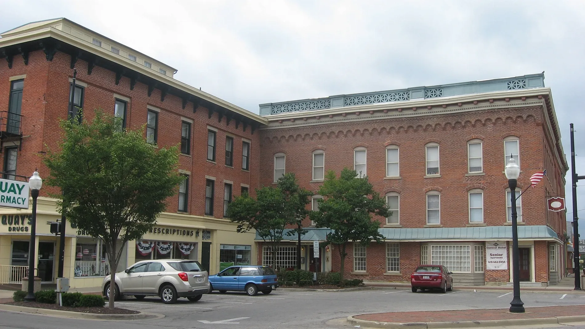
Wisterman Court in Galion, Ohio
Wisterman Court in Galion is a service road. It runs in a north-south direction starting from North Market Street and crosses Myrtle Drive and West Church Street. It ends in a cul-de-sac.
- Road Type
- service road
- Route
- north-south
Image
Bike shops
Dentist offices
Fast food restaurants
Places of worship
Restaurants
Schools
Pharmacies
ATMs
Streets nearby
Myrtle Drive150 ft
North Union StreetTrinity Lutheran Church
450 ft
North Boston Street0.1 mi
Jan Court0.1 mi
North Market Street0.2 mi
North Columbus Street0.2 mi
Center Street0.2 mi
Olentangy Court0.2 mi
Gill Avenue0.2 mi
Erie Street0.2 mi
Finley Drive0.3 mi
Walker Street0.3 mi
North Liberty StreetSaint Joseph School
0.3 mi
Sherman StreetFoursquare Church
0.3 mi
West Walnut StreetPeace Lutheran Church, First Baptist Church, First Church of Christ Scientist
0.3 mi
Harding Way WestGalion, Phil's Deli
0.3 mi
East Walnut StreetFirst United Methodist Church
0.3 mi
Zimmerman AvenueGalion Seventh-day Adventist Church, Bradley M. Smith DDS
0.3 mi
Liberty Street0.3 mi
North Washington Street0.3 mi
South Columbus StreetFirst Lutheran Church
0.4 mi
Fairview Avenue0.4 mi
Gunther Court0.4 mi
Harding Way EastCycling Sports Center, The Wistle Stop, Jade Palace, Bistro 217
0.4 mi
East Payne AvenueFirst Church of the Open Bible, First Church of Christ
0.4 mi
Bloomer Street0.4 mi
South Liberty Street0.4 mi
Koppe Court0.4 mi
East Atwood Street0.4 mi
West Atwood StreetChurch of the Nazarene
0.4 mi
South Washington Street0.5 mi
Lehigh Place0.5 mi
South Union StreetGrace Episcopal Church
0.5 mi
East Railroad StreetCP 80
0.5 mi
Auto repair shops nearby
The Muffler House0.3 mi
Banks nearby
United Bank0.2 mi
First Federal Bank of Ohio0.2 mi
Car dealerships nearby
Mies Motors0.2 mi
Commercial buildings nearby
State Farm0.2 mi
Big Four Depot0.4 mi
Fast food restaurants nearby
Wendy's0.2 mi
Libraries nearby
Galion Public Library0.2 mi
Museums nearby
Galion History Center0.3 mi
Places of worship nearby
First United Church of Christ of Galion0.2 mi
Saint Joseph Catholic Church0.3 mi
Post offices nearby
Galion Post Office0.2 mi
Railways nearby
Mount Victory Subdivision0.4 mi
Town halls nearby
Galion City Hall0.3 mi
Other nearby
Public Square0.2 mi
Public transit map Galion Legend
| Railway | |
| Bus | |
| Streetcar |
Bicycle map Galion Legend
| Bike path | |
| Bike lane on roadway | |
| Cycling allowed on bus lane | |
| Bicycle street | |
| Open to cyclists | |
| Open to cyclists, good path | |
| Cycling prohibited | |
| Cobblestone |
| Long-distance bike route | (depending on scale) | |
| Long-distance bike route |
Pedestrian map Galion Legend
| Path |
| Long-distance hiking trail | (depending on scale) | |
| Long-distance hiking trail | ||
| Pedestrians prohibited |