
Image
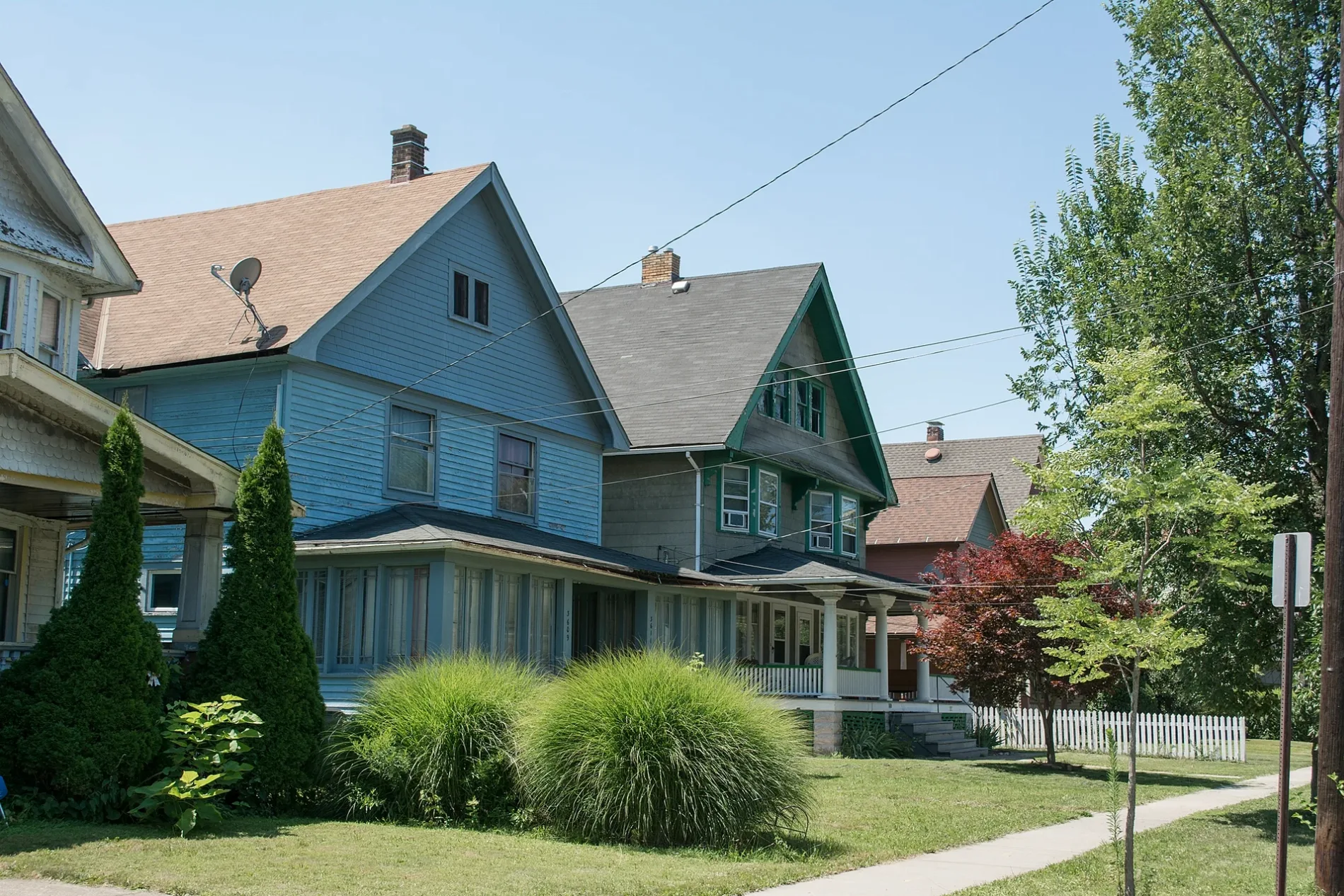
Streets nearby
Archwood AvenueArchwood United Church of Christ, Brooklyn Memorial United Methodist Church, Brookside Food Center, Cricket
200 ft
Mapledale AvenueChina Town
250 ft
Riverside Avenue0.1 mi
Leading Avenue0.1 mi
West 45th Street0.1 mi
Skeel Court0.1 mi
West 42nd Street0.1 mi
Berkebile Drive0.2 mi
West 43rd Street0.2 mi
West 46th Place0.2 mi
Hodgson Avenue0.2 mi
West 44th Place0.2 mi
Hannon Drive0.2 mi
Torwood Court0.2 mi
West 42nd Place0.2 mi
Kerns Avenue0.2 mi
Fulton RoadKenny's, Papa John's, Jo's Barber Shop, China City, Benny's Sports Cafe, Boost Mobile, Ohio City, Le Petit Triangle, Momocho, The Studio Salon, Alcove Lounge, KeyBank, CheckSmart, Pizza Joe's, Family Dollar, Guaterriqueña Bakery, Citi Trends, WOW Beauty Supplies, Savage Burger, North Shore High School
0.2 mi
West 47th Place0.2 mi
Poe AvenuePro Wireless
0.2 mi
West 39th StreetFrenchie's Escape
0.3 mi
Denison AvenueSubway, Mr.Hero, Teriyaki Express, Smoke Oasis, Empire Beauty Supply, Dollar Tree, Little Caesars, Denim, Stockyards, Gually's Bakery, McDonald's, Pearl Denison Shell, Happy's Pizza, Brooklyn Centre, Cleveland Barber Studio, Georgio's, Club Denison Inc
0.3 mi
West 47th StreetConvenient Food Mart
0.3 mi
West 40th Place0.3 mi
Arnold Court0.3 mi
Mack Court0.3 mi
West 44th Street0.3 mi
Denmark Avenue0.3 mi
Upland Court0.3 mi
West 40th Street0.3 mi
West 41st StreetFirst Southern Baptist Church, Dairy Mart
0.3 mi
Bush AvenueTower Food Mart, West Side Express
0.3 mi
Smith Avenue0.3 mi
Denison Avenue Connector0.3 mi
West 46th Street0.3 mi
Marion Court0.3 mi
Peoria Court0.3 mi
John Nagy Boulevard0.3 mi
West 48th Street0.3 mi
West 39th Place0.3 mi
Eichorn Avenue0.3 mi
Daisy Avenue0.4 mi
Apartment buildings nearby
The Denison Complex0.1 mi
Denison Manor0.2 mi
Park Denison Apartmens0.2 mi
Libraries nearby
Fulton Branch0.3 mi
Places of worship nearby
Faith United Methodist Church0.3 mi
Railways nearby
Cleveland Belt Line0.3 mi
CSX Cleveland Subdivision0.3 mi
Wholesale stores nearby
M&M Wintergreens350 ft
| Located in | Cleveland |
|---|---|
| Country | United States |
| Population | 9180 |
 Public transit map Cleveland Legend
| Railway | |
| Bus | |
| Streetcar |
 Bicycle map Cleveland Legend
| Bike path | |
| Bike lane on roadway | |
| Cycling allowed on bus lane | |
| Bicycle street | |
| Open to cyclists | |
| Open to cyclists, good path | |
| Cycling prohibited | |
| Cobblestone |
| Long-distance bike route | (depending on scale) | |
| Long-distance bike route |
 Pedestrian map Cleveland Legend
| Path |
| Long-distance hiking trail | (depending on scale) | |
| Long-distance hiking trail | ||
| Pedestrians prohibited |