
Sterling Park in Cleveland
Sterling Park in Cleveland is a park. Sterling Park is located near Saint Clair Avenue Northeast. Sterling Park also exists in Franklin County and Lucas County.
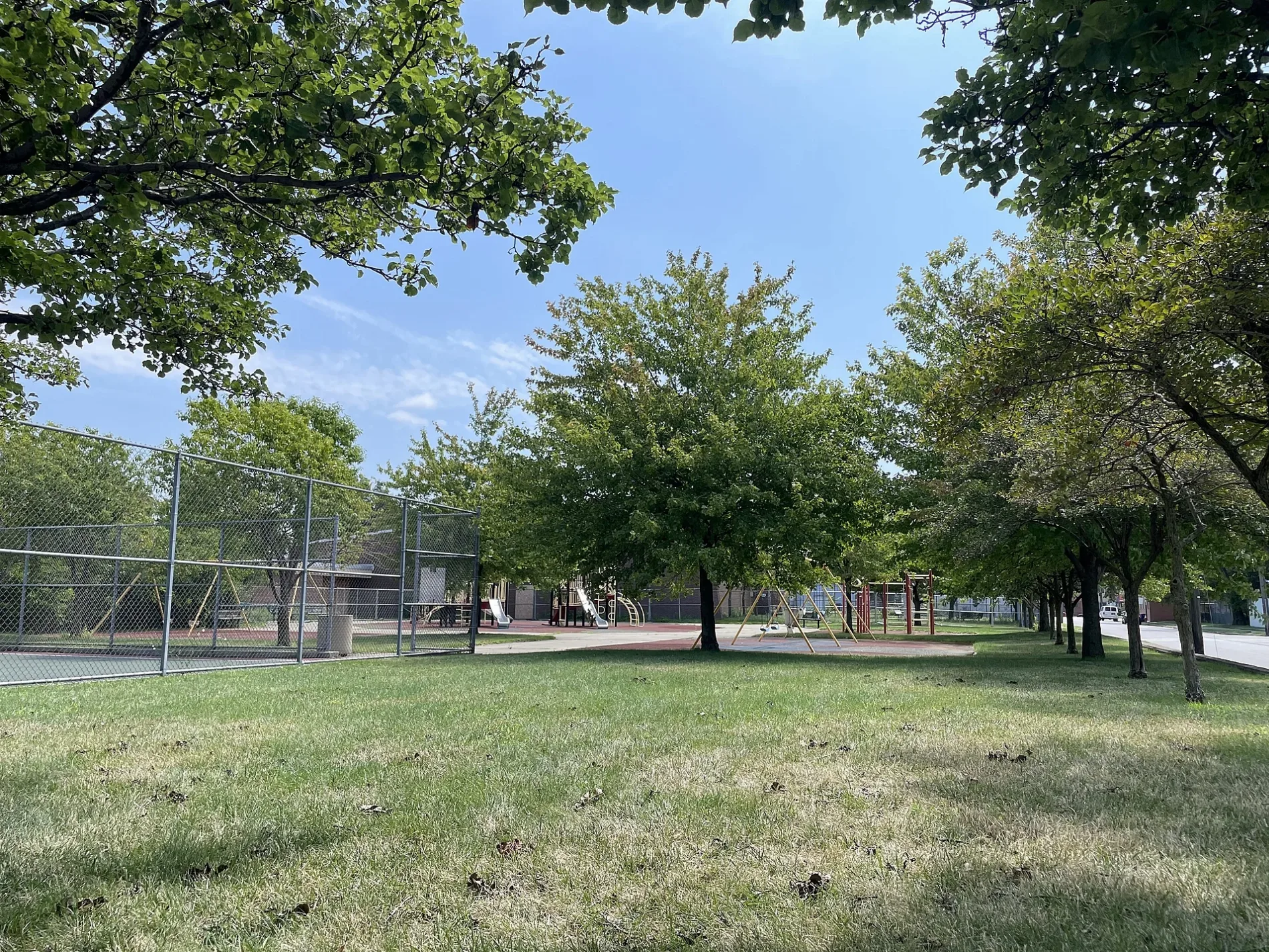
- Leisure
- park
Streets nearby
Sonora Avenue150 ft
East 32nd StreetMango Mango Dessert
150 ft
East 31st Street#1 Pho, Marion-Sterling School
250 ft
Buck Court300 ft
East 33rd Street400 ft
Breck CourtSterling Recreation Center
400 ft
Saint Clair Avenue NortheastPCs for People, Starbucks, Il Venetian, Bagel Boulevard, Fifth Wheel, R&D Auo, Winking Lizard, Union Club Tavern, Magic City Lounge, Uncle Ben's Pawn Shop, Granny Anne's Dry Cleaning, Dollar Bank, Rossio Pfister Fine Jewelry, Finer Things, Mitzi Jerman's, Marathon, Chuck's Place, Bo Loong, Care Alliance Health Center, The Avenue District, Cousin's Cigars, Masa & Agave, The UPS Store
500 ft
Superior Avenue EastHa Ahn, Superior Phở, Au Bon Pain, Fifth Third Bank, Lakefront Automotive Parts, Saint Nicholas Byzantine Catholic Church, Seoul House, East 21st Street, Red Space, Green Goat Cafe Bar, Public Square Post Office, Hyatt Regency Cleveland at The Arcade, 1890 Lounge, Rising Star, Lola's Bridal Boutique, Masthead Brewing Company, Citizens Bank, Mike's Pastry and Deli, The Library Shop, Ohio City Burrito, Marengo Luxury Spa, East 30th Street
0.1 mi
East 34th StreetJust Jettie's Turnables and Aprons
0.1 mi
Danford Court0.2 mi
Radio Lane0.2 mi
Erin Court0.2 mi
Hamilton AvenueThe Diner on 55th
0.2 mi
Stuber CourtPark to Shop
0.2 mi
Innerbelt0.2 mi
East 31st Place0.2 mi
Packard Court0.2 mi
East 32nd PlaceMedWish International
0.2 mi
East 36th StreetMarjee's Bar & Grill, Szechuan Gourmet, East 36th Street
0.3 mi
Perry Court0.3 mi
Lakeside Avenue EastPublic Administration Library (Cleveland Public Library), Free Stamp, 2100, Bar 32, Civic Center
0.3 mi
East 27th Streetmini-Mart
0.3 mi
Alabama Court0.3 mi
Waring Court0.3 mi
East 30th StreetGate D, Asia Plaza Pharmacy, Bayon Jewelers, Siy An Dress, Jane Addams Business Careers Center, Colony, Zion Lutheran Church
0.3 mi
East 25th Street0.3 mi
Payne AvenueLi Wah, Third District Police Station, Norton Furniture, Sunoco, Asiatown, Family Dollar, Payne Cafe, Little Kings' Lounge, Wonton Gourmet, Rising Grill BBQ, Beauty4U, Cleveland Chinses Christian Church
0.3 mi
East 24th Street0.4 mi
King Avenue0.4 mi
South Marginal RoadSouth Harbor, CP 181, CP 122, East 9th–North Coast
0.4 mi
Cleveland Memorial ShorewayWest 3rd, Aloft Cleveland Downtown, WXYZ Bar, West Bank Dock, East Bank Dock, Amtrak, Cleveland Amtrak, 27 Club
0.4 mi
Bars nearby
Galaxy KTV0.2 mi
Buildings nearby
Tyler Building0.3 mi
Lake Affect Studios0.3 mi
Churches nearby
Josaphat Arts Hall450 ft
Convenience stores nearby
Lou's Buy-Wise Market0.1 mi
Fire stations nearby
Cleveland Fire Station 50.3 mi
Industrial buildings nearby
AB Grinding Co.0.2 mi
Paint stores nearby
Sherwin-Williams0.3 mi
Pharmacies nearby
Jet Shing Tonj0.1 mi
Pubs nearby
Cro-Bar500 ft
Railways nearby
NS Cleveland Line0.3 mi
Silver Plate Industrial Track0.3 mi
Cleveland Terminal Subdivision0.4 mi
Cleveland Harbor0.4 mi
Restaurants nearby
Slyman's400 ft
Crust550 ft
Superior Restaurant0.1 mi
Retail areas nearby
Asia Plaza0.3 mi
| Located in | Cleveland |
|---|---|
| Country | United States |
 Public transit map Cleveland Legend
| Railway | |
| Bus | |
| Streetcar |
 Bicycle map Cleveland Legend
| Bike path | |
| Bike lane on roadway | |
| Cycling allowed on bus lane | |
| Bicycle street | |
| Open to cyclists | |
| Open to cyclists, good path | |
| Cycling prohibited | |
| Cobblestone |
| Long-distance bike route | (depending on scale) | |
| Long-distance bike route |
 Pedestrian map Cleveland Legend
| Path |
| Long-distance hiking trail | (depending on scale) | |
| Long-distance hiking trail | ||
| Pedestrians prohibited |