
Defiance, Ohio
Defiance is located in Defiance Township. The region is located on the bodies of water Maumee River and Auglaize River. About 17,066 people live here (as of 2020). Between 2010 and 2020, the population grew from 16,494 to 17,066. The region is at 206 meters above sea level. The area covers about 33.4 square kilometers. There are about 589 streets in Defiance. The region was founded in 1822. The ZIP codes are 43512. The dialing code is 419. Defiance is city in and the county seat of Defiance County, Ohio, United States. Among other things, Defiance has restaurants, cafés, supermarkets, schools, hair Salons and pharmacies. More information at www.cityofdefiance.com.
Defiance – Facts
| Population | 17066 |
|---|---|
| Area | 33.4 km² |
| Year built | 1822 |
| Elevation | 206 m |
| Located in | Defiance County |
| Postal code | 43512 |
| Country | United States |
| Body of water | Maumee River, Auglaize River |
| Official name | Defiance |
| Described by | Encyclopædia Britannica 11th edition |
| Website | http://www.cityofdefiance.com/ |
Data source: Wikidata (CC0)
Photos from Defiance
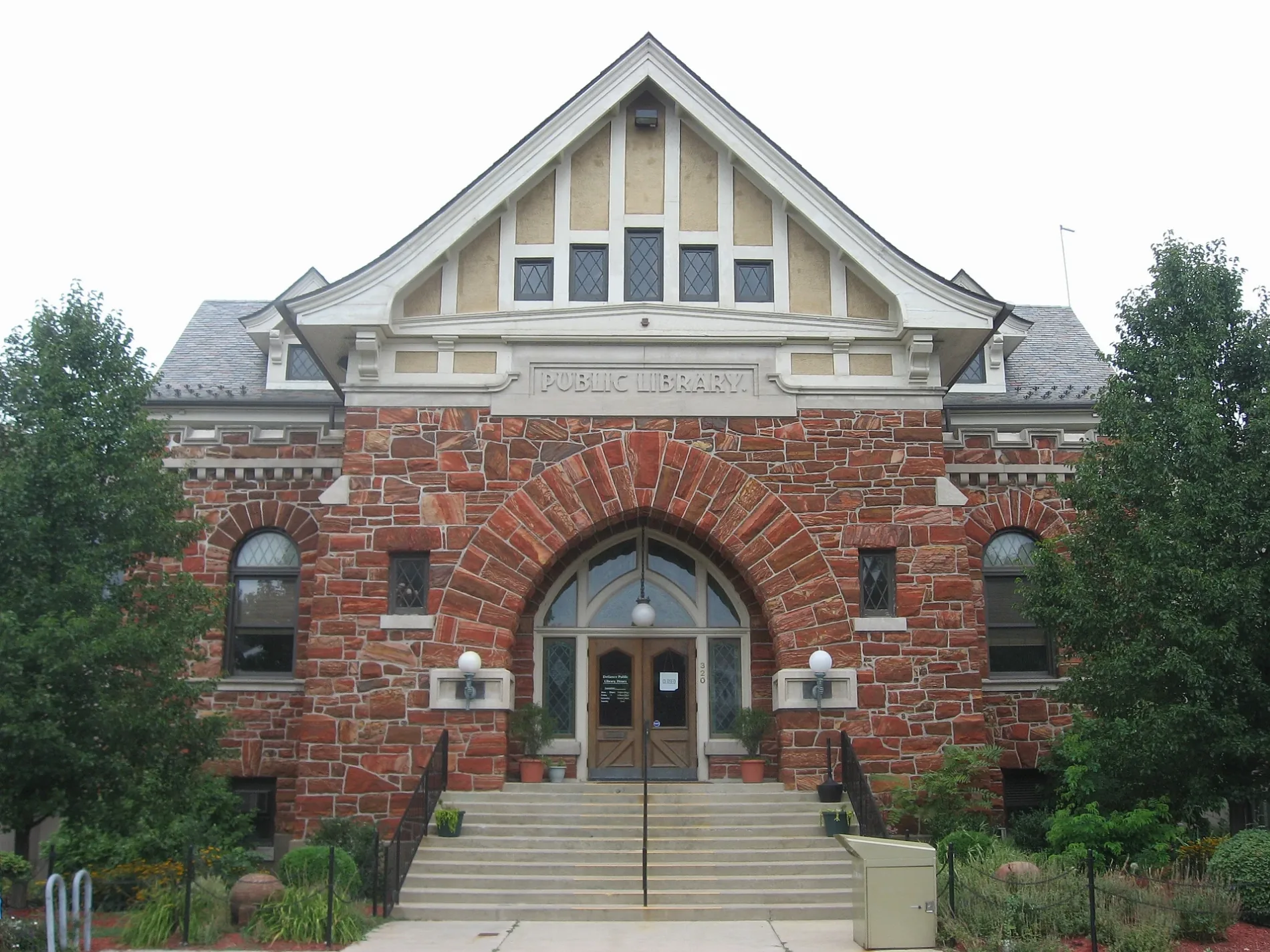
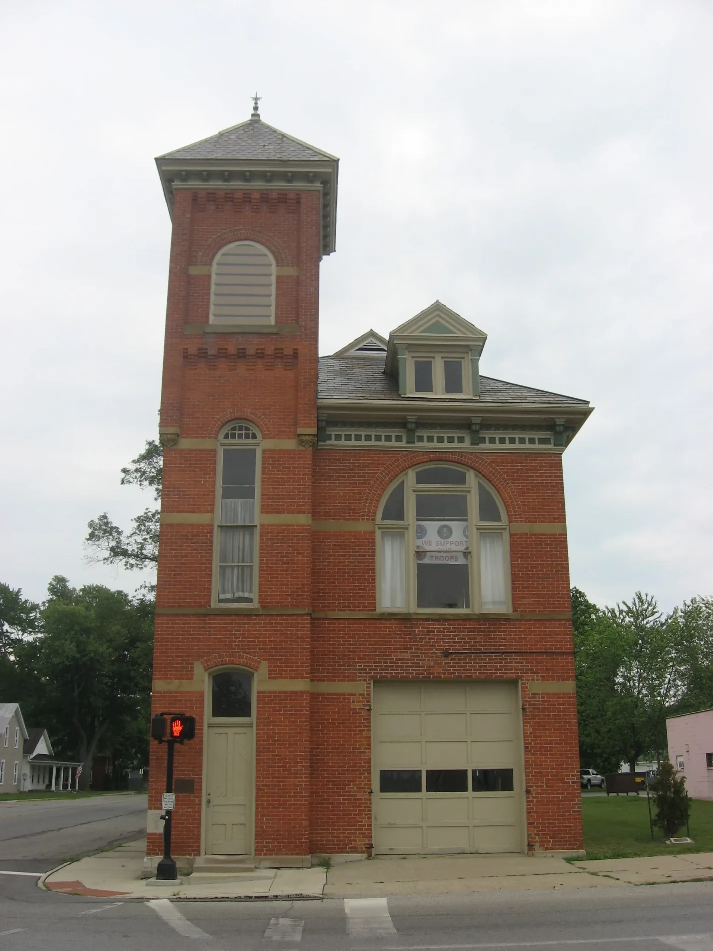
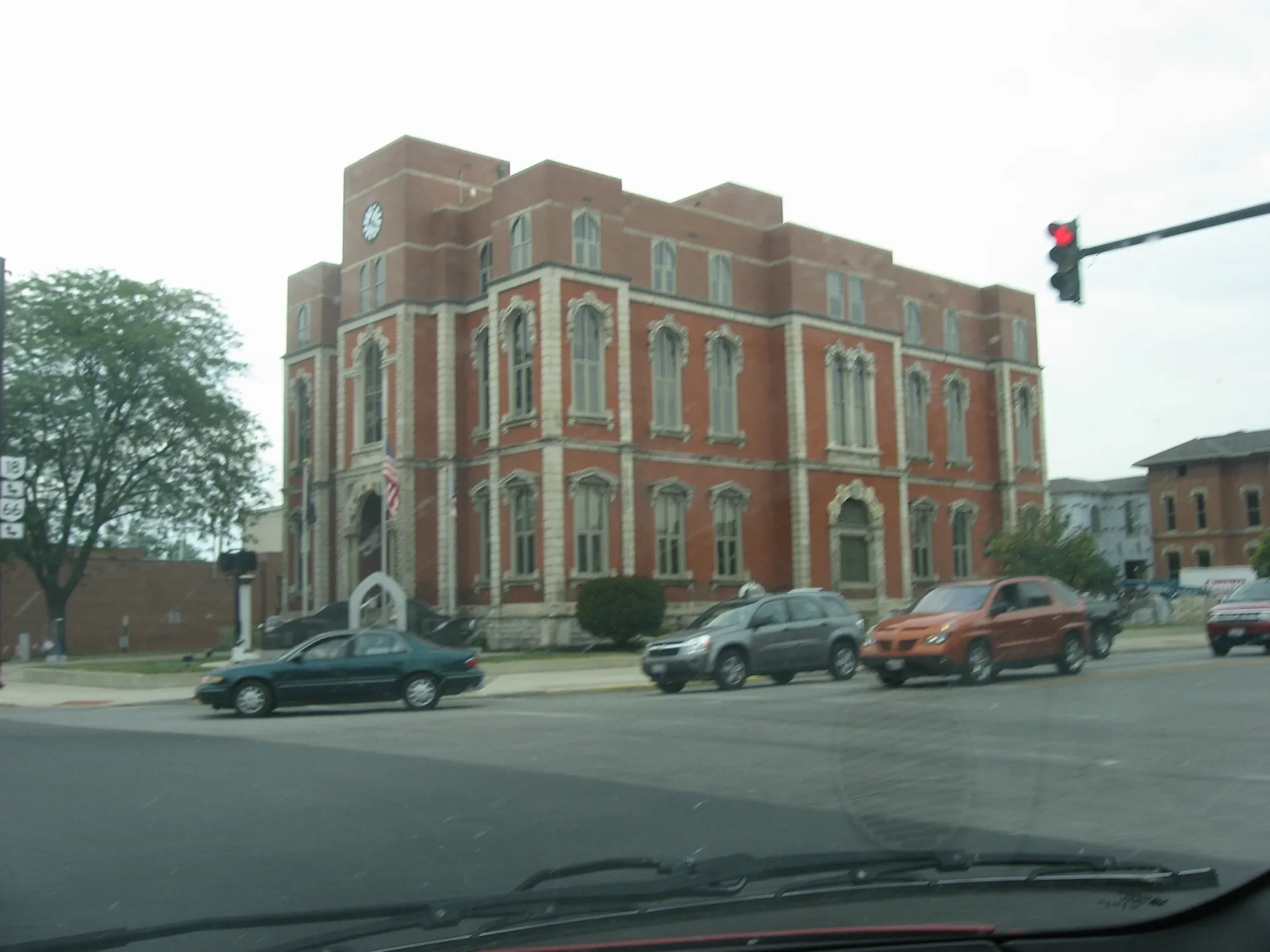
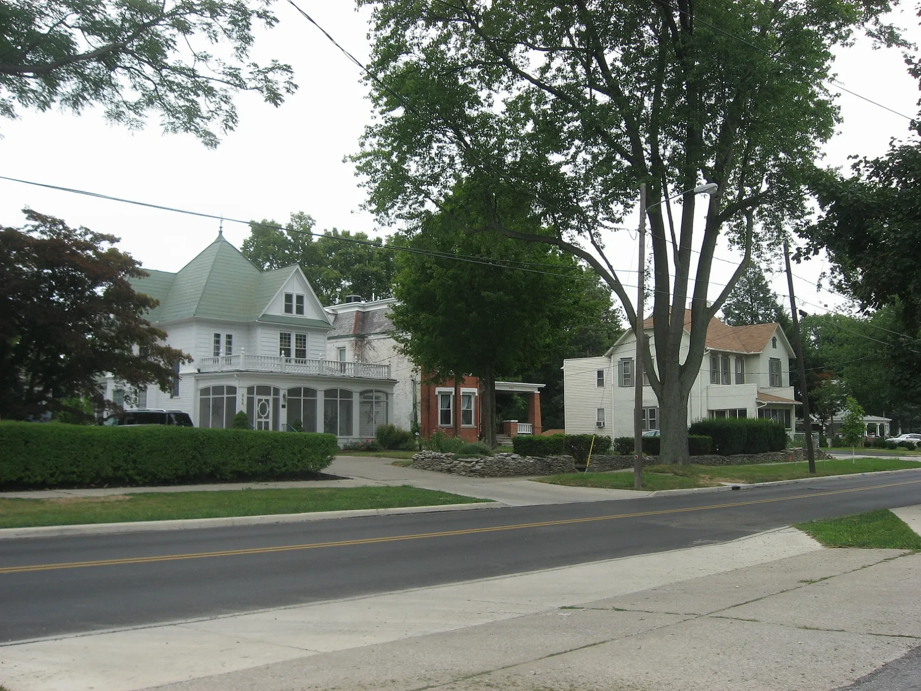
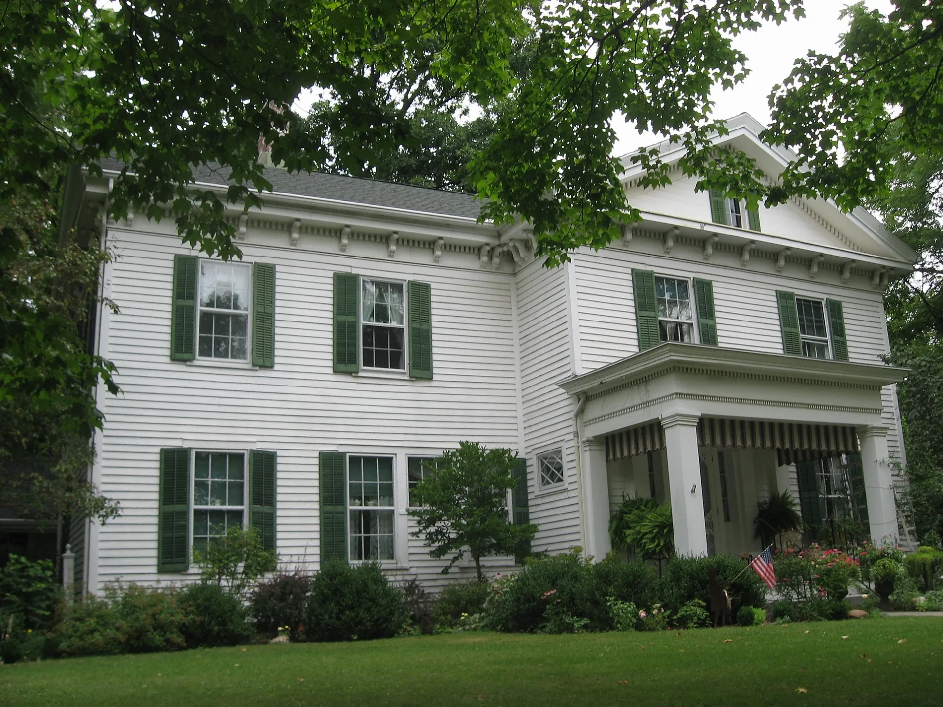
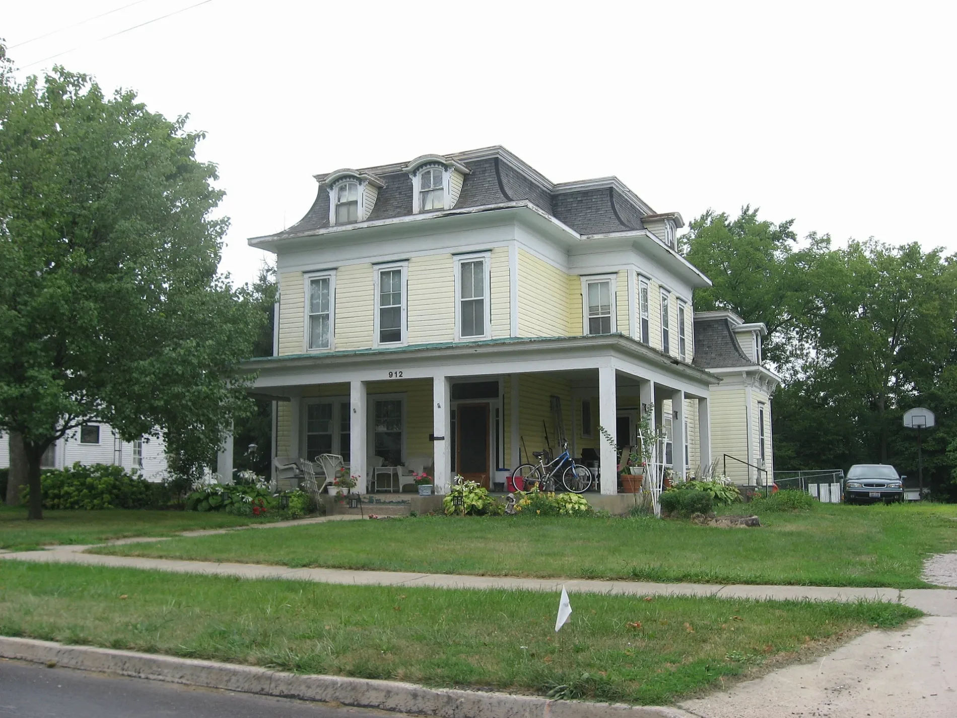
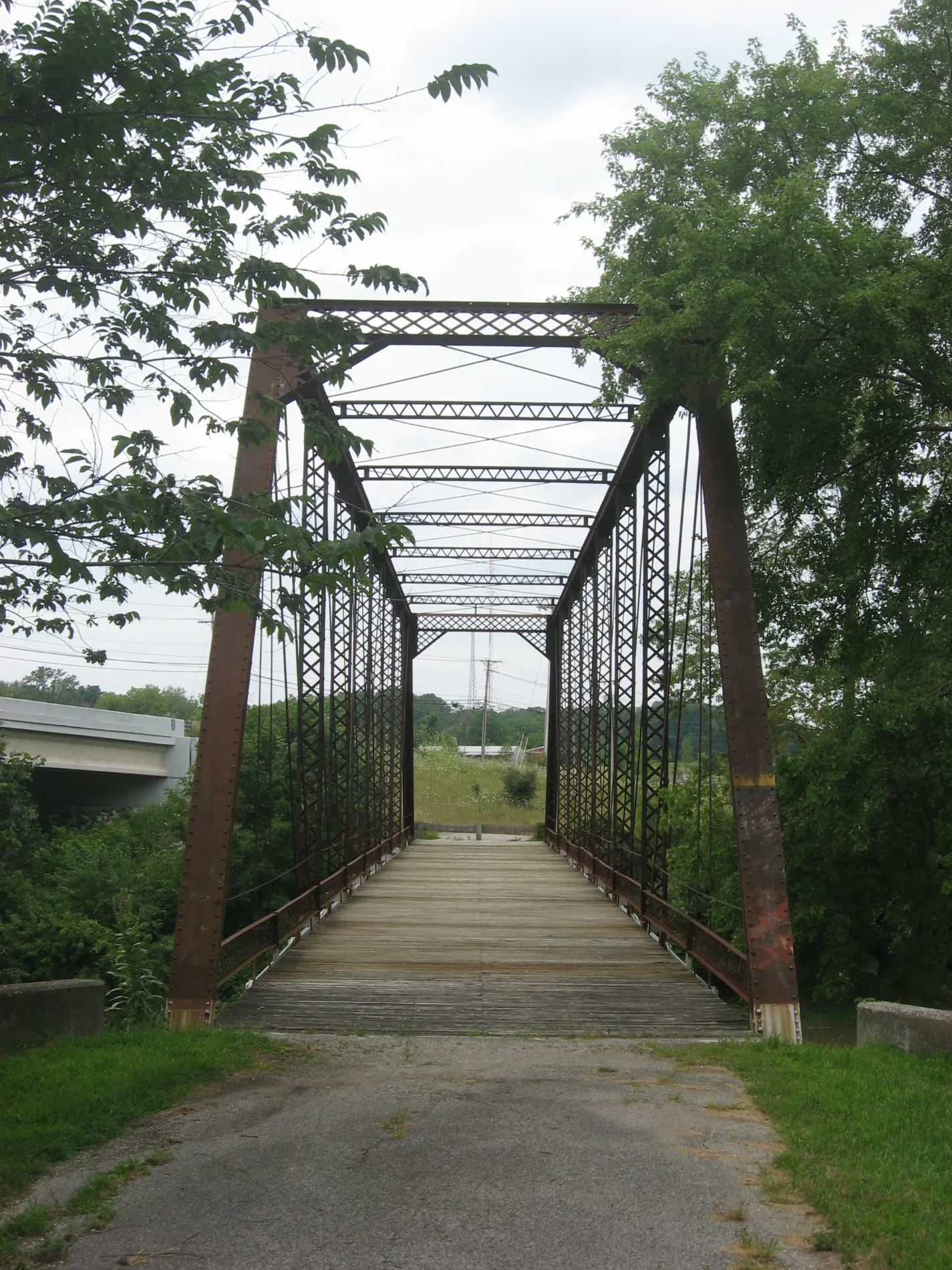
Streets in Defiance, Ohio
Streets
North Clinton Street
Speedway, Marco's Pizza, Yamato's Steakhouse, Chipotle, Meijer, Williamstown
East 2nd StreetTrinity United Methodist Church, La Jaliscience, Second Baptist Church, McDonald's, Dollar General
South Clinton StreetChurch of Christ, Anthony Wayne Elementary School, Party Mart
Hilton AvenueCold Stone Creamery, Biggby Coffee
West 2nd StreetBloomfield's, Grace Episcopal Church
Division StreetAgape Lighthouse Church, Iglesia De Dios, Holgate Avenue Historic District
Ralston AvenueApostolic United Pentecostal Church, Bethel Spanish Church
Washington AvenueDefiance Church of the Brethren, Saint Marys School
South Jefferson AvenueDefiance Church of the Nazarene, Cabin Fever Coffee
Downs StreetMarathon, Subway
Court StreetThe Common Thread by PC Workshop
Winn StreetMissionary Church of Christ
Greenler RoadFirst Baptist Church
Thurston StreetSlocum Elementary School
Carter RoadFoster Cemetery
Cleveland AvenueDollar General
5th StreetSaint Johns School
Tuendawie StreetFC Tower
Clinton StreetNAPA Auto Parts, Defiance
Arabella StreetSaint Marys Catholic Church
Bouton AvenueHeritage Baptist Church
Ayersville AvenueFirst Mennonite Church
Carter AvenueShort Stop
Cedar StreetGrove Street Church of God
Elmwood DriveFamily Christian Center
Henry StreetFirst Pilgrim Holiness Church
Kettering Country Club Drive4KD Crick Brewery
Deatrick StreetQuick Lube
Chippewa Drive
Plain Street
Arrowhead Court
Ironwood Court
Briarheath Drive
Sports Court
Neill Street
East Rosewood Avenue
Preston Street
Fairlawn Street
Hotel Drive
Inverness Drive
Collen Drive
Heatherdowns Drive
Grand Avenue
William A Diehl Boulevard
Valley Forge Drive
Riviera Road
Rulf Street
West Sherwood Drive
North Mistywood Court
Maude Street
Walnut Street
Fort Street
Main Street
Leon Street
Ravine Avenue
Squire Street
Pinehurst Drive
4th Street
Harrison Avenue
Timothy Street
Latty Street
Lane Street
Baringer Drive
Auglaize Street
Sunset Drive
Westwood Drive
Tahoe Ridge
Nicholas StreetBanks
Buildings
Commercial buildings
Department stores
Stadiums
Technical colleges
Public transit map Defiance Legend
| Railway | |
| Bus | |
| Streetcar |
Bicycle map Defiance Legend
| Bike path | |
| Bike lane on roadway | |
| Cycling allowed on bus lane | |
| Bicycle street | |
| Open to cyclists | |
| Open to cyclists, good path | |
| Cycling prohibited | |
| Cobblestone |
| Long-distance bike route | (depending on scale) | |
| Long-distance bike route |
Pedestrian map Defiance Legend
| Path |
| Long-distance hiking trail | (depending on scale) | |
| Long-distance hiking trail | ||
| Pedestrians prohibited |