
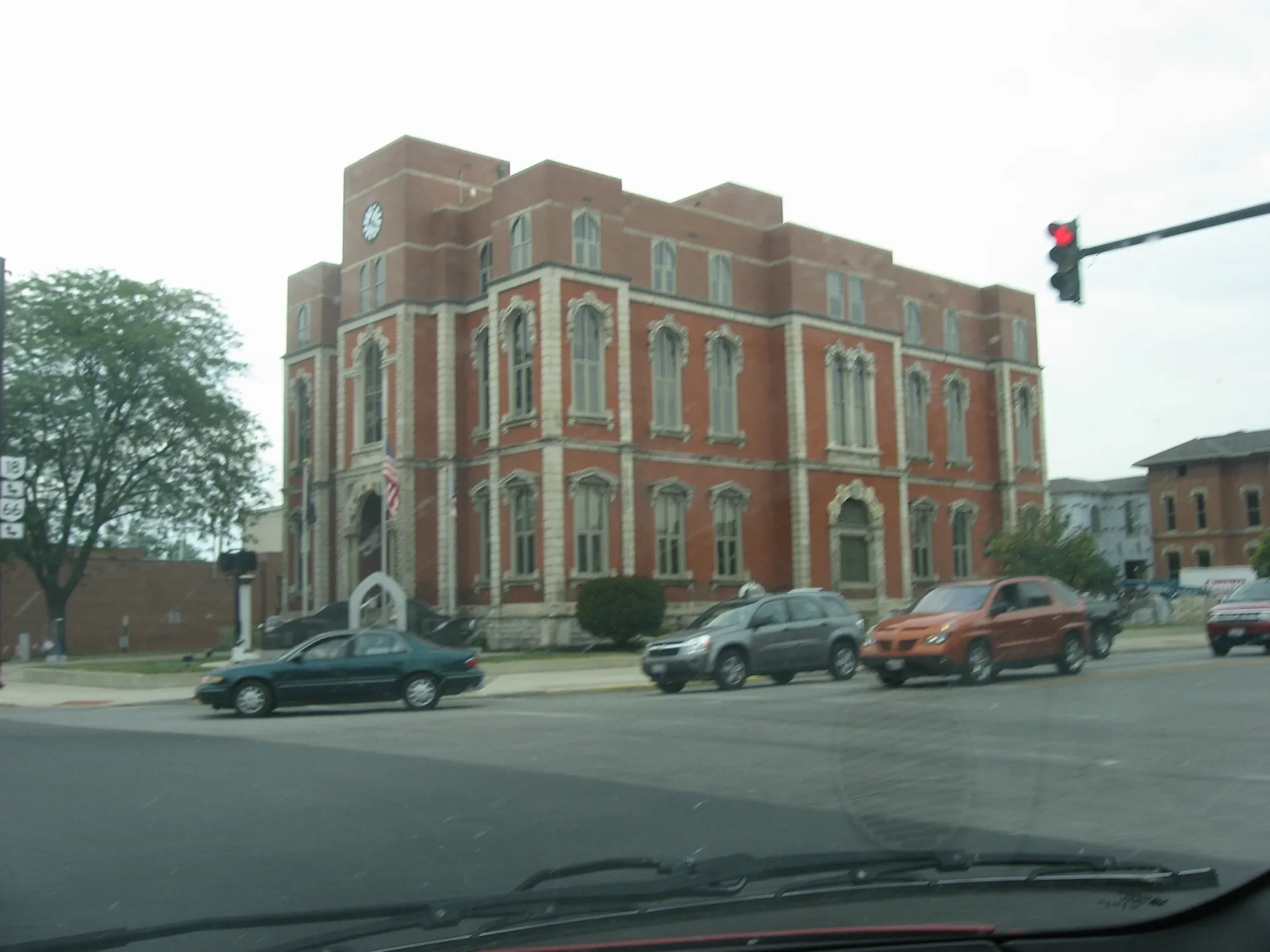
Court Street in Defiance, Ohio
Court Street in Defiance is a service road and runs as a one-way street in a southeast-northwest direction starting from Wayne Avenue and ends at Clinton Street. Court Street also exists in Montgomery County, Butler County, Madison County, Delaware County and Marion County.
- Road Type
- service road
- Route
- southeast-northwest
Image
Streets nearby
West First StreetVFW Post 3360
550 ft
Jefferson Avenue0.1 mi
Wayne Avenue0.1 mi
Fort Street0.1 mi
West 3rd Street0.1 mi
Washington AvenueDefiance Church of the Brethren, Saint Marys School
0.2 mi
4th Street0.2 mi
Jackson Avenue0.2 mi
East River Drive0.2 mi
West 1st Street0.2 mi
West River Drive0.3 mi
5th StreetSaint Johns School
0.3 mi
North Clinton StreetSpeedway, Marco's Pizza, Yamato's Steakhouse, Chipotle, Meijer, Williamstown
0.3 mi
Perry Street0.3 mi
Juliet Street0.3 mi
West 4th Street0.3 mi
Holgate Avenue0.3 mi
Clinton StreetNAPA Auto Parts, The Common Thread by PC Workshop
0.3 mi
Union Street0.3 mi
Ridge Street0.4 mi
Worthington Street0.4 mi
Van Buren Street0.4 mi
West Broadway Avenue0.4 mi
Harrison Avenue0.4 mi
Park Avenue0.4 mi
Wabash Avenue0.4 mi
Pearl Street0.4 mi
Arabella StreetSaint Marys Catholic Church
0.4 mi
Plain Street0.4 mi
West High Street0.4 mi
Division StreetAgape Lighthouse Church, Iglesia De Dios, Holgate Avenue Historic District
0.4 mi
Thurston StreetSlocum Elementary School
0.4 mi
Ruth Ann Drive0.5 mi
Gibson Street0.5 mi
Pontiac Drive0.5 mi
Courthouses nearby
Defiance County Courthouse100 ft
Libraries nearby
Defiance Public Library0.2 mi
Parks nearby
Oldfort Defiance Park0.2 mi
Places of worship nearby
Bethel Christian Assembly Church550 ft
Saint Pauls United Methodist Church0.1 mi
First Assembly of God Church0.2 mi
First Presbyterian Church0.3 mi
Saint Johns Catholic Church0.3 mi
Saint John Lutheran Church0.3 mi
First Evangelical Methodist Church0.3 mi
Saint Paul Lutheran Church0.4 mi
Post offices nearby
Defiance Post Office300 ft
Railways nearby
Napoleon Defiance and Western Railroad0.3 mi
Schools nearby
Saint Johns School0.3 mi
Public transit map Defiance Legend
| Railway | |
| Bus | |
| Streetcar |
Bicycle map Defiance Legend
| Bike path | |
| Bike lane on roadway | |
| Cycling allowed on bus lane | |
| Bicycle street | |
| Open to cyclists | |
| Open to cyclists, good path | |
| Cycling prohibited | |
| Cobblestone |
| Long-distance bike route | (depending on scale) | |
| Long-distance bike route |
Pedestrian map Defiance Legend
| Path |
| Long-distance hiking trail | (depending on scale) | |
| Long-distance hiking trail | ||
| Pedestrians prohibited |