
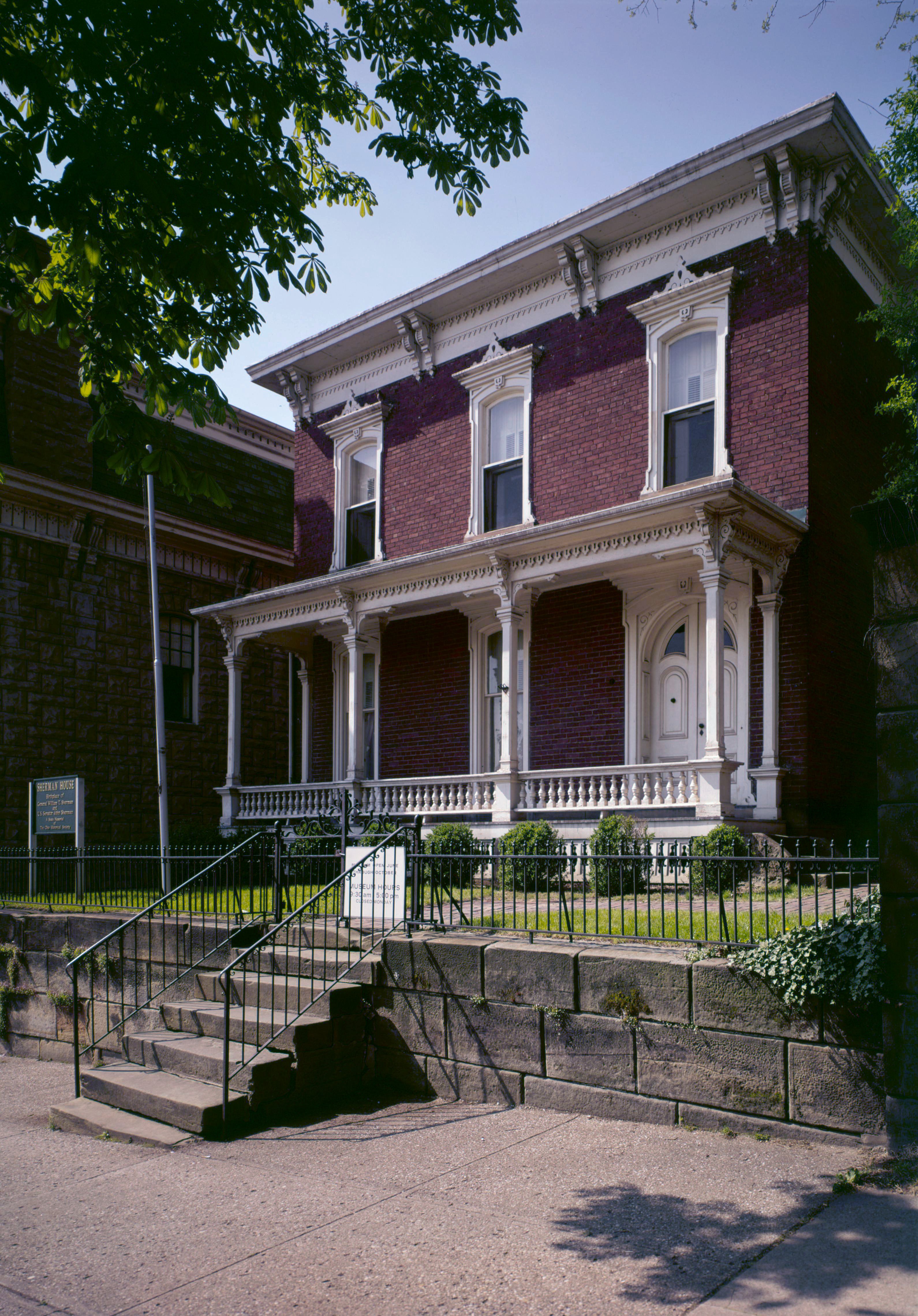
North Tennant Street in Lancaster, Ohio
North Tennant Street in Lancaster is an asphalted, lit residential street. The street has parking available (parallel parking). No sidewalks. It runs in a north-south direction starting from Furry Court and crosses King Street and ends at North.
- Road Type
- residential street
- Route
- north-south
Image
Clinics
Public bookcases
Doctor's offices
Bars
Cemeteries
Streets nearby
King Street50 ft
King North300 ft
Middle350 ft
Maple West400 ft
Vine450 ft
Furry Court500 ft
Garaghty0.2 mi
Mount Pleasant0.2 mi
Maple East0.2 mi
North Maple Street0.2 mi
East 6th Avenue0.2 mi
North Mount Pleasant Avenue0.2 mi
East Mulberry Street0.3 mi
East Wheeling StreetLancaster Historic District
0.3 mi
Isabell Court0.3 mi
Grandview Avenue0.3 mi
Neal East0.3 mi
Allen North0.3 mi
Neil Avenue0.3 mi
Catalpa Avenue0.3 mi
Edgemont Avenue0.3 mi
East Allen Street0.4 mi
Madison West0.4 mi
South Frederick Street0.4 mi
Frederick Street0.4 mi
Allen Street0.4 mi
East 5th Avenue0.4 mi
Grandview East0.4 mi
North Frederick Street0.4 mi
Madison E 10.4 mi
Mount Pleasant East0.4 mi
5th NorthCalvary Orthodox Lutheran Church
0.5 mi
East Fair Avenue0.5 mi
Madison East0.5 mi
Madison Avenue0.5 mi
Banks nearby
Peoples Bank0.2 mi
Friendly Bremen Banking Center0.3 mi
Convenience stores nearby
BP0.3 mi
Florists nearby
The Flower Pot0.4 mi
General stores nearby
Farmer's Country Store0.2 mi
Hair salons nearby
Victorian Beauty Parlour0.3 mi
Pro Kuts0.5 mi
Office buildings nearby
Stanbery Administration Building500 ft
Fairfield Center for Independence0.4 mi
Places of worship nearby
Mount Calvary Church of God0.2 mi
Maple Street Evangelical United Brethren Church0.2 mi
Restaurants nearby
Madison Bar & Grill0.4 mi
Retail buildings nearby
Fairfield Heating & Cooling0.2 mi
Single-family houses nearby
Clemons Painting0.3 mi
Public transit map Lancaster Legend
| Railway | |
| Bus | |
| Streetcar |
Bicycle map Lancaster Legend
| Bike path | |
| Bike lane on roadway | |
| Cycling allowed on bus lane | |
| Bicycle street | |
| Open to cyclists | |
| Open to cyclists, good path | |
| Cycling prohibited | |
| Cobblestone |
| Long-distance bike route | (depending on scale) | |
| Long-distance bike route |
Pedestrian map Lancaster Legend
| Path |
| Long-distance hiking trail | (depending on scale) | |
| Long-distance hiking trail | ||
| Pedestrians prohibited |