
Tennant Street South in Lancaster, Ohio
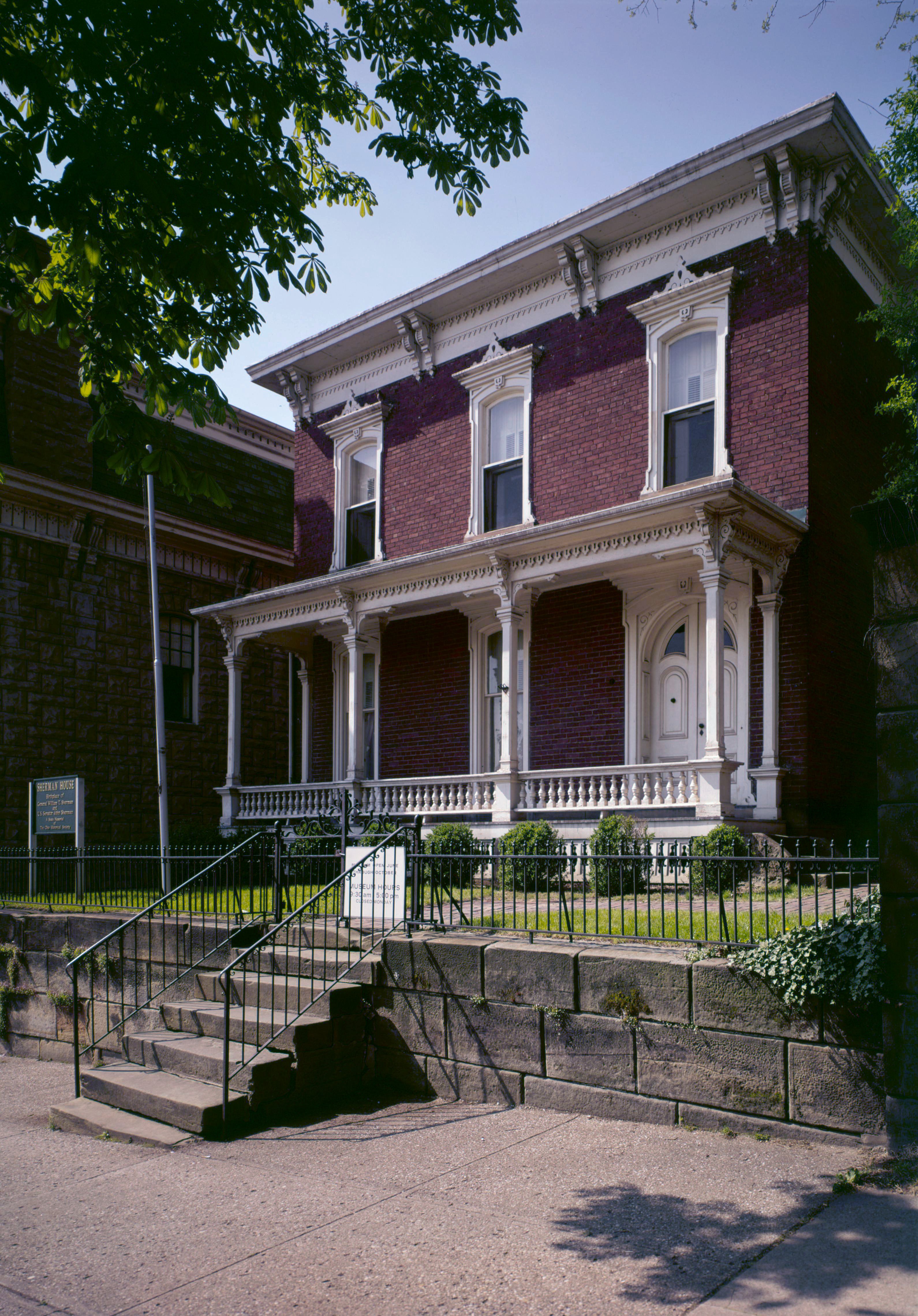
Tennant Street South in Lancaster is an asphalted, lit residential street. The street has sidewalks (Concrete) as well as parking available (parallel parking). It runs in a north-south direction starting from Tennant and crosses East Main Street, Zane, East Chestnut Street and Carpenter and ends at East Walnut Street.
- Road Type
- residential street
- Route
- north-south
Image
Clinics
Payment terminals
Doctor's offices
Bars
Cemeteries
Streets nearby
Tennant0.1 mi
South Pearl Avenue0.1 mi
Pearl Avenue0.1 mi
North Pearl Avenue0.2 mi
BankSquare 13 Historic District, Main Street Lancaster
0.2 mi
Garaghty0.2 mi
South High Street0.2 mi
East Walnut Street0.2 mi
North High Street0.2 mi
Chestnut0.3 mi
ZaneThe Space Between Us
0.3 mi
East Main StreetPrimeMD Primary & Urgent Care, Susmitha P. Kolli, MD, Opthamologist, Family Allergy & Asthma, Lancaster
0.3 mi
CanalFairfield Healthcare Professionals Psychiatry, First Medical Urgent Care Center
0.3 mi
East Mulberry Street0.3 mi
High East0.4 mi
North0.4 mi
Shops nearby
Union Home Mortgage0.1 mi
Banks nearby
Fairfield Federal Savings and Loan0.3 mi
Beauty salons nearby
J.D. Nails Innovations0.1 mi
Buildings nearby
Masonic Temple0.2 mi
Lancaster Communications0.3 mi
Chapels nearby
Allen Chapel0.2 mi
Community centers nearby
Knights of Columbus400 ft
Courthouses nearby
Hall Of Justice0.2 mi
Fairfield County Courthouse0.2 mi
Fire stations nearby
Fire Station Number 10.1 mi
Houses nearby
Precision Eye Care0.1 mi
Rising House0.3 mi
Massage therapy clinics nearby
Blue Valley Massage0.3 mi
Museums nearby
Decorative Arts Center of Ohio0.3 mi
Sherman House State Memorial0.3 mi
Office buildings nearby
Millisor Law Office550 ft
Rise Realty0.1 mi
Frear Insurance0.1 mi
Dawn McCoy, L.L.S.W.0.1 mi
Saint Mary Parish Offices0.2 mi
Fairfield County Auditor0.2 mi
Fairfield County Foundation0.2 mi
Stanbery Administration Building0.3 mi
Parks nearby
Firehouse Park0.1 mi
Places of worship nearby
Basilica of St. Mary of the Assumption0.2 mi
First United Methodist Church0.3 mi
Emanuel Lutheran Church0.3 mi
Saint Johns Episcopal Church0.4 mi
Religious areas nearby
Saint Mary of the Assumption0.1 mi
Restaurants nearby
Maria's Mexican Restaurant0.3 mi
Single-family houses nearby
Fairfield Visitation Center0.1 mi
Coen Wexler and Weitz0.1 mi
Andrew H. Stevenson, Attorney at Law0.2 mi
Public transit map Lancaster Legend
| Railway | |
| Bus | |
| Streetcar |
Bicycle map Lancaster Legend
| Bike path | |
| Bike lane on roadway | |
| Cycling allowed on bus lane | |
| Bicycle street | |
| Open to cyclists | |
| Open to cyclists, good path | |
| Cycling prohibited | |
| Cobblestone |
| Long-distance bike route | (depending on scale) | |
| Long-distance bike route |
Pedestrian map Lancaster Legend
| Path |
| Long-distance hiking trail | (depending on scale) | |
| Long-distance hiking trail | ||
| Pedestrians prohibited |