
Image
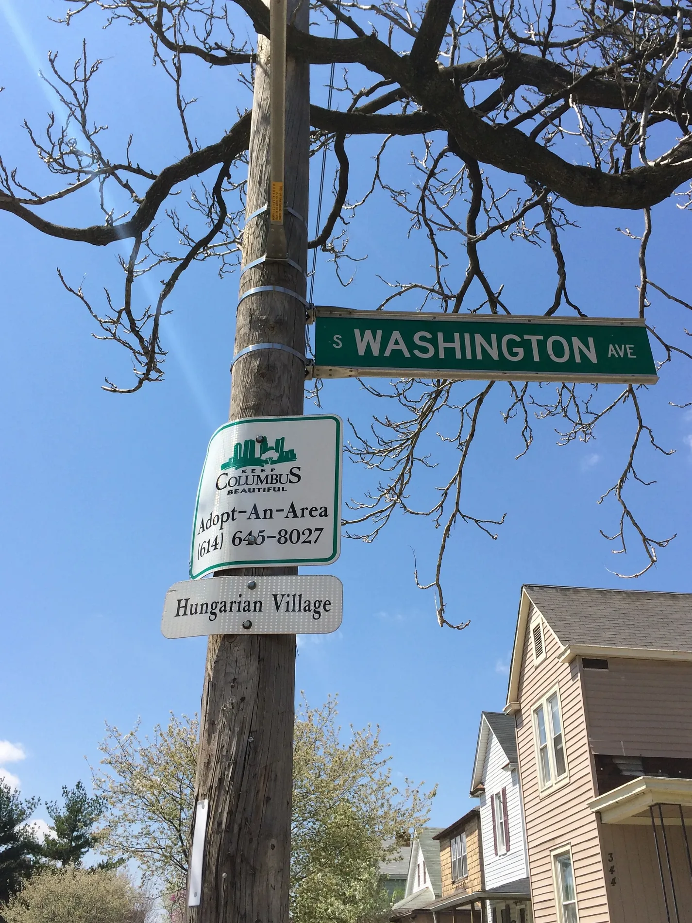
Bars
Fast food restaurants
Laundries
Supermarkets
Pawn shops
Cell phone stores
Bus stops
Convenience stores
Cafes
Places of worship
Schools
Beverage stores
Hair salons
Restaurants
Mailboxes
Tobacco shops
Bike rentals
Social facilities
Gas stations
Streets nearby
West Morrill Avenue200 ft
South Wall StreetOSU Urban Arts Space
300 ft
West Hinman Avenue350 ft
East Morrill Avenue400 ft
South Pearl StreetHuntington Bank, Salon644, Straight Up Smoke Shop & Food Mart, Wash Ur Clothes
400 ft
West Welch Avenue0.1 mi
East Welch AvenueAusten & Company
0.1 mi
East Markison Avenue0.2 mi
West Markison Avenue0.2 mi
West Innis Avenue0.2 mi
South Third StreetStarbucks, The Bookloft, Stauf's Coffee, CoGo 3rd St and Sycamore St, Kittie's Cakes, Niko's Barber Shop, S 3rd St & E Main St, Columbus Walk In Bath Solutions, S 3rd St & E Broad St, Statehouse Museum Shop, S 3rd St & E Town St
0.2 mi
Bucher Street0.2 mi
Southwood AvenueUSPS, The Pit BBQ
0.2 mi
South High StreetInner Beauty Hair Design Studio, Ambrose & Eve, Antiques on High, S High St & E Mound St, Franklin County Law Library, Franklin County Municipal Court, CoGo Dorrian Commons - Mound St, S High St & E Broad St, Capitol Theatre - Riffe Center, S High St & W State St, William McKinley Statue, Ohio Arts Council's Riffe Gallery, Huntington Bank, First Financial Bank, CVS Pharmacy, S High St & E State St, Heartland Bank ATM, Spaghetti Warehouse, S High St & W Town St, Dan's Drive In, The Westin Great Southern Columbus, S High St & W Main St, Boscoe's, Speedway, S High St & E Hoster St, 3650 S High St, S High St & Bob Evans, S High St & E Rich St, Turkey Hill, Franklin County Sheriff's Office, S High St & W Mound St, Evermore Studios, Aaron's
0.3 mi
East Innis Avenue0.3 mi
West Jenkins Avenue0.3 mi
South Fourth StreetKicks&Kuts, El Lugar, Connie's Beauty Salon, isla
0.3 mi
East Jenkins Avenue0.3 mi
City Park AvenueCoGo Schiller Park and Stewart Ave
0.4 mi
West Neff Avenue0.4 mi
East Neff Avenue0.4 mi
Haul Road0.4 mi
East Moler StreetJennings Java, Southbend Tavern, Kroger Pharmacy, Coinstar, Western Union
0.4 mi
West Moler Street0.5 mi
Bars nearby
Double D's Pub0.2 mi
Gales Pub0.2 mi
Eight & Sand Tavern and Refuge0.2 mi
Buildings nearby
Mansell Law0.2 mi
Clinics nearby
Lower Lights Christian Health Center400 ft
Commercial buildings nearby
Art Mkt0.4 mi
Community centers nearby
Native American Indian Center of Central Ohio0.2 mi
Convenience stores nearby
Sunoco0.1 mi
Doctor's offices nearby
Southeast Healthcare0.3 mi
Fast food restaurants nearby
Buckeye Donuts0.3 mi
Funeral homes nearby
OR Woodyard Funeral Services0.4 mi
Graumlich Funeral Home0.4 mi
Hair salons nearby
George's Stylist Salon500 ft
Liquor stores nearby
HoneyBee Drive Thru150 ft
Music stores nearby
Bluegrass Music Shop0.3 mi
Places of worship nearby
Southside Baptist Church150 ft
Emmanuel Lutheran Church0.2 mi
Hope City House of Prayer0.3 mi
Unity Temple Church of God in Christ, Inc.0.3 mi
Preschools nearby
Teachable Moments @ Little Gems0.3 mi
Pubs nearby
Cavan Irish Pub0.3 mi
Railways nearby
CSX Columbus Subdivision0.5 mi
Restaurants nearby
Geordie's250 ft
Social facilities nearby
Crossroads Recovery Services0.4 mi
Thrift stores nearby
Salvation Army Family Store0.1 mi
| Located in | Columbus |
|---|---|
| Country | United States |
 Public transit map Columbus Legend
| Railway | |
| Bus | |
| Streetcar |
 Bicycle map Columbus Legend
| Bike path | |
| Bike lane on roadway | |
| Cycling allowed on bus lane | |
| Bicycle street | |
| Open to cyclists | |
| Open to cyclists, good path | |
| Cycling prohibited | |
| Cobblestone |
| Long-distance bike route | (depending on scale) | |
| Long-distance bike route |
 Pedestrian map Columbus Legend
| Path |
| Long-distance hiking trail | (depending on scale) | |
| Long-distance hiking trail | ||
| Pedestrians prohibited |