
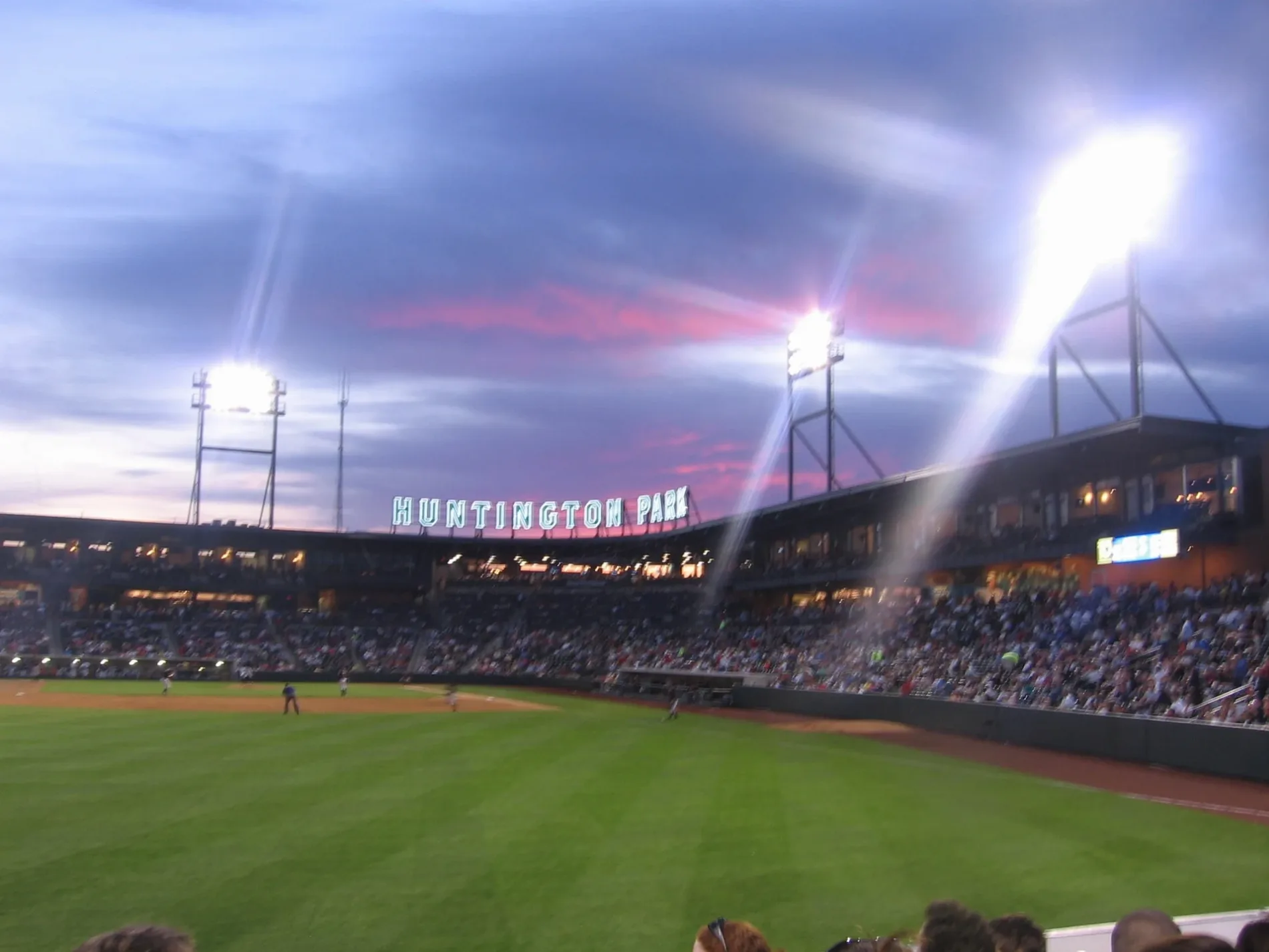
Huntington Park in Columbus, Ohio
Huntington Park in Columbus is a stadium (Baseball). Huntington Park is located near Huntington Park Lane. Huntington Park also exists in Summit County. Ⓦ.
- Leisure
- stadium
Image
Bike rentals
Tourist information centers
Opticians
Convenience stores
Cannabis dispensaries
Restaurants
Self storages
Dentist offices
Bus stops
Cafes
Fast food restaurants
Sporting goods stores
Streets nearby
Brodbelt Lane400 ft
West Nationwide BoulevardRodizio Grill, Nelson's Convenience Store, Sí Señor! Peruvian Sandwiches, W Nationwide Blvd & N Front St, Nationwide Blvd & McConnell Blvd, Ted's Montana Grill, Jimmy John's, Arena District, Wario's Beef and Pork, W Nationwide Blvd & N High St, Ohio Blue Line Official Team Store, Wario's Beef & Pork, Experience Columbus, Sunny Street Cafe, CoGo Neil Ave and Nationwide Blvd
450 ft
Huntington Park Lane0.1 mi
Neil AvenueNeil Ave & W 10th Ave, Archer House, Mack Hall, Joshua Schottenstein Pottery, Mirror Lake Eatery, Tuttle Park, Neil Ave & W 7th Ave, CoGo Neil Ave and King Ave, Neil Ave & Spruce St, Neil Ave & Vine St, Neil Ave & W 1st Ave, Neil Ave & Collins Ave, Flytown, Neil Ave & W 5th Ave, Neil Ave & 4th Ave, Neil Ave & W 3rd Ave, Neil Ave & W 2nd Ave, Neil Ave & Hubbard Ave, Neil Ave & W Goodale St, Neil Ave & Broadbelt Ln, Be Kind, Neil Ave & W 11th Ave, Neil Ave & W 8th Ave
0.1 mi
Old Track Street0.1 mi
New Public LaneArena Eye Surgeons
0.2 mi
Hanover Street0.2 mi
Cozzins Street0.2 mi
West StreetBoston’s Restaurant & Sportsbar
0.2 mi
Firestone Alley0.2 mi
John H. McConnell BoulevardNada, Tim Hortons
0.2 mi
Parks Edge Place0.2 mi
Convention Center DriveN High St & Ohio Center Way, CP 138, CoGo Kilbourne St and Vine St, Starbucks
0.2 mi
West Spring StreetHaveli Bistro, W Spring St & N Front St, W Spring St & Marconi Blvd
0.2 mi
Spruce StreetHampton Inn & Suites Columbus Downtown, Agave & Rye, Park Street Tavern, Park Street Cantina, Bar Louie, CoGo North Market, Park Street Poultry & Game, Nida's Sushi, Hubert's Polish Kitchen, Hoyo's Kitchen, North Market Spices, American Nut Company, Firdous Express
0.2 mi
Middle Alley0.2 mi
Fletcher Street0.3 mi
Kilbourne Street0.3 mi
Hocking Street0.3 mi
North Innerbelt0.3 mi
West Goodale Street582 W Goodale St
0.3 mi
Nordecke Drive0.3 mi
Dennison Avenue0.3 mi
Vine StreetMartini Modern Italian, Mikey’s Late Night Slice, Sacred Palm, Denmark, Satori Ramen Bar, Omega Artisan Bakery, Black Radish Creamery, Dos Hermanos, Brezel, Hot Chicken Takeover, The Barrel and Bottle, Jeni's Splendid Ice Creams, Flavor & Fire, Kooma Sushi, Brothers Bar & Grill, Vine St & N Park St, Vine St & N Front St, The Botanist
0.4 mi
West Poplar Avenue0.4 mi
Collins AvenueThurber Village
0.4 mi
Apartment buildings nearby
Two Twenty Vine0.2 mi
Thurber Tower0.4 mi
Goodale Landing0.4 mi
Buildings nearby
The Arch0.2 mi
Parks Edge Garage0.2 mi
Parks Edge Condominiums0.2 mi
Commercial buildings nearby
Chipotle Restaurant Support0.1 mi
Convenience stores nearby
Thurber Village Market0.4 mi
Gas stations nearby
BP0.4 mi
Nightclubs nearby
Dahlia Nightclub0.2 mi
Parking lots nearby
McConnell Garage500 ft
Nationwide Arena Garage0.2 mi
Parks nearby
Daniel Burnham Square0.1 mi
Places of worship nearby
Debremedhanit Medhane-Alem Ethiopian Orthodox Tewahdo Church0.3 mi
Railways nearby
Columbus Line Subdivision500 ft
Yard A Middle Track0.3 mi
CSX Columbus Subdivision0.3 mi
Mud Track0.4 mi
Residential areas nearby
Flats on Vine0.2 mi
The Tivoli Apartments0.4 mi
Residential buildings nearby
The Condominiums at North Bank Park0.2 mi
Theaters nearby
The Basement150 ft
EXPRESS LIVE!150 ft
| Year built | 2009 |
|---|---|
| Official opening | 2009 |
| Located in | Ohio |
| Country | United States |
| Website | http://huntingtonparkcolumbus.com/ |
 Public transit map Columbus Legend
| Railway | |
| Bus | |
| Streetcar |
 Bicycle map Columbus Legend
| Bike path | |
| Bike lane on roadway | |
| Cycling allowed on bus lane | |
| Bicycle street | |
| Open to cyclists | |
| Open to cyclists, good path | |
| Cycling prohibited | |
| Cobblestone |
| Long-distance bike route | (depending on scale) | |
| Long-distance bike route |
 Pedestrian map Columbus Legend
| Path |
| Long-distance hiking trail | (depending on scale) | |
| Long-distance hiking trail | ||
| Pedestrians prohibited |