
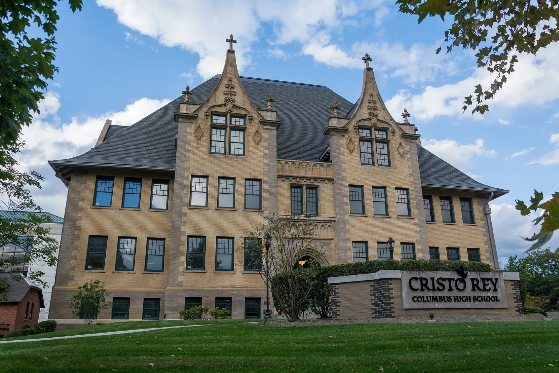
Ohio School for the Deaf in Columbus, Ohio
Ohio School for the Deaf in Columbus is a school building, Morse Road 500 (43214). Ohio School for the Deaf is also known as Ohio State School for the Deaf. Ⓦ.
- House Number
- 500
- Postal Code
- 43214
- Street
- Morse Road
- Building Type
- school building
- Website
- http://www.ohioschoolforthedeaf.org/
Image
Restaurants
Auto parts stores
Public bookcases
Music stores
ATMs
Schools
Bars
Hotels
Pet stores
Produce markets
Candy stores
Places of worship
Auto repair shops
Car washes
Dentist offices
Doctor's offices
Variety stores
Streets nearby
Indianola AvenueGlen Echo Bird Tunnel, Clintonville Auto Detailing, Coffee Underground, Saint Anns Church, Indian Springs Church of Christ, Ohio Family Church, Beechwold Diner, Buckeye Asian, Rafters Beer Pub, Clintonville Natural Foods, Savor Growl, Yeah, Me Too, Wildflower Cafe, Dante's Pizza, Moody Street Trains, Indianola and Torrence, Torrence & Indianola, The Deco
550 ft
Sinclair RoadAmericas Best Value Inn - Columbus / North, The Connection, Alrosa Villa
0.2 mi
Freeway Drive South0.3 mi
Old Indianola RoadSelf-Serve Car Wash
0.3 mi
Buckeye Grove0.4 mi
Center Woods Drive0.4 mi
Mehrman Way0.4 mi
Glen Burn Place0.4 mi
Colerain Avenue0.4 mi
Morse RoadTree of Life Christian School, Tee Jaye's Arrow, CVS Pharmacy, Chick-fil-A, Marathon, Morse Rd & Tamarack Blvd, Chipotle, Wingstop, Jimmy John's, Ginza Go, Cricket Wireless, Precious Smiles, Mr. Hero, Boost Mobile, Namaste Indo-Nepali Cuisine, Morse Rd & Malin St, Speedway, Church of the Guiding Light, Guiding Light Spiritualist Church, 35, Panera Bread, Morse Rd & Cleveland Ave, 2560 Morse Rd, 2700 Morse Rd, Morse Rd & Goldengate Sq N, Circle K, Morse Rd & Westerville Rd, Morse Rd & Chesford Rd, 2975 Morse Rd, Duchess, Shell, Rooster's
0.4 mi
Glen Burn Avenue0.4 mi
Fairway Drive0.4 mi
Indian Summer Drive0.4 mi
Hickory Grove0.4 mi
Beech Hill Avenue0.4 mi
East Royal Forest BoulevardVerizon
0.4 mi
Evanswood Drive0.4 mi
East Kanawha Avenue0.4 mi
Hitesman Way0.4 mi
Glenmawr AvenueGlenmawr
0.4 mi
Sharon Avenue0.4 mi
Rush Avenue0.5 mi
Summit StreetStudio 614, CoGo Summit St and Hudson St, Tompkins Street, Wings & More, Capital City Scooters, Rumba Cafe, Used Kids Records, Layla's Smoke Shop, Psychobilly Barbershop, Honey Cup Coffee Company, Rendezvous, Zhu Shi Fu Barbecue, Summit St & E 3rd Ave, Summit St & E 5th Ave, Summit St & Warren St, Summit St & E 2nd Ave, Chittenden Avenue (Southbound), 15th Avenue (Southbound), Indianola Terrace, Lane Avenue (Southbound), Alden Avenue (Southbound), Maynard Avenue (Southbound), Buckeye One-Stop Shop, Cafe Bourbon Street, 18th Avenue (Southbound)
0.5 mi
Woodsfield Drive0.5 mi
K of C Court0.5 mi
Elks Drive0.5 mi
Forest Avenue0.5 mi
Glenridge Place0.5 mi
East Jeffrey PlaceBeechwold
0.6 mi
Solar Drive0.6 mi
Woodglen Road0.6 mi
Wetmore RoadCat Welfare Association, East Beechwold, Baby Farms
0.6 mi
East Beaumont Road0.6 mi
East Beechwold BoulevardMozart's Bakery & Piano Cafe, In Review
0.6 mi
Auto repair shops nearby
National Tire and Battery0.2 mi
Commercial buildings nearby
Uhaul0.3 mi
Convenience stores nearby
Duchess Shoppe0.5 mi
Department stores nearby
American Freight0.4 mi
Doctor's offices nearby
Premium Medical Care0.5 mi
Gas stations nearby
Sunoco0.2 mi
Motels nearby
Motel 6 Columbus OSU0.2 mi
Extend a Suites Columbus Ohio0.5 mi
Places of worship nearby
Holy Cross Lutheran Church for the Deaf0.4 mi
Railways nearby
Columbus Line Subdivision0.3 mi
NS Sandusky District0.3 mi
Streams nearby
Bull Moose Run0.4 mi
Bill Moose Run0.4 mi
Veterinary clinics nearby
Beechwold Veterinary Hospital0.5 mi
Other nearby
Maize-Morse0.6 mi
| Year built | 1829 |
|---|---|
| Located in | Ohio |
| Country | United States |
 Public transit map Columbus Legend
| Railway | |
| Bus | |
| Streetcar |
 Bicycle map Columbus Legend
| Bike path | |
| Bike lane on roadway | |
| Cycling allowed on bus lane | |
| Bicycle street | |
| Open to cyclists | |
| Open to cyclists, good path | |
| Cycling prohibited | |
| Cobblestone |
| Long-distance bike route | (depending on scale) | |
| Long-distance bike route |
 Pedestrian map Columbus Legend
| Path |
| Long-distance hiking trail | (depending on scale) | |
| Long-distance hiking trail | ||
| Pedestrians prohibited |