
Woody Hayes Drive in Columbus, Ohio
Woody Hayes Drive in Columbus is a three-lane, asphalted local road. The street has bike paths (bike protection lane). There is no parking on some sections. It runs in an east-west direction and crosses Carmenton Avenue, Kenny Road, John H Herrick Drive, Fyffe Court, Fyffe Road, Coffey Road, Cannon Drive, Tuttle Park Place and West Woodruff Avenue. It ends in a cul-de-sac. Woody Hayes Drive is also known as Woody Hayes Dr. Nearby you can find among others 3 artworks. The nearest stops are St. John Arena (Westbound), St. John Arena (Eastbound), Midwest Campus (Eastbound), Midwest Campus (Westbound) and Blankenship Hall. The bus lines BV, CLN, CLS, MA, MC, MM, NE and WC serve this stop. Woody Hayes Drive also exists in Tuscarawas County.
- Bicycle
- yes
- Bike Lane
- shared lane
- Road Type
- local road
- Lanes
- 3
- Speed Limit
- 20 mph
- Route
- east-west
Image
Artworks
Streets nearby
Ives DriveArchitecture Library, Tech Hub, Donatos at Oxley's, Steel Connection
0.1 mi
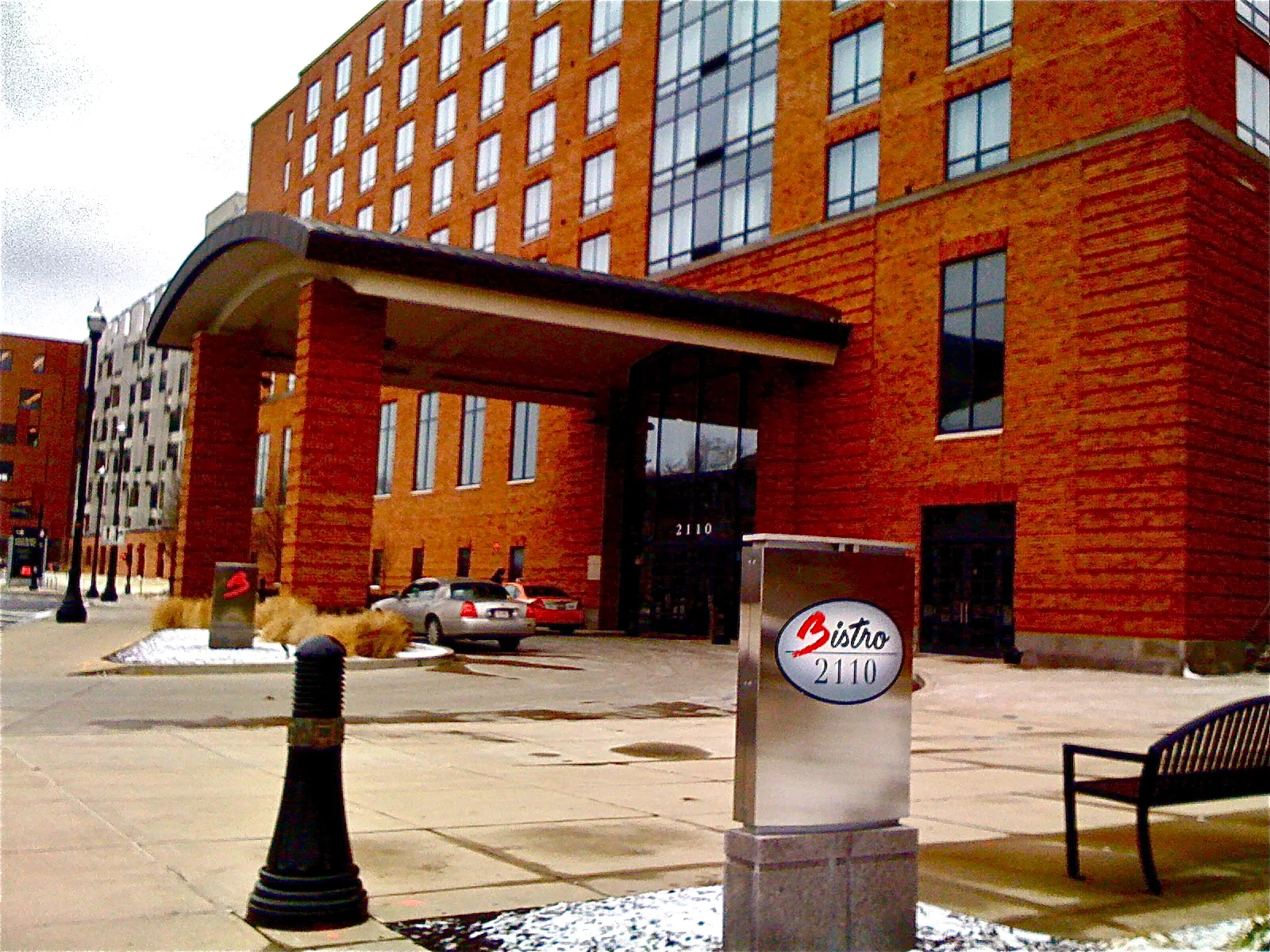
Tuttle Park PlaceBistro 2110, Steinbrenner Band Center, RPAC Plaza, Hot Dog Wally's, KSA Café, Columns
0.1 mi
West Woodruff AvenueRohr Cafe, Mason Hall, Jupiter, Blackburn House, Fontana Lab, Traditions at Scott, Curl Market, Sun, Mercury, Venus, Earth, Mars, Be Kind, Saturn, Knowlton Hall, Banvard Gallery
0.2 mi
Neil AvenueNeil Ave & W 10th Ave, Archer House, Mack Hall, Joshua Schottenstein Pottery, Mirror Lake Eatery, Tuttle Park, Neil Ave & W 7th Ave, CoGo Neil Ave and King Ave, Neil Ave & Spruce St, Neil Ave & Vine St, Neil Ave & W 1st Ave, Neil Ave & Collins Ave, Flytown, Neil Ave & W 5th Ave, Neil Ave & 4th Ave, Neil Ave & W 3rd Ave, Neil Ave & W 2nd Ave, Neil Ave & Hubbard Ave, Neil Ave & W Goodale St, Neil Ave & Broadbelt Ln, Be Kind, Neil Ave & W 11th Ave, Neil Ave & W 8th Ave
0.2 mi
Millikin Road0, 8, 9, 1, 2, 3, 5, 7, 6, 4, Student Life Student Health Services Pharmacy
0.2 mi
Annie & John Glenn AvenueUniversity Hall, Museum of Classical Archaeology, University Museum
0.3 mi
Cannon DriveTraditions at Morrill, Morrill C-Store, Mid Towers (Northbound), Mid Towers (Southbound)
0.3 mi
West 18th AvenueUnited States Post Office University Station, Terra Byte Cafe, The Campus Grind - McPherson, Modern Head, This Artwork
0.3 mi
Scarlet SkywayCelebration Drum Circle, (M)Body
0.3 mi
Neil Avenue MallBerry Cafe
0.4 mi
Buildings nearby
Daley Family Pavilion0.1 mi
Maintenance Building0.2 mi
Clinics nearby
Wilce Student Health Center0.3 mi
Gardens nearby
North Garden350 ft
South Garden0.1 mi
Knowlton Rooftop Garden0.1 mi
Bosque Garden0.2 mi
Grasslands nearby
The Huntington Plaza0.2 mi
Hotels nearby
The Blackwell0.1 mi
Parking lots nearby
Tuttle Park Place Garage0.1 mi
Northwest Garage0.2 mi
Parks nearby
Jesse Owens Plaza200 ft
Remembrance Park450 ft
Garden of Constants0.2 mi
Service buildings nearby
Generator Building0.2 mi
Central Service Building0.2 mi
Smith Electrical Substation0.2 mi
McCracken Power Plant0.3 mi
Sports centers nearby
Ohio State Ice Rink350 ft
Recreation & Physical Activity Center0.3 mi
Sports fields nearby
Safelite Field0.2 mi
Stadiums nearby
Saint John Arena450 ft
Ohio Stadium0.1 mi
University buildings nearby
French Field House500 ft
Converse Hall550 ft
Pfahl Hall0.1 mi
Hitchcock Hall0.2 mi
Enarson Classroom Building0.2 mi
Dreese Laboratories0.2 mi
Caldwell Laboratory0.2 mi
Bolz Hall0.2 mi
Journalism Building0.2 mi
Baker Systems Engineering Building0.2 mi
Cockins Hall0.3 mi
Mathematics Building0.3 mi
Physical Activity and Education Services0.3 mi
Independence Hall0.3 mi
Townshend Hall0.3 mi
Cunz Hall0.4 mi
 Public transit map Columbus Legend
| Railway | |
| Bus | |
| Streetcar |
 Bicycle map Columbus Legend
| Bike path | |
| Bike lane on roadway | |
| Cycling allowed on bus lane | |
| Bicycle street | |
| Open to cyclists | |
| Open to cyclists, good path | |
| Cycling prohibited | |
| Cobblestone |
| Long-distance bike route | (depending on scale) | |
| Long-distance bike route |
 Pedestrian map Columbus Legend
| Path |
| Long-distance hiking trail | (depending on scale) | |
| Long-distance hiking trail | ||
| Pedestrians prohibited |