
Eberly Hill in Dublin, Ohio
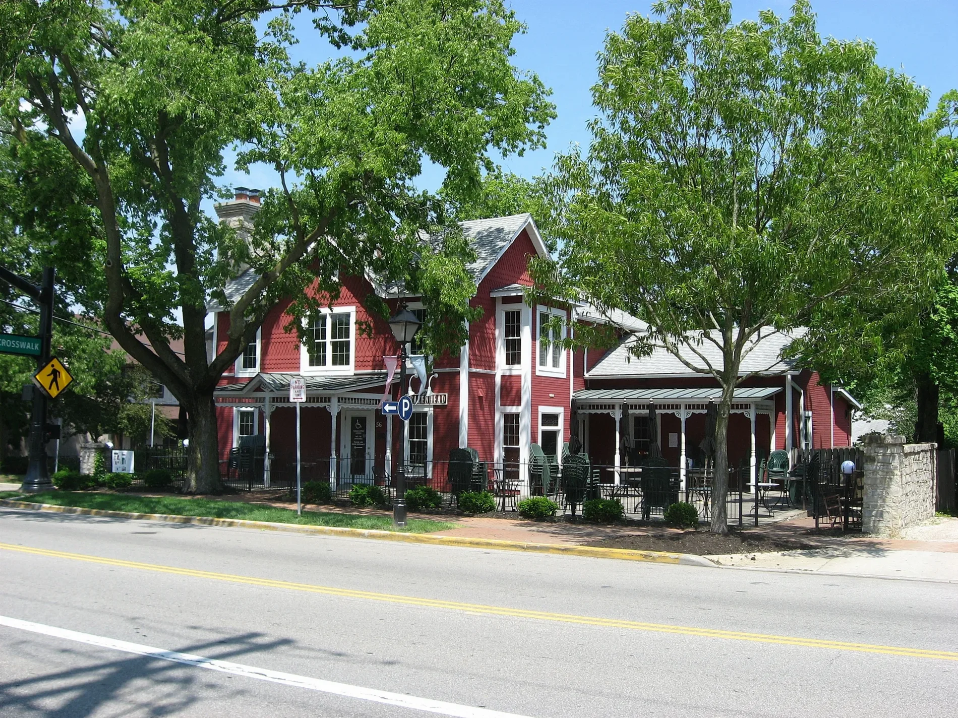
Eberly Hill in Dublin is a two-lane, asphalted service road. No sidewalks. It runs in an east-west direction starting from Mill Lane and crosses South High Street and South Blacksmith Lane and ends at South Riverview Street. Nearby there is a clothing store. The nearest bus stop is E Bridge St & N High St (about 150 m away).
- Road Type
- service road
- Speed Limit
- 15 mph
- Lanes
- 2
- Route
- east-west
Image
Clothing stores
Streets nearby
Pinneyhill Lane250 ft
Spring Hill300 ft
Mill LaneStarbucks
500 ft
South High StreetDublin Information Office, Vitality Smoothie and Juice, The Dublin Village Tavern, Dublin Barber Shoppe
500 ft
South Blacksmith Lane550 ft
John Wright Lane0.1 mi
East Bridge StreetDublin, E Bridge St & N High St, Donatos Pizza, Domino's, Bridge Street Pizza
0.1 mi
North High StreetMr. Sushi, The Pearl, The Avenue, OSCARS, Getaway Brewing
0.1 mi
Sells Alley0.1 mi
West Bridge StreetJeni's Splendid Ice Cream, Mezzo, Daily Chores, Dr. James Karpac Orthodontist, The Studio on Bridge, W Bridge St & Corbin Mill Dr, Marathon, W Bridge St & Shawan Falls Dr, 80 W Bridge St, Johnson's Real Ice Cream, 181 W Bridge St, La Chatelaine
0.1 mi
Darby StreetFox in the Snow Cafe, Harvest Pizza
0.1 mi
Wing HillHistoric Dublin, Dublin Toy Emporium, White of Dublin, The Woodhouse Day Spa, Modern Male, Tucci's
0.1 mi
North Blacksmith LaneGold Path Solar
0.1 mi
North Riverview Street0.2 mi
Riverside DriveLeatherlips Cemetery
0.2 mi
Short Street0.2 mi
Waterford Drive0.2 mi
Stonefence Lane0.2 mi
Longshore LoopRoosevelt Room
0.3 mi
Banker DrivePINS Mechanical Company, Vaso
0.3 mi
South Riverview Street0.3 mi
Mooney WayBrick House Blue
0.3 mi
Franklin Street0.3 mi
Karrer Place0.3 mi
Dale DriveShoppes River Ridge, Terra Gallery, Dublin Dale Dr Park & Ride
0.3 mi
West Dublin Granville RoadW Dublin Granville Rd & Dale Dr, W Dublin Granville Rd & Dublin Center Dr, W Dublin Granville Rd & Shamrockblvd, W Dublin Granville Rd & Sawmill, W Dublin Granville Rd & Shamrock Blvd
0.4 mi
Sharp LaneBruegger's Bagels
0.4 mi
Zachary Court0.4 mi
Dublin Road0.4 mi
Palatas Place0.4 mi
Garylane Drive0.4 mi
Martin Place0.5 mi
Birchton Court0.5 mi
Buildings nearby
Old Stone Tavern300 ft
Car dealerships nearby
Acura Columbus0.4 mi
Commercial buildings nearby
Hutchinson Tavern Building500 ft
Construction sites nearby
Bridge Park Block Y0.2 mi
Dentist's offices nearby
James M. Lapierre D.D.S. Inc.0.2 mi
Event venues nearby
The Exchange at Bridge Park0.3 mi
Fast food restaurants nearby
Wendy's0.3 mi
Fire stations nearby
Firehouse0.1 mi
Hotels nearby
AC Hotel Columbus Dublin0.3 mi
Nature reserves nearby
Dublin Kiwanis Riverway Park0.2 mi
Parks nearby
Dublin Spring Park0.1 mi
Karrer Barn Open Space0.2 mi
Places of worship nearby
Dublin Community Church0.1 mi
Pubs nearby
j. liu0.1 mi
Streams nearby
Cosgray Ditch0.3 mi
Veterinary clinics nearby
Dublin Veterinary Clinic0.1 mi
Public transit map Dublin Legend
| Railway | |
| Bus | |
| Streetcar |
Bicycle map Dublin Legend
| Bike path | |
| Bike lane on roadway | |
| Cycling allowed on bus lane | |
| Bicycle street | |
| Open to cyclists | |
| Open to cyclists, good path | |
| Cycling prohibited | |
| Cobblestone |
| Long-distance bike route | (depending on scale) | |
| Long-distance bike route |
Pedestrian map Dublin Legend
| Path |
| Long-distance hiking trail | (depending on scale) | |
| Long-distance hiking trail | ||
| Pedestrians prohibited |