
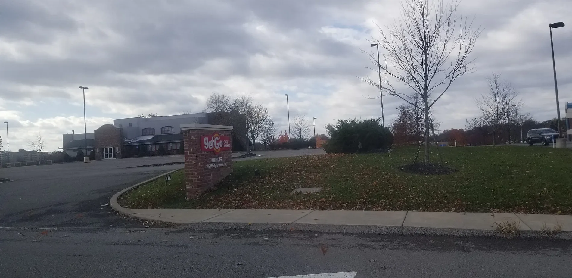
GetGo Gas Station in Westerville, Ohio
GetGo Gas Station in Westerville is a gas station (opening hours: Mo-Su 06:00-22:00), North State Street 672 (43082) 🌐. Ⓦ.
- Amenity
- gas station
- House Number
- 672
- Street
- North State Street
- Website
- https://www.getgocafe.com/
- Postal Code
- 43082
- Building Type
- building
Image
Bus stops
Dry cleaners
Cafes
Convenience stores
Restaurants
Massage therapy clinics
Travel agencies
Pharmacies
Gas stations
Fast food restaurants
Dentist offices
Paint stores
Pet stores
Supermarkets
Streets nearby
Spruce Lane0.1 mi
Ruckmoor Drive0.1 mi
Gerwig Court0.2 mi
Hoff RoadHutta & Hutta Orthodontics, United States Post Office, Jet's Pizza, Noodles & Company
0.2 mi
Polaris ParkwayPolaris Pkwy & Polaris Woods Blvd, Polaris Pkwy & N State St, Polaris Parkway Internal Medicine & Pediatrics, Central Ohio Endodontics, Meijer Express, Polaris Pkwy & Africa Rd, Polaris Pkwy & Cleveland Ave, Hot Chicken Takeover, Q2 Chinese Bistro, Agapé, Ohio Health Westerville Medical Center
0.2 mi
Office Parkway0.2 mi
Maxtown RoadArby's, Jimmy John's, Wendy's
0.2 mi
Ashton Village Drive0.2 mi
Intek Way0.3 mi
North State StreetDonato's, Subway, Sunny Street Cafe, Chase, Tim Hortons, Los Altos Mexican Bar & Grill, Koble Grill, Westerville Jewelers, Asterisk, Uptown Pharmacy, Everbowl, Amish Originals Furniture Company, Stone and Sparrow Apparel, Music & Arts, Uptown Deli and Brew, Meza Wine Shop, Whit's Frozen Custard, A Twist on Olives, A Gal Named Cinda Lou, Andy’s Frame Setting, LLC, Buckeye Terrace, Joe's Service Station, Bob Evans, N State St & Polaris Pkwy, Turkey Hill
0.3 mi
Garrett Court0.3 mi
Tressler Drive0.3 mi
Maxtown CrossingBuckeye Oral & Maxillofacial Surgery, Mindpath Health, Premier Allergy & Asthma, Moo Moo Express Car Wash, Discount Tire
0.3 mi
Emerald Crossing0.3 mi
Maxtown Crossing SouthMeijer
0.3 mi
Westdale Avenue0.3 mi
Commerce Park DrivePassport Health Westerville Travel Clinic
0.3 mi
Village Green Lane0.3 mi
Polaris Woods BoulevardSalaita Orthodontics, Wendell's Pub
0.4 mi
Village Green Drive0.4 mi
Maplebrooke Drive North0.4 mi
Cumbleside Lane0.4 mi
Progressive Way0.4 mi
Glenmore Way0.4 mi
Pinebrooke Drive0.4 mi
Pinebrooke Lane0.4 mi
Clear Water Drive0.5 mi
Parking AisleMeijers & Polaris Woods Blvd
0.5 mi
Rousham Street0.5 mi
Longbow Court0.5 mi
Dogwood Lane0.5 mi
Northgate WayConcrete Flooring Solutions of Ohio
0.5 mi
Red Bluff Lane0.5 mi
Genoa TrailUnited Dairy Farmers, McNamara Park (Trailhead)
0.5 mi
Ainsley Drive0.6 mi
Chandler Court0.7 mi
Auto repair shops nearby
Boyd's Tire and Service0.5 mi
Banks nearby
PNC Bank0.4 mi
Bike shops nearby
Trek0.4 mi
Cafes nearby
Starbucks350 ft
Car washes nearby
AutoSpa0.2 mi
Fast food restaurants nearby
McDonald's0.4 mi
Hardware stores nearby
The Home Depot0.4 mi
Restaurants nearby
IHOP0.2 mi
Ray Ray's Hog Pit0.3 mi
Streams nearby
Alum Creek Watershed0.5 mi
Supermarkets nearby
Kroger0.4 mi
Meijer0.5 mi
Thrift stores nearby
Goodwill0.5 mi
| Year built | 2003 |
|---|---|
| Owned by | Giant Eagle |
| Industry | fast food |
| Headquarters | Pittsburgh |
| Country | United States |
Public transit map Westerville Legend
| Railway | |
| Bus | |
| Streetcar |
Bicycle map Westerville Legend
| Bike path | |
| Bike lane on roadway | |
| Cycling allowed on bus lane | |
| Bicycle street | |
| Open to cyclists | |
| Open to cyclists, good path | |
| Cycling prohibited | |
| Cobblestone |
| Long-distance bike route | (depending on scale) | |
| Long-distance bike route |
Pedestrian map Westerville Legend
| Path |
| Long-distance hiking trail | (depending on scale) | |
| Long-distance hiking trail | ||
| Pedestrians prohibited |