
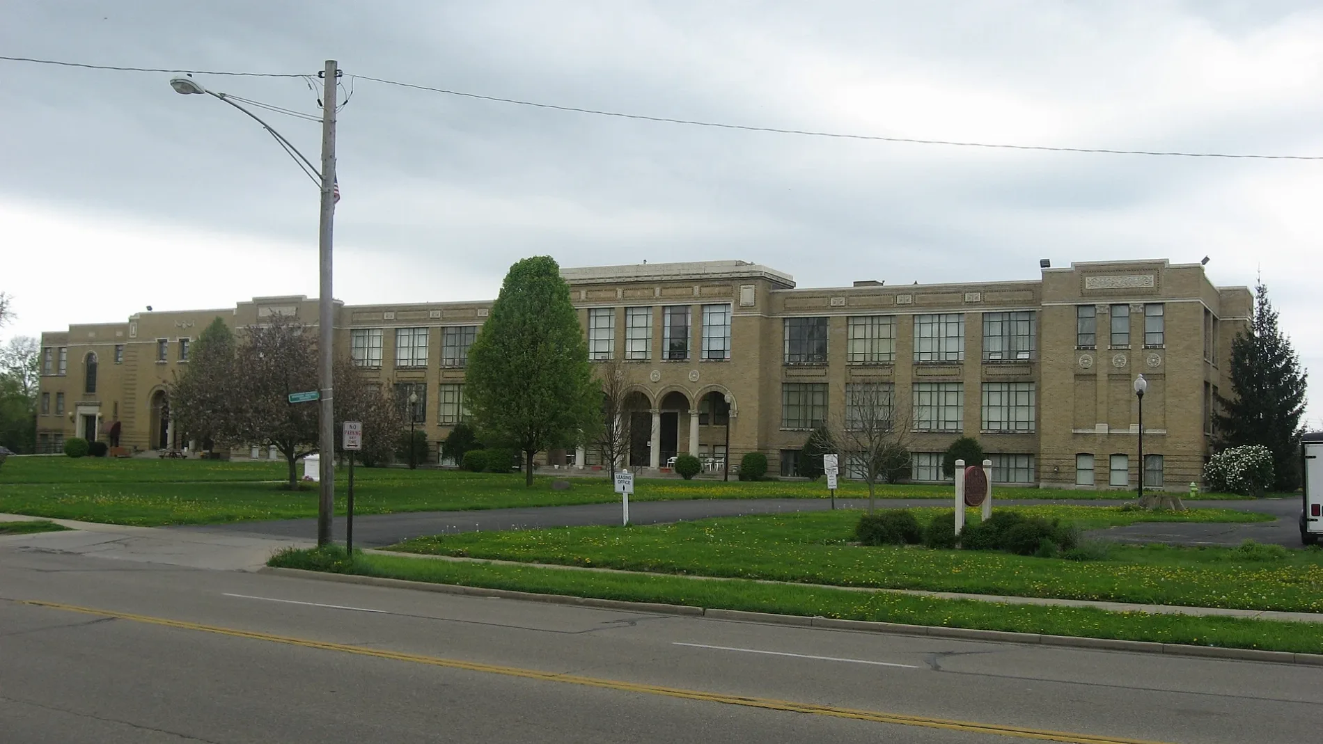
North 3rd Street in Fairborn, Ohio
North 3rd Street in Fairborn is a residential street and runs in a north-south direction starting from West Hebble Avenue and crosses Ash Drive and ends at West Xenia Drive.
- Road Type
- residential street
- Route
- north-south
Image
Collector shops
Fast food restaurants
Bakeries
Gift shops
Jewelry stores
Places of worship
Restaurants
Gun stores
Electronics stores
Theaters
Cafes
Bars
Hair salons
Antique stores
Dentist offices
Streets nearby
West Xenia Drive0.1 mi
Koogler Street0.1 mi
Pierce Drive0.1 mi
West Hebble Avenue0.1 mi
Ash Drive0.2 mi
Cedar Drive0.2 mi
West Emerson Avenue0.2 mi
Elder DriveTrinity United Church of Christ
0.2 mi
North Broad StreetFifty5 Rivers Cold Brew, McDonald's, Mary Help of Christians Catholic Church, Speedway
0.2 mi
32nd Street0.2 mi
North 2nd StreetFirst Church of the Nazarene
0.2 mi
Middle Street0.2 mi
North Wright AvenueMr. P's Lounge, NFA Arms LLC Gun Store
0.2 mi
West Whittier Avenue0.2 mi
North 1st Street0.2 mi
East Hebble Avenue0.3 mi
Xenia Drive0.3 mi
Skeel Avenue0.3 mi
Hawthorne Drive0.3 mi
Miller Avenue0.3 mi
Legion Lane0.3 mi
Littrell Road0.3 mi
Cypress Drive0.3 mi
North West Street0.3 mi
North Grand Avenue0.3 mi
South 3rd StreetTop Dog Saloon
0.3 mi
Park Lane0.3 mi
Slip Lane North0.4 mi
North Central AvenueTrinity United Church of Christ
0.4 mi
Spruce Drive0.4 mi
West Main StreetThe Secret Chamber, House of Oddities and Artwork, My Mother's Memories, The Neighborhood Nest, Chantilly Cream, Midwest Surplus Electronics, Giovanni's, Freda's Auction, Angela's Premier Event Designs, Lefty's Eats and Espresso, Midwest Martial Arts
0.4 mi
South Grand AvenueGrand Avenue Baptist Church
0.4 mi
East Main StreetCoyne's Crystals, Main Street Hair Company, Mirabella Boutique, Bourbon Bayou Bistro, M.A. Blumenschein Family Dentistry, Schwartz Jewelry Store
0.4 mi
Auto repair shops nearby
The Pitstop0.4 mi
Banks nearby
U.S. Bank0.4 mi
Buildings nearby
Barnette Apartments0.2 mi
Spark Fairborn0.3 mi
Collector shops nearby
Bookery0.4 mi
Funeral homes nearby
The Main House Events0.4 mi
Hotels nearby
Quality Inn0.3 mi
Suburban Studios0.3 mi
Military areas nearby
Fuel Depot0.3 mi
Parks nearby
Memorial Park0.2 mi
Fairfield Park0.4 mi
Party supply stores nearby
Foy's Costume Store0.4 mi
Post offices nearby
Fairborn Post Office0.1 mi
Pubs nearby
Flying Pig Tavern0.2 mi
Restaurants nearby
Tickets Pub and Eatery0.4 mi
Toy stores nearby
Time Warp Toys0.4 mi
Public transit map Fairborn Legend
| Railway | |
| Bus | |
| Streetcar |
Bicycle map Fairborn Legend
| Bike path | |
| Bike lane on roadway | |
| Cycling allowed on bus lane | |
| Bicycle street | |
| Open to cyclists | |
| Open to cyclists, good path | |
| Cycling prohibited | |
| Cobblestone |
| Long-distance bike route | (depending on scale) | |
| Long-distance bike route |
Pedestrian map Fairborn Legend
| Path |
| Long-distance hiking trail | (depending on scale) | |
| Long-distance hiking trail | ||
| Pedestrians prohibited |