
Wills Creek in Cambridge, Ohio
Wills Creek in Cambridge is a river. Ⓦ.
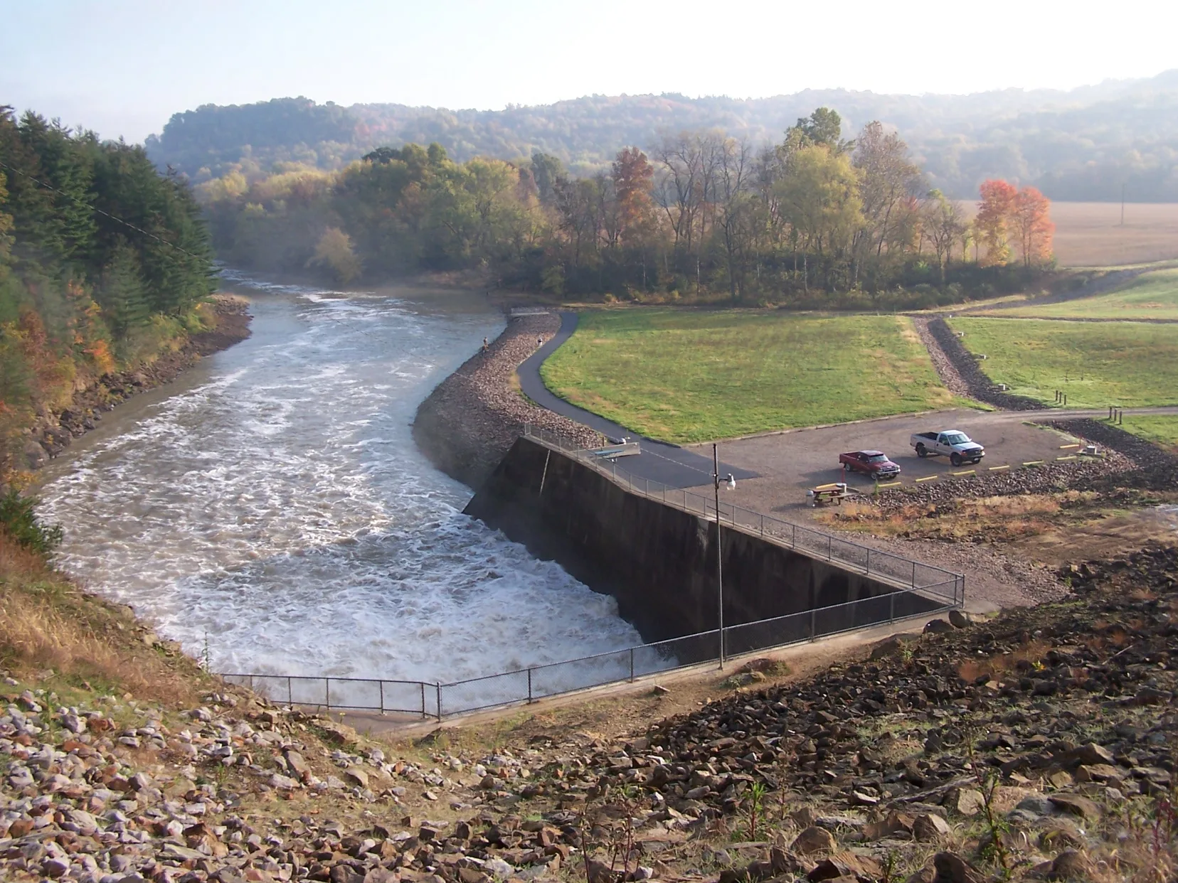
- Waterway Type
- river
Places of worship
Museums
Gift shops
Beverage stores
Car dealerships
Libraries
Restaurants
Streets nearby
Jefferson AvenueCambridge Glass Museum
0.1 mi
Morton Avenue0.2 mi
Garfield Avenue0.2 mi
Penn Avenue0.2 mi
Woodlawn Avenue0.2 mi
South 12th Street0.2 mi
Murray Avenue0.2 mi
South 11th Street0.2 mi
Carlisle Avenue0.3 mi
South 8th StreetFree Methodist Church, Church of God of Prophecy
0.3 mi
Baird Avenue0.3 mi
Chestnut Street0.3 mi
Silverclift Drive0.3 mi
Walnut Avenue0.3 mi
Grant Avenue0.3 mi
Gaston Avenue0.3 mi
Madison AvenueCambridge Alliance Church
0.3 mi
McCleary Avenue0.3 mi
Lincoln Avenue0.3 mi
South 9th Street0.3 mi
South 10th Street0.3 mi
Turner Avenue0.4 mi
Wheeling AvenuePeace Pipes
0.4 mi
Auto parts stores nearby
Carquest0.4 mi
Bakeries nearby
Kennedy's Bakery0.4 mi
Banks nearby
The Community Bank0.4 mi
Bars nearby
Downtown Arena0.4 mi
Buildings nearby
State Farm0.2 mi
Smith Glass Shop0.3 mi
Cambridge Monuments0.3 mi
Global 7 Testing0.3 mi
Century 210.4 mi
Starfire Express0.4 mi
RE/MAX0.4 mi
Cafes nearby
Ladders Coffee Bar0.4 mi
Cemeteries nearby
Old City Cemetery0.2 mi
Community centers nearby
Guernsey County Senior Citizens Center0.2 mi
Elks Lodge0.4 mi
Drugstores nearby
CVS Pharmacy0.4 mi
Fire stations nearby
Cambridge Fire Department0.3 mi
Florists nearby
Teresas Florist & Gifts, LLC0.2 mi
Funeral homes nearby
Thorn-Black Funeral Homes, Inc.0.3 mi
Museums nearby
National Museum of Cambridge Glass0.3 mi
Post offices nearby
Cambridge Post Office0.4 mi
Restaurants nearby
Francis Family Restaurant0.4 mi
School buildings nearby
Cambridge City Schools Administrative Building0.3 mi
Theaters nearby
Scottish Rite Auditorium0.4 mi
Tire dealers nearby
Tire America0.4 mi
Warehouses nearby
Mosser Glass Warehouse0.3 mi
| Length | 148.8 |
|---|---|
| Located in | Ohio, Coshocton County, Muskingum County, Guernsey County |
| Country | United States |
| Source | Buffalo Fork, Buffalo Creek |
| Mouth | Muskingum River |
| Tributary | Leatherwood Creek, Indian Camp Run, Seneca Fork Wills Creek, Salt Fork |
Public transit map Cambridge Legend
| Railway | |
| Bus | |
| Streetcar |
Bicycle map Cambridge Legend
| Bike path | |
| Bike lane on roadway | |
| Cycling allowed on bus lane | |
| Bicycle street | |
| Open to cyclists | |
| Open to cyclists, good path | |
| Cycling prohibited | |
| Cobblestone |
| Long-distance bike route | (depending on scale) | |
| Long-distance bike route |
Pedestrian map Cambridge Legend
| Path |
| Long-distance hiking trail | (depending on scale) | |
| Long-distance hiking trail | ||
| Pedestrians prohibited |