
Hamilton County
Hamilton County is located in Ohio. About 802,374 people live here. Between 2010 and 2020, the population grew from 802,374 to 830,639. The area covers about 1,069.0 square kilometers. The region is divided into 31 Municipalities and 12 Subregions. The region was founded in 1790. The name originates from Alexander Hamilton (American Founding Father and statesman) The license plate code is 31. Hamilton County is county in Ohio, United States.
Hamilton County – Facts
| Population | 830639 |
|---|---|
| Area | 1069 km² |
| Subregions | 43 |
| Named after | Alexander Hamilton |
| Year built | 1790 |
| Located in | Ohio, Northwest Territory |
| Country | United States |
| Native name | Hamilton County |
| Part of | Cincinnati metropolitan area |
| Website | https://www.hamiltoncountyohio.gov/ |
Data source: Wikidata (CC0)
Photos from Hamilton County
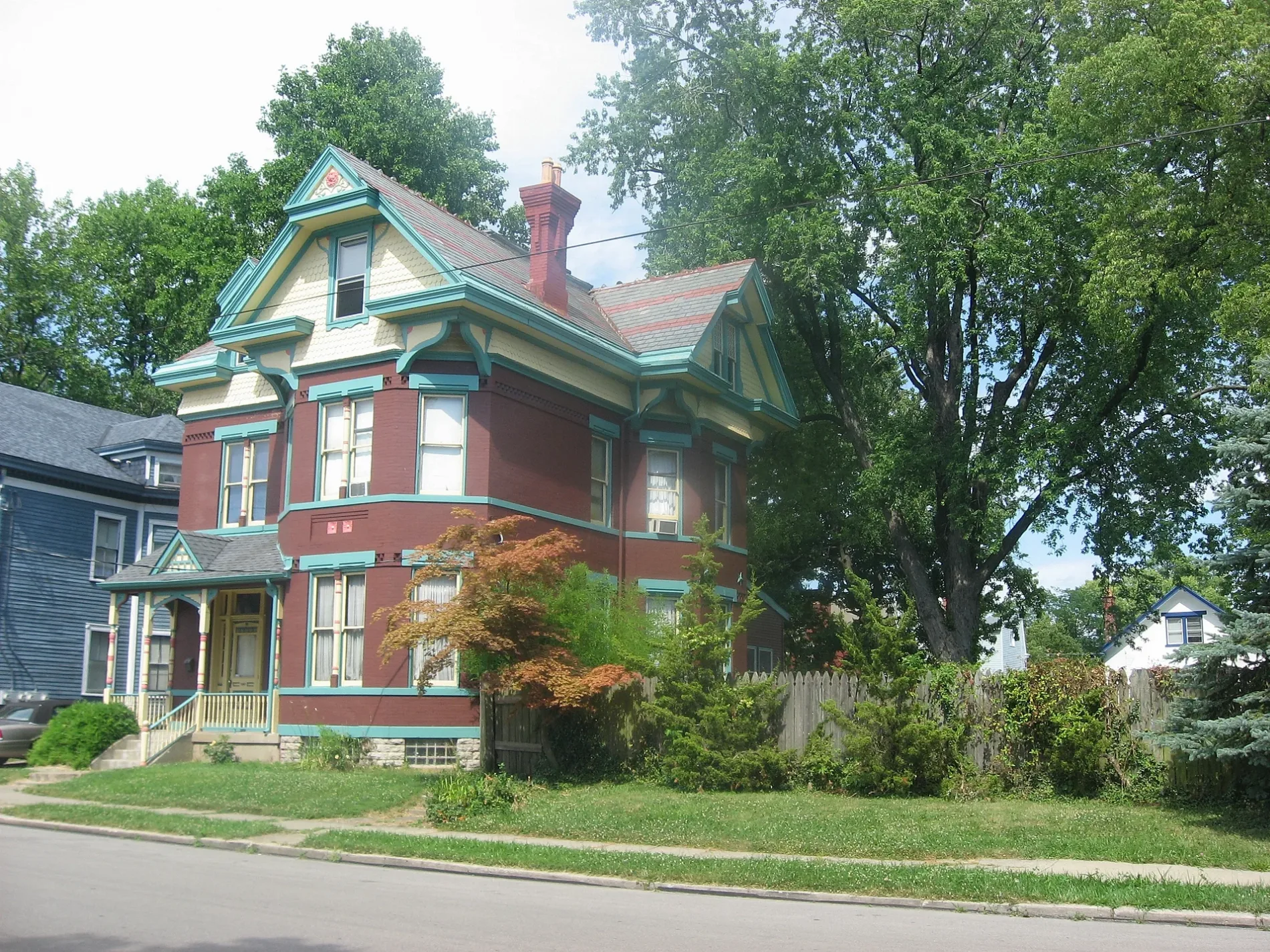
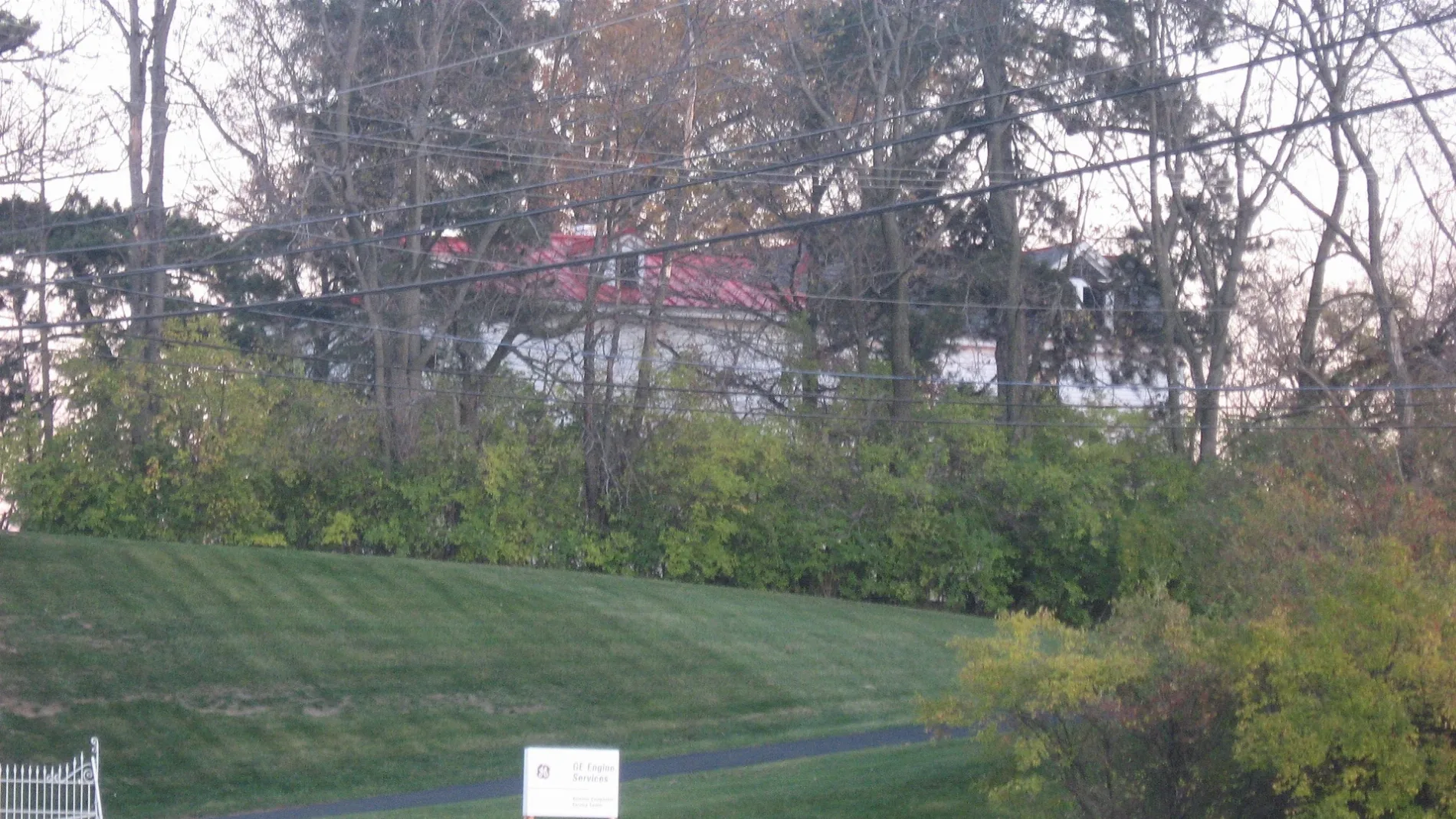

Municipalities and Counties in Hamilton County
Cincinnati
The Heights
Clifton
Clifton Heights–University Heights–Fairview
Pendleton
Camp Washington
Lower Price Hill
Corryville
Over-the-Rhine
Central Business District
West End
Queensgate
Mount Auburn
Mount Adams
East End
Walnut Hills
East Walnut Hills
Avondale
North Avondale
Evanston
Paddock Hills
Bond Hill
Roselawn
Northside
South Cumminsville
Columbia Tusculum
Hyde Park
Madisonville
Mount Washington
Linwood
California
Pleasant Ridge
Oakley
Kennedy Heights
Public transit map Hamilton County Legend
| Railway | |
| Bus | |
| Streetcar |
Bicycle map Hamilton County Legend
| Bike path | |
| Bike lane on roadway | |
| Cycling allowed on bus lane | |
| Bicycle street | |
| Open to cyclists | |
| Open to cyclists, good path | |
| Cycling prohibited | |
| Cobblestone |
| Long-distance bike route | (depending on scale) | |
| Long-distance bike route |
Pedestrian map Hamilton County Legend
| Path |
| Long-distance hiking trail | (depending on scale) | |
| Long-distance hiking trail | ||
| Pedestrians prohibited |