
West Liberty Street in Cincinnati
West Liberty Street in Cincinnati is a two-lane residential street. It runs in an east-west direction starting from Sliker Avenue and crosses Rosemont Avenue, Dewey Avenue, Gilsey Avenue, Iliff Avenue, 1st Avenue, Manss Avenue, Beech Avenue, Henkel Drive, Minion Avenue and Wyoming Avenue and ends at Atson Lane. West Liberty Street also exists in Brown County, Clark County, Marion County, Knox County and Ashtabula County.
- Road Type
- residential street
- Lanes
- 2
- Speed Limit
- 25 mph
- Route
- east-west
Image
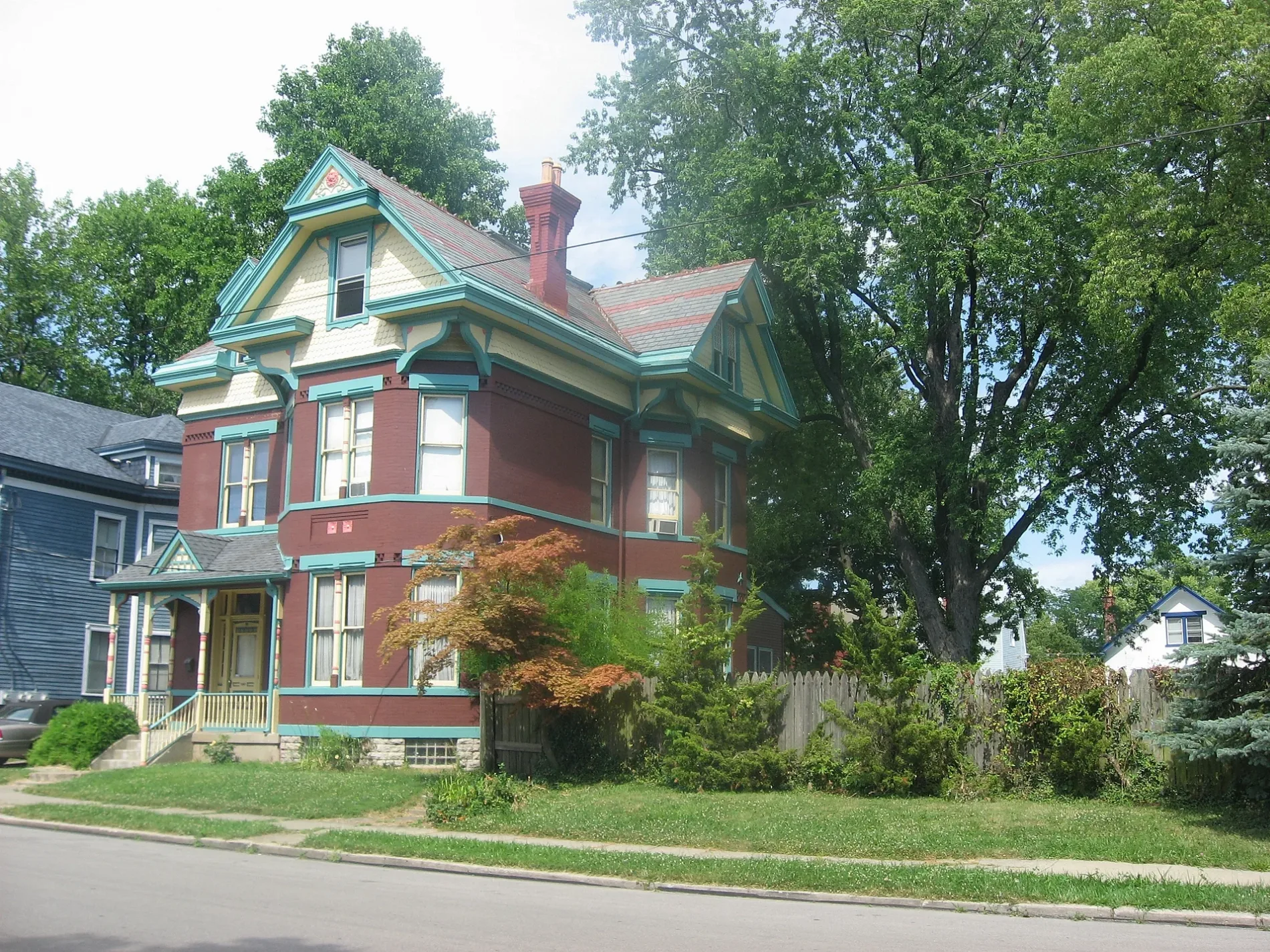
Streets nearby
Mayfield Avenue400 ft
Manss Avenue450 ft
Henkel Drive500 ft
Evers Street0.1 mi
Davoran Street0.1 mi
Minion Avenue0.1 mi
Quebec Road0.2 mi
Wyoming Avenue0.2 mi
Iliff AvenueLiberty Tabernacle
0.2 mi
Dorothy Lane0.2 mi
Atson Lane0.2 mi
Beech Avenue0.2 mi
Latham Avenue0.2 mi
Ross AvenueWarsaw Ave & Ross Ave
0.2 mi
Gellenbeck Street0.3 mi
Ridlen Avenue0.3 mi
Talbert Street0.3 mi
Gilsey Avenue0.3 mi
1st AvenueChurch of the Resurrection
0.3 mi
Kuhlman Avenue0.3 mi
Rosemont Avenue0.3 mi
Wessels Avenue0.3 mi
Vincent Avenue0.4 mi
Folsom Avenue0.4 mi
Dewey Avenue0.4 mi
Warsaw AvenueSaint Lawrence Corners, Glenway Ave & Quebec Rd, Warsaw Ave & Glenway Ave, Warsaw Ave & Ross Ave, Warsaw Ave & Carson Ave, Warsaw Ave & Enright Ave, Warsaw Ave & Kingston Pl, Warsaw Ave & Grand Ave, Warsaw Ave & Parkson Pl, Warsaw Ave & Peerless St, Warsaw Ave 2515, Warsaw Ave 2514, East Price Hill, Warsaw Ave & Woodlawn Ave, Warsaw Ave & Elberon Ave, Warsaw Ave & Hawthorne Ave, Warsaw Ave & Fairbanks Ave, Warsaw Ave & Purcell Ave, Warsaw Ave & McPherson Ave
0.4 mi
Sliker Avenue0.4 mi
Heyward Street0.4 mi
Glenway AvenueGlenway Ave & Olivia Ln, Glenway Ave & Carmania Ave, Glenway Ave & Omena Pl, Glenway Ave & Amethyst St, Glenway Ave 2803, Glenway Ave 2717, Glenway Ave 2433, Glenway Ave 2598, Glenway Ave 2700, Glenway Ave 2614, Glenway Ave & Wing St, Glenway Ave & Midway Ave, Kaiser Towing, Waffle House, Glenway Ave & Werk Rd, Glenway Ave & Federal Dr, Glenway Ave 6114, Buff City Soap, Glenway Ave 6139, Glenway Ave 6160, Glenway Ave 6200, Glenway Ave 6173, Popeyes, Wendy's, Glenway Ave & Lumardo Ave, Glenway Ave & Corrine Ave, United Dairy Farmers, Glenway Ave & Muddy Creek Rd, Gold Star Chili, Glenway Ave & Anderson Ferry Rd, Crystal's Up In Smoke, Glenway Ave & West Tower Ave, Glenway Ave & Cleves Warsaw Pike, Hart Pharmacy, Price Hill Chili, Glenway Ave & Ferguson Pl, Glenway Ave 5243, Glenway Ave & Casa Loma Blvd, Lee's Famous Recipe Chicken, Walt Sweeney Ford, Glenway Ave & Nova Ave, Skyline Chili, Glenway Ave & Sunset Ave, Westside Baptist Church, Glenway Ave & Parkcrest Ln, Bernens Pharmacy, Glenway Ave & First Ave, Glenway Ave & Beech Ave, BP, Sebastian’s, Don's Hobby & Bike Shop, Glenway Ave & Ralph Ave, Covedale Center for the Performing Arts, Covedale Library, Glenway Ave & Heuwerth Ave, Glenway Ave & Rutledge Ave, Glenway Ave & Amanda Pl, Glenway Ave & Rapid Run Rd, Glenway Ave & Rapid Run Pike, Glenway Ave & Ferguson Rd, Glenway Ave & North Overlook Ave, Refuge Coffee Bar, Burger King, Glenway Ave & Relleum Ave, CVS Pharmacy, Glenway Ave & Overlook Ave, Glenway Ave & Rosemont Ave, Glenway Ave & Shirley Pl, Glenway Ave & Iliff Ave, Glenway Ave & Gilsey Ave, Glenway Ave & 1st Ave, Glenway Ave & McKeone Ave
0.4 mi
Regina Avenue0.4 mi
Akochia Avenue0.4 mi
Wegman Avenue0.4 mi
Winfield Avenue0.4 mi
Saint Lawrence AvenueSaint Vincent de Paul Thrift Store
0.5 mi
Rapid Avenue0.5 mi
Seton Avenue0.5 mi
Westhaven Avenue0.5 mi
Texas Avenue0.5 mi
Sunset Avenue0.5 mi
Academy Avenue0.5 mi
McKeone Avenue0.5 mi
Weber Lane0.5 mi
Buildings nearby
Panther Fitness Center0.4 mi
Cemeteries nearby
Price Hill Cemetery0.4 mi
Fast food restaurants nearby
McDonald's0.3 mi
Rally's0.3 mi
Places of worship nearby
Plymouth Congregational Church0.2 mi
Church of God0.4 mi
Sports fields nearby
The Pit0.4 mi
 Public transit map Cincinnati Legend
| Railway | |
| Bus | |
| Streetcar |
 Bicycle map Cincinnati Legend
| Bike path | |
| Bike lane on roadway | |
| Cycling allowed on bus lane | |
| Bicycle street | |
| Open to cyclists | |
| Open to cyclists, good path | |
| Cycling prohibited | |
| Cobblestone |
| Long-distance bike route | (depending on scale) | |
| Long-distance bike route |
 Pedestrian map Cincinnati Legend
| Path |
| Long-distance hiking trail | (depending on scale) | |
| Long-distance hiking trail | ||
| Pedestrians prohibited |