
Beecher Street in Findlay, Ohio
Beecher Street in Findlay is a two-lane, asphalted residential street. It runs in a north-south direction starting from Hollybrook Drive and crosses Edinborough Drive, Ellis Avenue, Lexington Avenue and Elizabeth Avenue and ends at West Melrose Avenue. Beecher Street also exists in Hocking County and Wood County.
- Road Type
- residential street
- Lanes
- 2
- Route
- north-south
Image
Hair salons
Internet cafes
Variety stores
Pharmacies
Auto repair shops
Clinics
Beauty salons
Places of worship
Doctor's offices
Clothing stores
Hardware stores
Cell phone stores
Restaurants
Tobacco shops
Gift shops
Dry cleaners
Schools
Cafes
Streets nearby
Delaware Avenue400 ft
Ellis Avenue450 ft
Hulick Avenue550 ft
Northview Avenue0.1 mi
Hollybrook Drive0.1 mi
West Meade AvenueThe Bank
0.2 mi
Mona Lane0.2 mi
Grace Boulevard0.2 mi
Lexington Avenue0.2 mi
Oxford Drive0.2 mi
Edinborough Drive0.2 mi
Harrington AvenueReadmore's Hallmark, Marbee Printing and Graphic Art
0.2 mi
North Main StreetDecorations Plus, Dollar General, Gladine Cleaners, Mike's Barber Shop, sun express tanning salon, Lux, Pentecostal Faith Mission, Don's Barber Shop, Clearwater Pools & Spas, Main Street Ink, Power Up Nutrition, Perry Surveying
0.2 mi
Elizabeth Avenue0.2 mi
Stanley AvenueCentury Health North Campus
0.2 mi
West Bigelow Avenue0.2 mi
Covington AvenueAll Fired Up Ceramics
0.3 mi
East Bigelow Avenue0.3 mi
Tioga AvenueUnitarian Universalist Church of Blanchard Valley
0.3 mi
Capital Lane0.3 mi
France Street0.3 mi
Ely AvenueFlag City Pizza
0.3 mi
Santee Avenue0.3 mi
Highpoint Lane0.3 mi
Hilltop Drive0.3 mi
Waddle Street0.4 mi
Northgate Court0.4 mi
Bell Avenue0.4 mi
Terrace Drive0.5 mi
Lotze Street0.5 mi
Alpine Drive0.5 mi
Shops nearby
Blasius Countertops0.5 mi
Auto repair shops nearby
Marathon Maralube Express0.2 mi
Buildings nearby
BIgelow Hill Elementary School0.4 mi
Commercial buildings nearby
Mission Possible0.3 mi
Convenience stores nearby
Circle K0.3 mi
Fast food restaurants nearby
Irv's0.5 mi
Fire stations nearby
Findlay Fire Department No. 20.2 mi
Florists nearby
Sink's Flowers Shop0.2 mi
Houses nearby
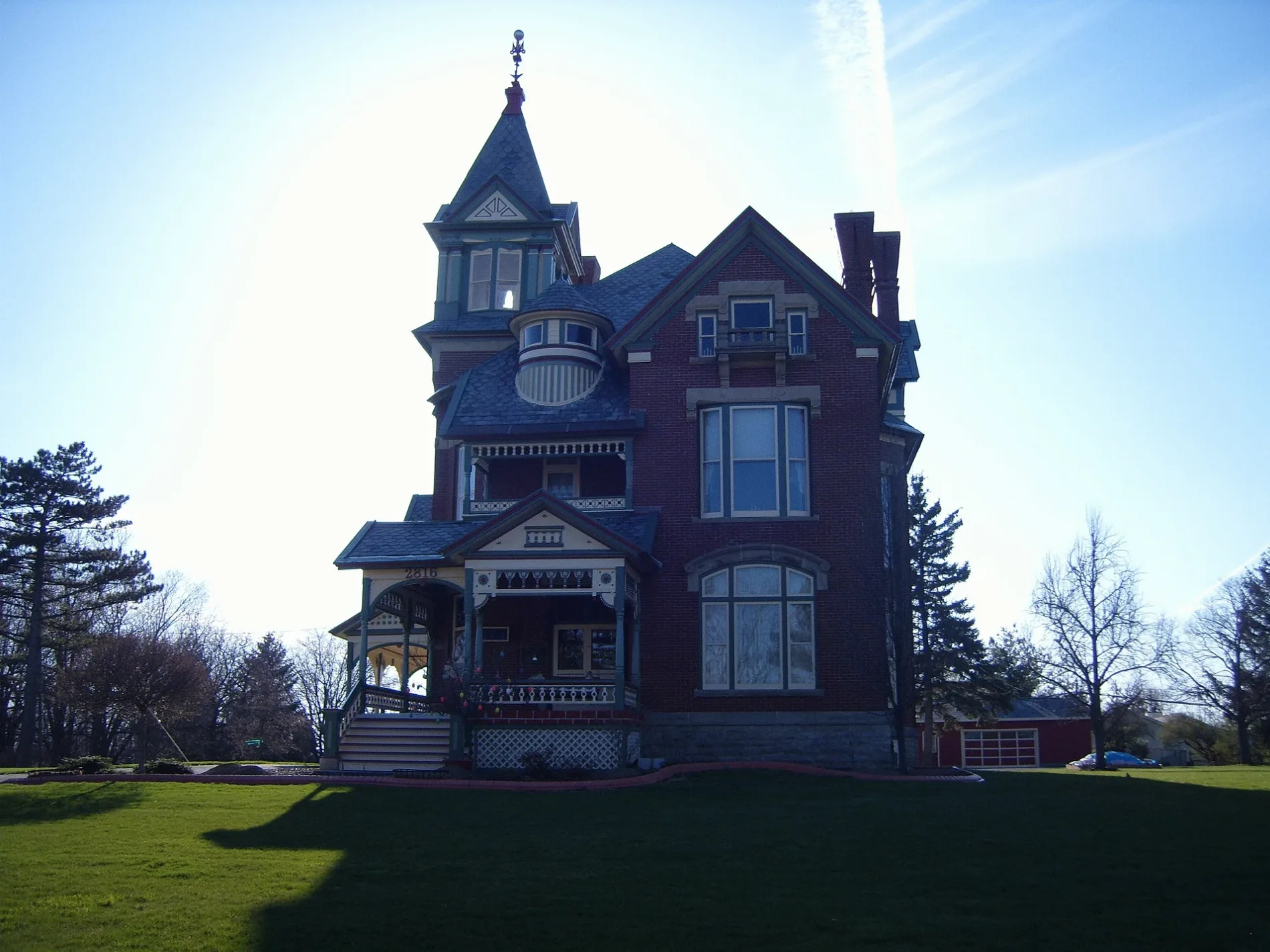
Charles H. Bigelow House0.3 mi
Places of worship nearby
Tabernacle Church of Christ0.1 mi
Christ Church0.1 mi
Findlay Grace Brethren Church0.2 mi
Multicultural Religious Center0.2 mi
Cross Way Ministries0.3 mi
Railways nearby
CSX Toledo Branch Subdivision0.4 mi
Residential areas nearby
High Point0.4 mi
Social facilities nearby
The Judson Palmer Home0.5 mi
Variety stores nearby
Family Dollar0.2 mi
Public transit map Findlay Legend
| Railway | |
| Bus | |
| Streetcar |
Bicycle map Findlay Legend
| Bike path | |
| Bike lane on roadway | |
| Cycling allowed on bus lane | |
| Bicycle street | |
| Open to cyclists | |
| Open to cyclists, good path | |
| Cycling prohibited | |
| Cobblestone |
| Long-distance bike route | (depending on scale) | |
| Long-distance bike route |
Pedestrian map Findlay Legend
| Path |
| Long-distance hiking trail | (depending on scale) | |
| Long-distance hiking trail | ||
| Pedestrians prohibited |