
Findlay Street in Findlay, Ohio
Findlay Street in Findlay is an asphalted residential street. It runs in an east-west direction starting from Marshall Street and crosses Shinkle Street, Western Avenue, Hurd Avenue and Apple Alley and ends at River Street. Findlay Street also exists in Washington Township.
- Road Type
- residential street
- Route
- east-west
Image
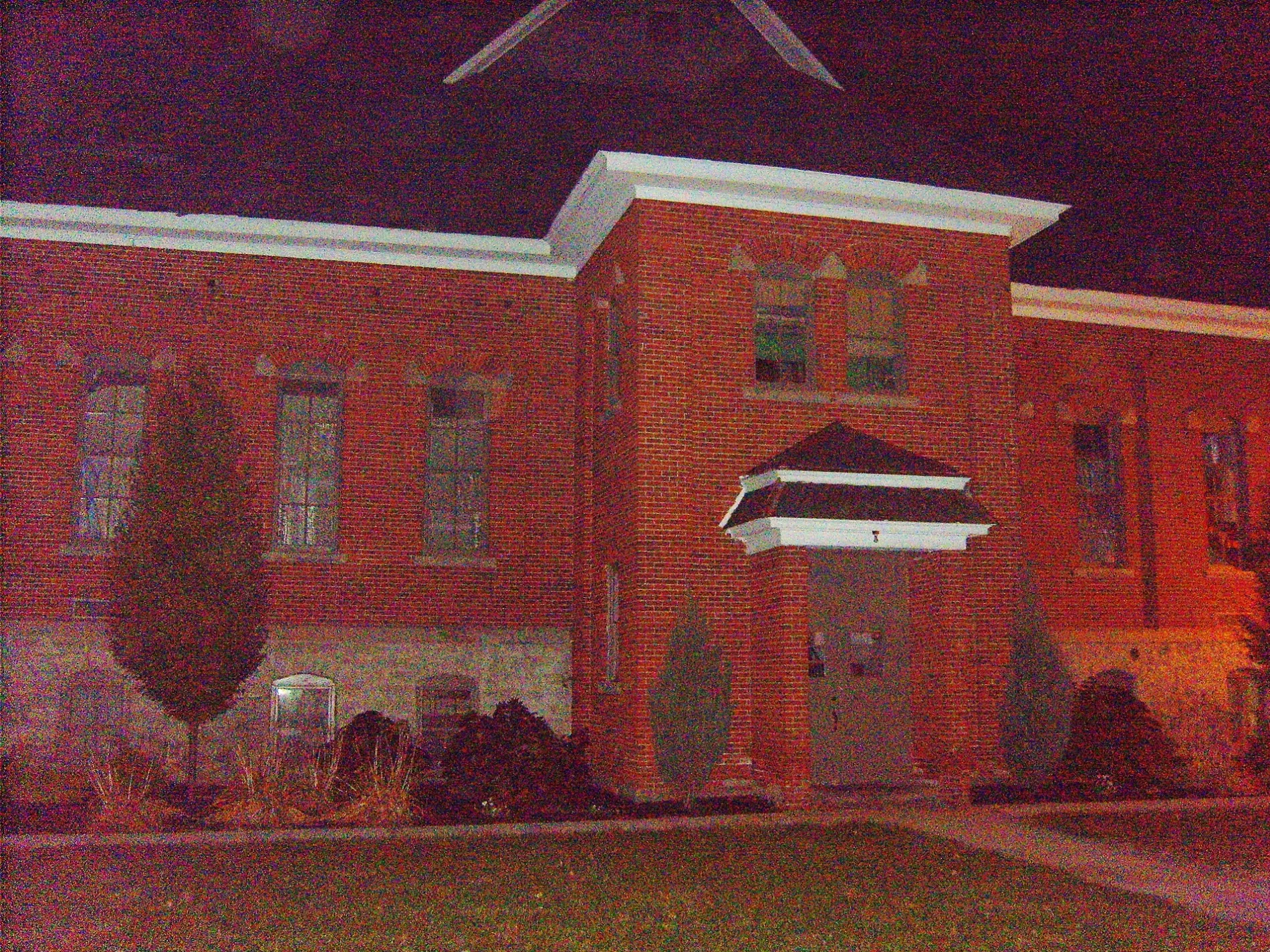
Benches
Doctor's offices
Charging stations
Beauty salons
Trophy shops
Hair salons
Artworks
Fast food restaurants
Locksmiths
Bookstores
Pubs
Music schools
Places of worship
Bars
Convenience stores
Galleries
Schools
Police stations
Restaurants
Streets nearby
River Street450 ft
Washington Street500 ft
Western AvenueLake Cascades Corporate Center
500 ft
Shinkle Street0.1 mi
Marshall Street0.2 mi
Apple Alley0.2 mi
Durrell Street0.3 mi
Liberty StreetFangles, BAJOL Janitorial Supplies, Something Nifty
0.3 mi
Broad AvenueHeritage Christian School, Scout Shop
0.3 mi
Hurd AvenueWest End Tavern
0.3 mi
Adams Street0.3 mi
Rear Adams Street0.3 mi
Greenway Trail0.3 mi
Portz Avenue0.4 mi
West Front StreetAmethyst Rose
0.4 mi
West Main Cross StreetTesla Supercharger, Fisher/Wall Gallery, Hancock County Law Library, Huntington Bank
0.4 mi
West High StreetUZD CARZ
0.4 mi
North West Street0.4 mi
The Brugeman Bridge0.5 mi
Glenn Avenue0.5 mi
Defiance Avenue0.5 mi
Barnett Street0.5 mi
Morey Avenue0.5 mi
Bolton Street0.5 mi
Fox Street0.6 mi
Howard StreetFindlay Combat Academy, Z Pulse Fitness
0.6 mi
Abandoned railways nearby
McComb, Deshler & Toledo Railroad0.3 mi
Auto parts stores nearby
Ohio Automotive Supply0.3 mi
Auto repair shops nearby
BELTZ0.3 mi
Buildings nearby
Knights of Columbus LEO Council 9570.3 mi
Gardner Mausoleum0.3 mi
Fullhart Mausoleum0.4 mi
River Landings Maintnance Center0.4 mi
Pride Transportation Inc.0.5 mi
Millstream Building Systems, Inc.0.6 mi
Candy stores nearby
Dietsch Brothers0.4 mi
Car washes nearby
Wash'N Shine0.4 mi
Cemeteries nearby
Saint Michael Cemetery0.1 mi
Maple Grove Cemetery0.4 mi
Clinics nearby
ENT & Allergy Specialists of Northwest Ohio0.4 mi
Commercial buildings nearby
Stacy Building0.4 mi
Furniture stores nearby
Early American Home0.6 mi
Parks nearby
River Landings0.3 mi
Rawson Park0.4 mi
Swale Ballpark0.4 mi
Places of worship nearby
Saint Michael Catholic Church0.3 mi
Railways nearby
NS Lima District0.3 mi
Social facilities nearby
City Mission0.3 mi
Stadiums nearby
DeHaven Feild0.6 mi
Public transit map Findlay Legend
| Railway | |
| Bus | |
| Streetcar |
Bicycle map Findlay Legend
| Bike path | |
| Bike lane on roadway | |
| Cycling allowed on bus lane | |
| Bicycle street | |
| Open to cyclists | |
| Open to cyclists, good path | |
| Cycling prohibited | |
| Cobblestone |
| Long-distance bike route | (depending on scale) | |
| Long-distance bike route |
Pedestrian map Findlay Legend
| Path |
| Long-distance hiking trail | (depending on scale) | |
| Long-distance hiking trail | ||
| Pedestrians prohibited |