
Highpoint Lane in Findlay, Ohio
Highpoint Lane in Findlay is a two-lane, asphalted residential street. It runs in a north-south direction starting from Waddle Street and crosses Capital Lane and ends at West Bigelow Avenue. Highpoint Lane also exists in Summit County.
- Road Type
- residential street
- Lanes
- 2
- Route
- north-south
Image
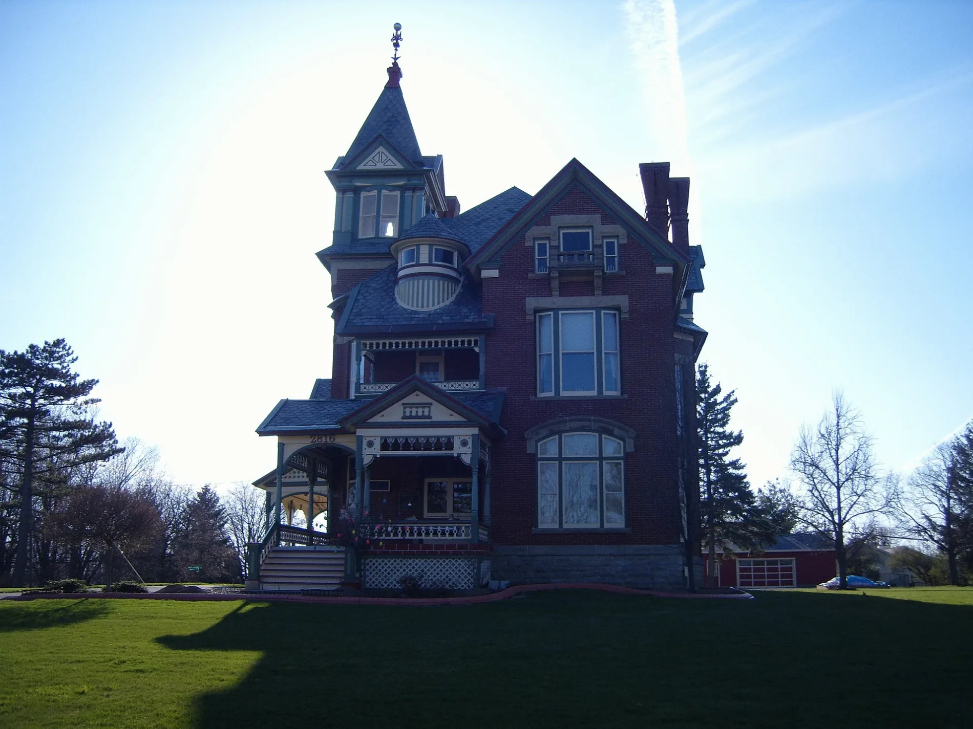
Doctor's offices
Variety stores
Gift shops
Dry cleaners
Hardware stores
Clinics
Fast food restaurants
Restaurants
Beauty salons
Vending machines
Gas stations
Schools
Hair salons
Places of worship
Cafes
Clothing stores
Pharmacies
Cell phone stores
Streets nearby
Capital Lane300 ft
Northgate Court500 ft
Northgate Boulevard0.1 mi
Waddle Street0.1 mi
West Bigelow Avenue0.2 mi
Poplar Court Apartment0.2 mi
Hillcrest Avenue0.2 mi
Crosshill Court0.2 mi
West Meade Avenue0.2 mi
Alpine Drive0.3 mi
Hulick Avenue0.3 mi
Lotze Street0.3 mi
Briarcliff Drive0.3 mi
Sheffield Drive0.3 mi
Springbrook Drive0.3 mi
Woodcliff Drive0.3 mi
Ridgeview Drive0.3 mi
Crosshill Drive0.3 mi
Edgemont Drive0.3 mi
Norcrest Street0.3 mi
Oxford Drive0.4 mi
Broad AvenueCaribou Coffee, Heritage Christian School, Scout Shop
0.4 mi
Southcliff Drive0.4 mi
Greenacre Drive0.4 mi
Cresthaven Drive0.4 mi
Northcliff Drive0.4 mi
Hillshafer Drive0.4 mi
Walking Path0.5 mi
Shops nearby
Blasius Countertops0.3 mi
Buildings nearby
BIgelow Hill Elementary School0.1 mi
Rotary Center Consessions0.5 mi
Commercial buildings nearby
Mission Possible500 ft
Nothern Lofts Salons & Suites0.3 mi
VanHorn Hoover & Associates Inc0.3 mi
Fast food restaurants nearby
Irv's0.3 mi
Houses nearby
Charles H. Bigelow House0.2 mi
Ice rinks nearby
The Cube Sports Complex0.5 mi
Places of worship nearby
Norcrest Presbyterian Church0.2 mi
Christ Church0.2 mi
Upperroom Church of God0.3 mi
Playgrounds nearby
All Star Playground0.5 mi
Pubs nearby
La Charrita0.3 mi
Residential areas nearby
High Point300 ft
Poplar Court0.2 mi
The Heritage0.3 mi
Social facilities nearby
The Legacy at Heritage Estates0.2 mi
Sports fields nearby
Retting Field0.5 mi
National Lime & Stone Field0.5 mi
Miracle Park0.5 mi
 Public transit map Findlay Legend
| Railway | |
| Bus | |
| Streetcar |
 Bicycle map Findlay Legend
| Bike path | |
| Bike lane on roadway | |
| Cycling allowed on bus lane | |
| Bicycle street | |
| Open to cyclists | |
| Open to cyclists, good path | |
| Cycling prohibited | |
| Cobblestone |
| Long-distance bike route | (depending on scale) | |
| Long-distance bike route |
 Pedestrian map Findlay Legend
| Path |
| Long-distance hiking trail | (depending on scale) | |
| Long-distance hiking trail | ||
| Pedestrians prohibited |