
Rear Adams Street in Findlay, Ohio
Rear Adams Street in Findlay is a residential street. It runs in an east-west direction starting from Glessner Avenue and crosses Portz Avenue. It ends in a cul-de-sac.
- Road Type
- residential street
- Route
- east-west
Image
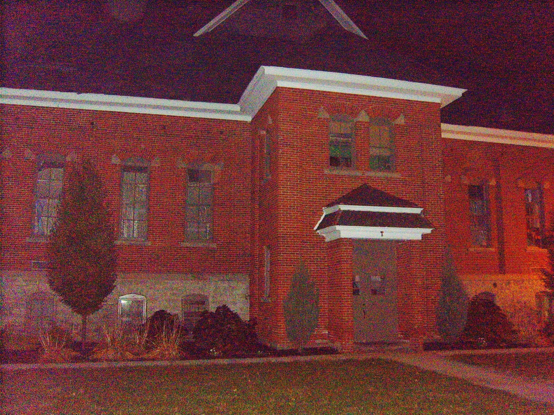
Convenience stores
Doctor's offices
Bars
Prisons
Kindergartens
Restaurants
Opticians
Fast food restaurants
Benches
Locksmiths
Galleries
Bookstores
Copy shops
Computer stores
Artworks
Places of worship
Charging stations
Police stations
Schools
Music schools
Car rentals
Streets nearby
Adams Street500 ft
Portz Avenue550 ft
Glessner AvenueWolfies Deli & Carryout, Bill's Lock Service, Simpson Chiropractic Center
0.1 mi
Durrell Street0.1 mi
Marshall Street0.2 mi
Putnam Street0.2 mi
National Court0.2 mi
Shinkle Street0.2 mi
Winthrop Drive0.3 mi
Washington Street0.3 mi
Sandusky Square Apartment0.3 mi
Findlay Street0.3 mi
West Sandusky StreetFindlay Optometry Clinic Inc., Chase, Circle of Friends, Findlay Foursquare Church, Grace Evangelical Congregational Church
0.3 mi
West Hardin StreetThe Wine Merchant, Precise Audiology, The Wellspring, WM Uncorked, Painters' Pottery
0.4 mi
West Main Cross StreetFisher/Wall Gallery, Tesla Supercharger, Hancock County Law Library, Huntington Bank
0.4 mi
Totten Avenue0.4 mi
Western AvenueLake Cascades Corporate Center
0.4 mi
Hurd AvenueWest End Tavern
0.4 mi
Broad AvenueCaribou Coffee, Heritage Christian School, Scout Shop
0.4 mi
West Lima StreetHidden Gem Hair Salon
0.5 mi
Mary Street0.5 mi
Emma Street0.5 mi
Marathon Boulevard0.6 mi
Shops nearby
Inter-State Truck Repair0.3 mi
Abandoned railways nearby
McComb, Deshler & Toledo Railroad0.6 mi
Auto parts stores nearby
Ohio Automotive Supply0.4 mi
Buildings nearby
Knights of Columbus LEO Council 9570.3 mi
Gardner Mausoleum0.3 mi
Fullhart Mausoleum0.4 mi
Car washes nearby
Wash'N Shine0.1 mi
Cemeteries nearby
Saint Michael Cemetery0.3 mi
Maple Grove Cemetery0.5 mi
Clinics nearby
ENT & Allergy Specialists of Northwest Ohio0.2 mi
Commercial buildings nearby
Findlay Monument Co0.2 mi
The Courier0.4 mi
Lammers0.5 mi
Convenience stores nearby
Bellstores0.2 mi
Dentist's offices nearby
Findlay Orthodontics0.6 mi
Gas stations nearby
Marathon0.3 mi
Industrial areas nearby
Marathon Pipeline LLC Findlay Station0.4 mi
Industrial buildings nearby
Legacy0.6 mi
Motels nearby
Econo Lodge0.5 mi
Parks nearby
Rawson Park0.5 mi
Places of worship nearby
Saint Michael Catholic Church0.3 mi
Pubs nearby
Fricker's0.5 mi
Railways nearby
NS Lima District0.3 mi
Residential areas nearby
Sandusky Square0.4 mi
Social facilities nearby
City Mission0.4 mi
Other nearby
Totten Substation0.4 mi
Public transit map Findlay Legend
| Railway | |
| Bus | |
| Streetcar |
Bicycle map Findlay Legend
| Bike path | |
| Bike lane on roadway | |
| Cycling allowed on bus lane | |
| Bicycle street | |
| Open to cyclists | |
| Open to cyclists, good path | |
| Cycling prohibited | |
| Cobblestone |
| Long-distance bike route | (depending on scale) | |
| Long-distance bike route |
Pedestrian map Findlay Legend
| Path |
| Long-distance hiking trail | (depending on scale) | |
| Long-distance hiking trail | ||
| Pedestrians prohibited |