
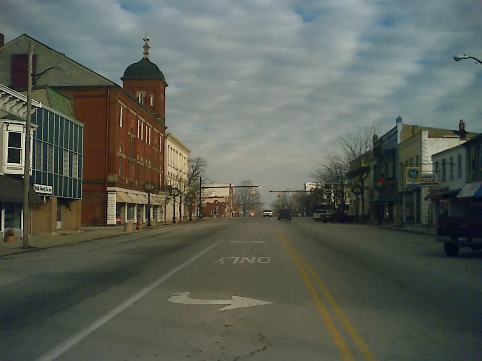
East Pleasant Street in Hillsboro, Ohio
East Pleasant Street in Hillsboro is an asphalted residential street. It runs in an east-west direction starting from South High Street and crosses South East Street and ends at Johnson Street. East Pleasant Street also exists in Logan County.
- Road Type
- residential street
- Route
- east-west
Image
Coffee shops
Gift shops
Schools
Hair salons
Thrift stores
Vape shops
Restaurants
Fast food restaurants
Banks
Courthouses
Laundries
Clothing stores
Florists
Electronics stores
Cafes
Libraries
Ice cream shops
Streets nearby
Muntz Street0.1 mi
East South Street0.2 mi
Johnson Street0.2 mi
Ash Street0.2 mi
Uhrig Street0.2 mi
East Lilley Avenue0.3 mi
South East Street0.3 mi
West Lilley Avenue0.3 mi
South High StreetHoltfield Coffee, Hillsboro Historic Business District, Collins Appliance Store, Common Thread Collective
0.3 mi
Wellston Street0.3 mi
East Walnut StreetFrom Me to You
0.3 mi
East Main StreetEast Main Street Historic District, Merchants National Bank
0.3 mi
Bell Street0.4 mi
Belfast Pike0.4 mi
East Beech StreetCundiff's Flowers and Gifts
0.4 mi
Bigelow Street0.4 mi
Key Street0.4 mi
West Union Pike0.5 mi
Conrad Street0.5 mi
Shops nearby
CompuSolve0.1 mi
Antique stores nearby
Rusty Hill Antiques0.2 mi
Banks nearby
National Cooperative Bank0.2 mi
Buildings nearby
Buckeye Family Eye Clinic0.2 mi
ICAP Crop Insurance0.2 mi
Peelle Law Offices0.3 mi
Highland House0.3 mi
Van Zant Law Office0.3 mi
Crowe Financial Group0.4 mi
Coffee shops nearby
5 Beans Coffee & Cream0.4 mi
Commercial buildings nearby
The Highland County Press0.2 mi
Community centers nearby
Senior Center500 ft
Convenience stores nearby
Holtfield Station0.2 mi
Cosmetics stores nearby
Merle Norman0.3 mi
Funeral homes nearby
Thompson Funeral Home & Cremation Services0.3 mi
Edgington Funeral Home0.3 mi
Gas stations nearby
Marathon0.3 mi
Hair salons nearby
The Cutting Crew0.3 mi
Office buildings nearby
East Main Professional Building0.3 mi
Party supply stores nearby
Larry's Party Shop0.1 mi
Pawn shops nearby
Hillsboro Pawn & Jewelry0.2 mi
Places of worship nearby
Cornerstone Family Worship Center0.2 mi
Saint Mary Catholic Church0.2 mi
Wayman's Chapel AME Church0.2 mi
Police stations nearby
Hillsboro Police0.3 mi
Pubs nearby
The Patriot Public House0.3 mi
Restaurants nearby
Ponderosa Steakhouse0.2 mi
Pizza Hut0.2 mi
Schools nearby
St. Mary Catholic School & Parish Center0.2 mi
Stationery stores nearby
Single Office Stop0.4 mi
Public transit map Hillsboro Legend
| Railway | |
| Bus | |
| Streetcar |
Bicycle map Hillsboro Legend
| Bike path | |
| Bike lane on roadway | |
| Cycling allowed on bus lane | |
| Bicycle street | |
| Open to cyclists | |
| Open to cyclists, good path | |
| Cycling prohibited | |
| Cobblestone |
| Long-distance bike route | (depending on scale) | |
| Long-distance bike route |
Pedestrian map Hillsboro Legend
| Path |
| Long-distance hiking trail | (depending on scale) | |
| Long-distance hiking trail | ||
| Pedestrians prohibited |