
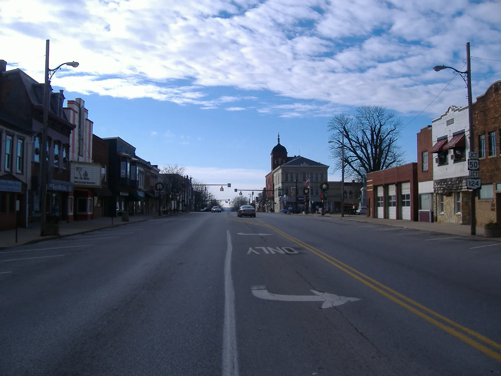
North East Street in Hillsboro, Ohio
North East Street in Hillsboro is an asphalted residential street. It runs in a north-south direction starting from Speigle Street and crosses East Collins Avenue, Willow Street, East North Street, East Beech Street and East Main Street and ends at South East Street. North East Street also exists in Warren County, Clermont County, Greene County, Brown County and Marion County.
- Road Type
- residential street
- Route
- north-south
Image
Fast food restaurants
Laundries
Banks
Cafes
Hair salons
Vape shops
Restaurants
Coffee shops
Libraries
Electronics stores
Gift shops
Clothing stores
Florists
Ice cream shops
Courthouses
Thrift stores
Schools
Streets nearby
Willow Street250 ft
Hazel Street500 ft
Central Avenue550 ft
North High StreetHillsboro, Blossoms 'N Buds, Coin Laundry, Giovanni's Pizza
0.1 mi
East North StreetSubway
0.1 mi
East Collins Avenue0.2 mi
Catherine Street0.2 mi
West Collins Avenue0.2 mi
East Beech StreetCundiff's Flowers and Gifts
0.2 mi
Tower Drive0.3 mi
Bell Street0.3 mi
West Beech Street0.3 mi
East Main StreetEast Main Street Historic District, Merchants National Bank
0.3 mi
Shops nearby
Rite Aid0.2 mi
Ventura's Feed & Country Store0.3 mi
Banks nearby
Southern Hills Community Bank0.1 mi
First Financial Bank0.2 mi
U.S. Bank0.2 mi
Fifth Third Bank0.2 mi
Boutiques nearby
Miracle on Meadow0.3 mi
Buildings nearby
Chambers-Fite Realty0.2 mi
Jacob D. Wagoner Attorney0.2 mi
Donald E. Fender Inc. Realtors0.2 mi
Master Feed Mill of Hillsboro0.2 mi
Nationwide0.2 mi
Highland Co. Hearing Aid Center0.3 mi
City of Hillsboro0.3 mi
Crowe Financial Group0.3 mi
Van Zant Law Office0.3 mi
Highland House0.3 mi
Cell phone stores nearby
AT&T0.2 mi
Clothing stores nearby
Georgia's Bridal and Formal0.2 mi
Janie's Closet0.3 mi
Coffee shops nearby
5 Beans Coffee & Cream0.3 mi
Copy shops nearby
Mac Printing Company, Inc.0.2 mi
Dentist's offices nearby
Burwinkel Family Dentistry0.2 mi
Event venues nearby
Hillsboro Orpheum0.3 mi
Funeral homes nearby
Turner Funeral Home and Crematory0.2 mi
Edgington Funeral Home0.3 mi
Gas stations nearby
UDF Fuel0.2 mi
Marathon0.3 mi
Office buildings nearby
East Main Professional Building0.3 mi
Places of worship nearby
Saint Marys Episcopal Church0.2 mi
New Hope Baptist Church0.2 mi
Hillsboro Church of Christ in Christian Union0.2 mi
Post offices nearby
Hillsboro Post Office0.2 mi
Residential areas nearby
Golden Manor Apartments350 ft
Retail buildings nearby
Lucky Bucks0.2 mi
Stationery stores nearby
Single Office Stop0.3 mi
Public transit map Hillsboro Legend
| Railway | |
| Bus | |
| Streetcar |
Bicycle map Hillsboro Legend
| Bike path | |
| Bike lane on roadway | |
| Cycling allowed on bus lane | |
| Bicycle street | |
| Open to cyclists | |
| Open to cyclists, good path | |
| Cycling prohibited | |
| Cobblestone |
| Long-distance bike route | (depending on scale) | |
| Long-distance bike route |
Pedestrian map Hillsboro Legend
| Path |
| Long-distance hiking trail | (depending on scale) | |
| Long-distance hiking trail | ||
| Pedestrians prohibited |