
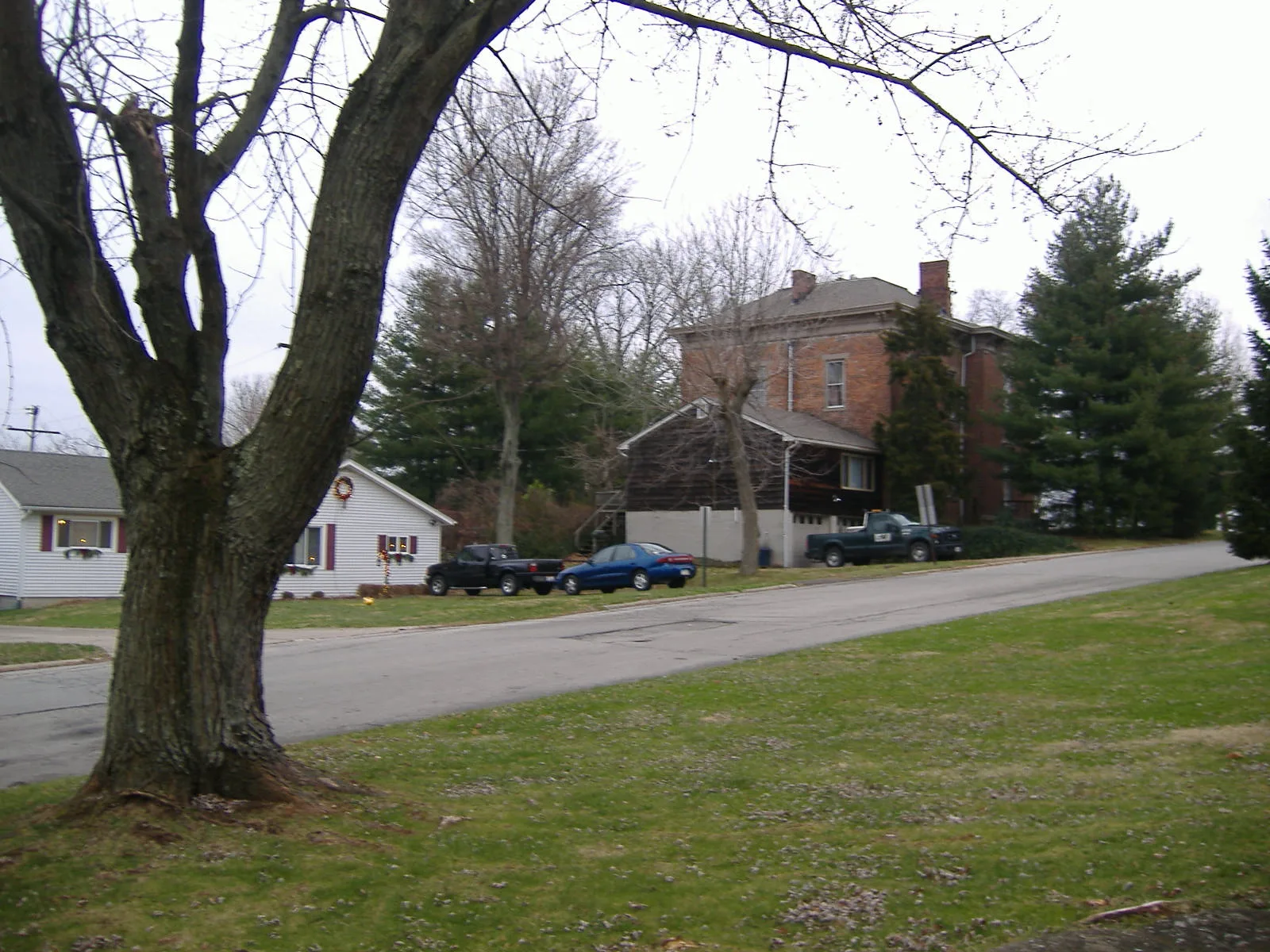
West Josie Avenue in Hillsboro, Ohio
West Josie Avenue in Hillsboro is an asphalted residential street. It runs in an east-west direction starting from Wenmar Street and crosses Joan Avenue and South Glenn Street and ends at East Josie Avenue.
- Road Type
- residential street
- Route
- east-west
Image
Coffee shops
Schools
Hair salons
Courthouses
Banks
Vape shops
Restaurants
Fast food restaurants
Cafes
Gift shops
Ice cream shops
Clothing stores
Florists
Thrift stores
Libraries
Electronics stores
Laundries
Streets nearby
Joan Avenue0.1 mi
Wenmar Street0.2 mi
Richard Street0.2 mi
Highland Drive0.2 mi
South Glenn Street0.3 mi
Quail Meadows Court0.3 mi
East Josie Avenue0.3 mi
June Avenue0.3 mi
Meadow Circle0.3 mi
Danville Pike0.4 mi
North Glenn Street0.4 mi
Taylor Drive0.4 mi
Taylor Court0.5 mi
Lanewood Drive0.5 mi
Windsor Drive0.5 mi
Pleasant Drive0.5 mi
Westover Drive0.5 mi
Meadow Lane0.6 mi
Oak Street0.6 mi
Walnut Lane0.6 mi
Liberty Lane0.6 mi
Vine Street0.7 mi
Willettsville Pike0.7 mi
Highland Avenue0.7 mi
Maple Run Drive0.7 mi
Uhrig Street0.7 mi
Cheryl Lane0.7 mi
South Elm Street0.8 mi
West Main StreetMain St. Apparel & Tux, Momma's West Main Street Cafe, Sonner's Barber Shop, White's Bakery
0.8 mi
Moore Road0.8 mi
Fair Street0.8 mi
O'Connell Street0.9 mi
John Street0.9 mi
Fenner Road0.9 mi
Auto parts stores nearby
NAPA Auto Parts0.3 mi
Auto repair shops nearby
West Main Auto Repair0.3 mi
Highland Auto Service0.3 mi
Car dealerships nearby
Bud's Auto Sales0.3 mi
Car washes nearby
Pit Stop Car Wash0.3 mi
Convenience stores nearby
1st Stop0.4 mi
Fast food restaurants nearby
Dairy Queen0.4 mi
Gas stations nearby
Marathon0.4 mi
Golf courses nearby
Hillsboro Elks Golf Course0.5 mi
Libraries nearby
Highland County District Library0.6 mi
Motels nearby
Paragon Inn Hillsboro0.3 mi
Hillsboro Inn & Suites0.4 mi
Places of worship nearby
Peace Lutheran Church0.3 mi
Specialty stores nearby
John Deere0.5 mi
Veterinary clinics nearby
Colonial Animal Clinic0.8 mi
Public transit map Hillsboro Legend
| Railway | |
| Bus | |
| Streetcar |
Bicycle map Hillsboro Legend
| Bike path | |
| Bike lane on roadway | |
| Cycling allowed on bus lane | |
| Bicycle street | |
| Open to cyclists | |
| Open to cyclists, good path | |
| Cycling prohibited | |
| Cobblestone |
| Long-distance bike route | (depending on scale) | |
| Long-distance bike route |
Pedestrian map Hillsboro Legend
| Path |
| Long-distance hiking trail | (depending on scale) | |
| Long-distance hiking trail | ||
| Pedestrians prohibited |