
Hillsboro, Ohio
Hillsboro is located in Liberty Township. About 6,605 people live here. Between 2010 and 2020, the population declined from 6,605 to 6,481. The region is at 342 meters above sea level. The area covers about 14.2 square kilometers. There are about 301 streets in Hillsboro. The ZIP codes are 45133. The dialing code is 937. Hillsboro is city in and the county seat of Highland County, Ohio, United States. Among other things, Hillsboro has restaurants, cafés, clothing Stores, schools, banks and hair Salons. More information at www.hillsboroohio.net.
Hillsboro – Facts
| Population | 6481 |
|---|---|
| Area | 14.2 km² |
| Elevation | 342 m |
| Located in | Highland County |
| Postal code | 45133 |
| Country | United States |
| Official name | Hillsboro |
| Website | http://www.hillsboroohio.net/ |
Data source: Wikidata (CC0)
Photos from Hillsboro
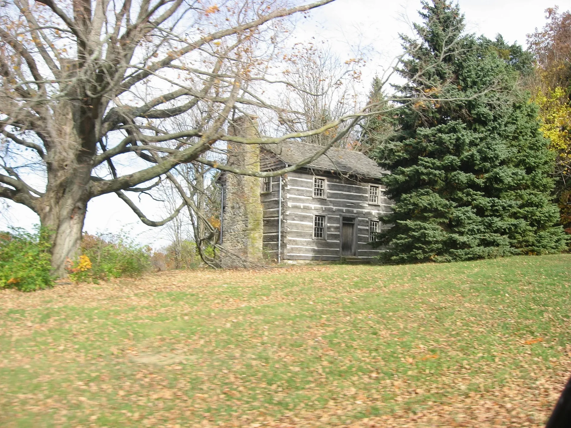
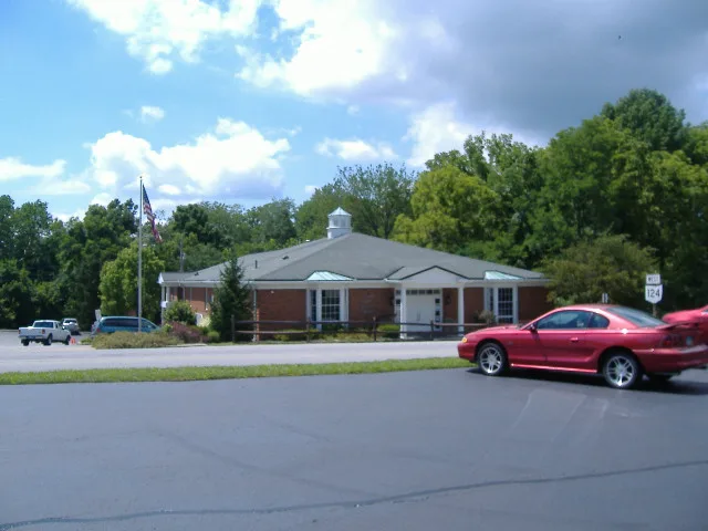
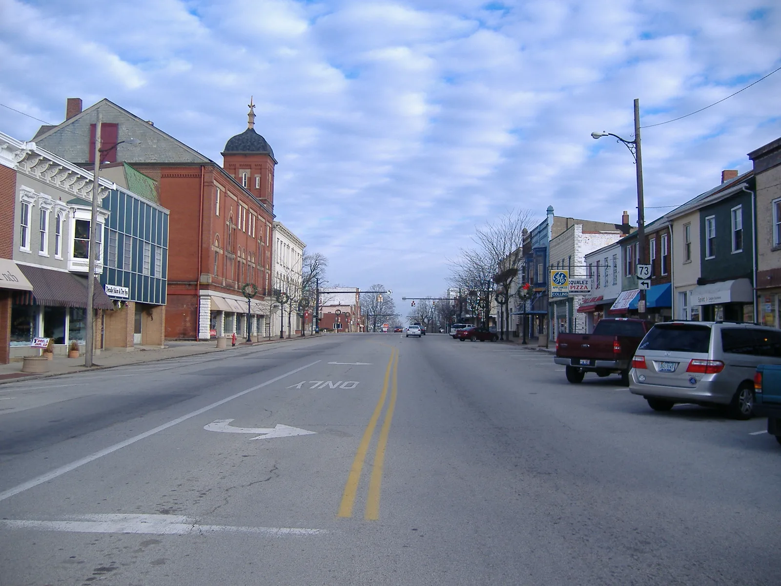
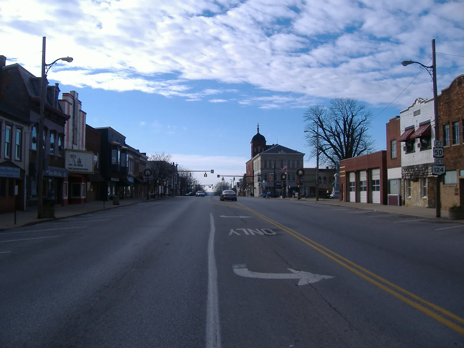
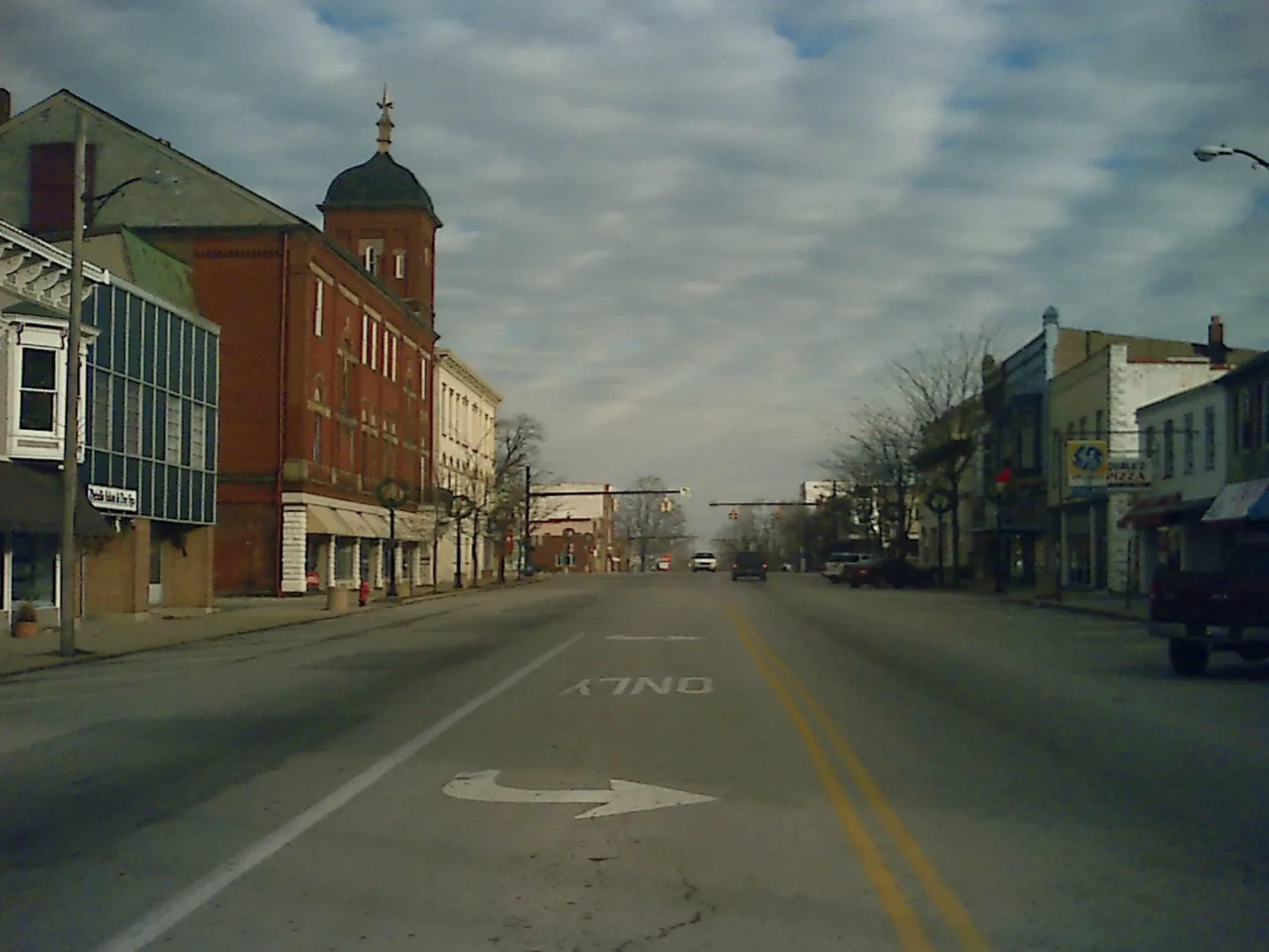
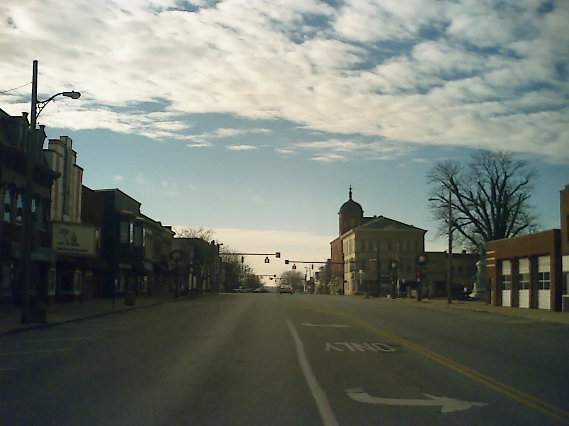
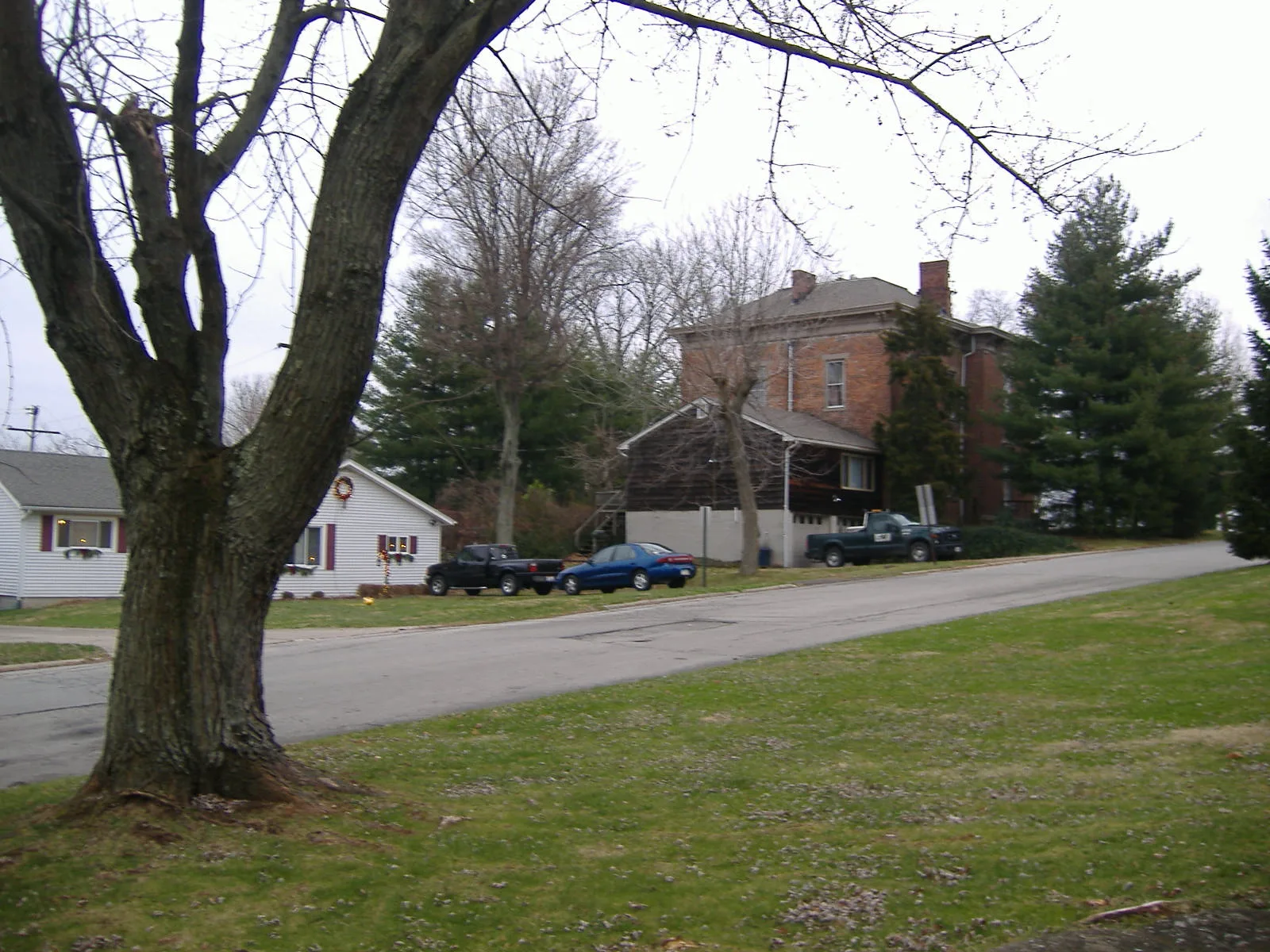
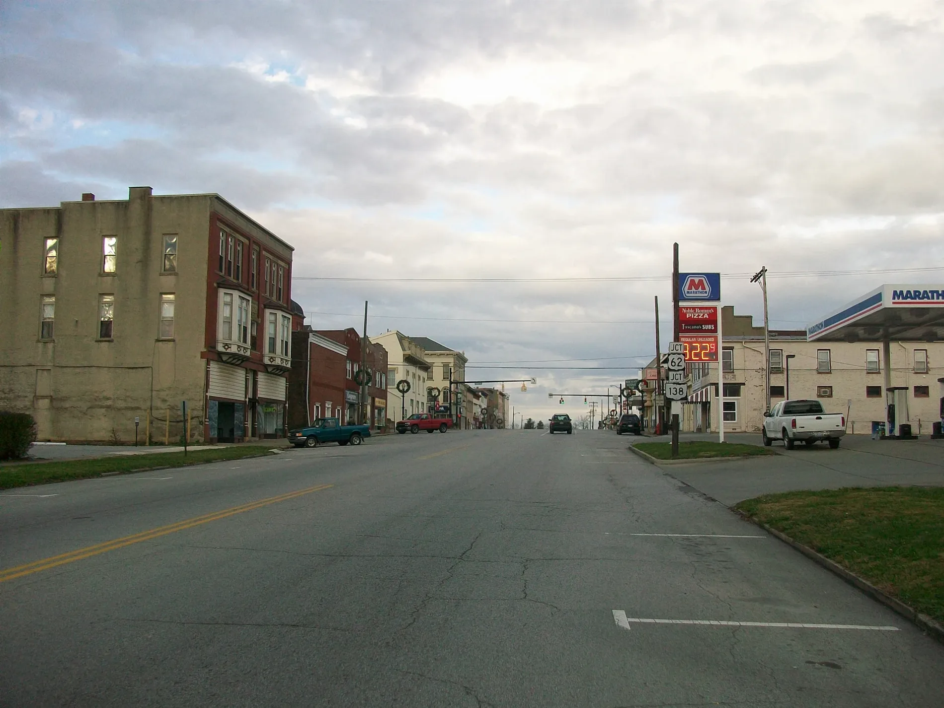
Streets in Hillsboro, Ohio
Streets
West Main Street
Main St. Apparel & Tux, Momma's West Main Street Cafe, Sonner's Barber Shop, White's Bakery
North High StreetHillsboro, Blossoms 'N Buds, Coin Laundry, Giovanni's Pizza
West North StreetUnited Dairy Farmers, Papa John's
South High StreetHoltfield Coffee, Hillsboro Historic Business District, Collins Appliance Store, Common Thread Collective
Governor Trimble PlaceHighland County Courthouse, Highland County Law Library
East Main StreetEast Main Street Historic District, Merchants National Bank
North West StreetHabitat for Humanity ReStore
East North StreetSubway
East Beech StreetCundiff's Flowers and Gifts
East Walnut StreetFrom Me to You
Spruce StreetWorld's Largest Horseshoe Crab
West Walnut StreetLittle Lamb Christian Pre-School
Hazel Street
Bell Street
Monroe Street
West Beech Street
North Elm Street
Springlake Avenue
Conrad Street
Oak Hills Drive
Robin Lane
Chariss Avenue
Lanewood Drive
Wilson Circle
McDowell Street
Willow Street
Quiet Court
O'Connell Street
Governor Foraker Place
Meadow Circle
South Elm Street
Somers Street
Crestview Avenue
Pleasant Drive
Trenton Street
Greenfield Pike
Water Street
West Collins Avenue
Baker Street
Bowers Avenue
Tanglewood Drive
Careytown Road
Adams Street
Sherwood DriveAuto parts stores
Auto repair shops
Buildings
Car dealerships
Car washes
Cell phone stores
Cemeteries
Convenience stores
Copy shops
Doctor's offices
Fast food restaurants
Houses
Places of worship
Police stations
Restaurants
Supermarkets
Variety stores
Veterinary clinics
Public transit map Hillsboro Legend
| Railway | |
| Bus | |
| Streetcar |
Bicycle map Hillsboro Legend
| Bike path | |
| Bike lane on roadway | |
| Cycling allowed on bus lane | |
| Bicycle street | |
| Open to cyclists | |
| Open to cyclists, good path | |
| Cycling prohibited | |
| Cobblestone |
| Long-distance bike route | (depending on scale) | |
| Long-distance bike route |
Pedestrian map Hillsboro Legend
| Path |
| Long-distance hiking trail | (depending on scale) | |
| Long-distance hiking trail | ||
| Pedestrians prohibited |