
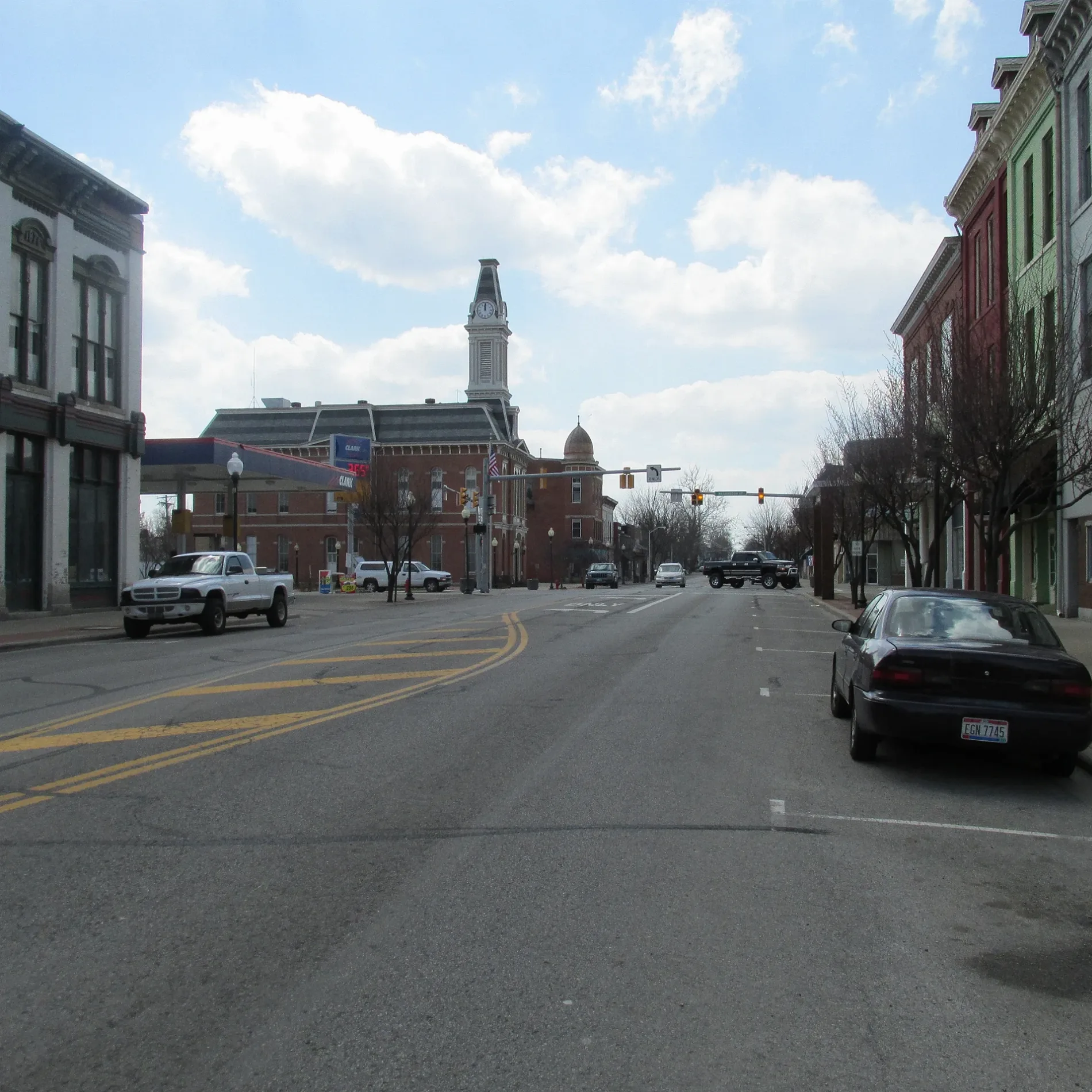
Olive Street in Greenfield, Ohio
Olive Street in Greenfield is a residential street and it runs in a north-south direction starting from Pine Street and ends in a cul-de-sac.
- Road Type
- residential street
- Route
- north-south
Places of worship
Restaurants
Fast food restaurants
Courthouses
Police stations
Clinics
Streets nearby
South 4th Street350 ft
South 5th Street400 ft
Lyndon Avenue0.1 mi
South StreetCentral Church of Christ, First Church of God
0.1 mi
South 6th Street0.2 mi
Mirabeau Street0.2 mi
Summerfield Street0.2 mi
General Hull Way0.2 mi
Short Dickey Avenue0.2 mi
Dickey Avenue0.2 mi
Jefferson StreetTaco Bell, Subway, Greenfield, Greenfield City Hall, Greenfield Police Department, Highland County Court
0.3 mi
North 4th Street0.3 mi
Pine Street0.3 mi
Baltimore Avenue0.3 mi
McKell Avenue0.3 mi
Nellie Street0.3 mi
Waddell Street0.3 mi
Neal Street0.3 mi
South 7th Street0.3 mi
Oak Street0.3 mi
Blaine Street0.4 mi
Carford Pike0.4 mi
South Washington Street0.5 mi
Juvenile Street0.5 mi
Banks nearby
Community Savings Bank0.3 mi
Beverage stores nearby
Cruz Thru 20.3 mi
Buildings nearby
Walls Family Insurance0.2 mi
Homerun Insurance Services0.3 mi
Chester Eye Center0.3 mi
Legacy One Realty0.4 mi
Car dealerships nearby
Smitty's Auto Sales0.3 mi
Commercial buildings nearby
Buckeye Ambulance0.4 mi
Fitness centers nearby
Small Town Fitness0.3 mi
Funeral homes nearby
Murray-Fettro Funeral Home0.2 mi
Furniture stores nearby
Greenfield's Homestead0.3 mi
Game stores nearby
E&T Collectibles0.3 mi
Gift shops nearby
The Art Rookery / Shannon's Crafting Creations0.2 mi
Hair salons nearby
C&C Barbershop0.3 mi
Houses nearby
Christopher Lewis & Co.0.3 mi
Seely Portraits0.3 mi
Parks nearby
Imagination Kingdom Park0.3 mi
Mitchell Park0.6 mi
Places of worship nearby
First Methodist Church0.1 mi
Church of the Nazarene0.2 mi
First Presbyterian Church0.3 mi
Schools nearby
Greenfield Middle School0.3 mi
McClain High School0.3 mi
Tattoo studios nearby
Black Cat Tattoo0.3 mi
Veterinary clinics nearby
Paint Creek Veterinary Clinic0.2 mi
Public transit map Greenfield Legend
| Railway | |
| Bus | |
| Streetcar |
Bicycle map Greenfield Legend
| Bike path | |
| Bike lane on roadway | |
| Cycling allowed on bus lane | |
| Bicycle street | |
| Open to cyclists | |
| Open to cyclists, good path | |
| Cycling prohibited | |
| Cobblestone |
| Long-distance bike route | (depending on scale) | |
| Long-distance bike route |
Pedestrian map Greenfield Legend
| Path |
| Long-distance hiking trail | (depending on scale) | |
| Long-distance hiking trail | ||
| Pedestrians prohibited |