
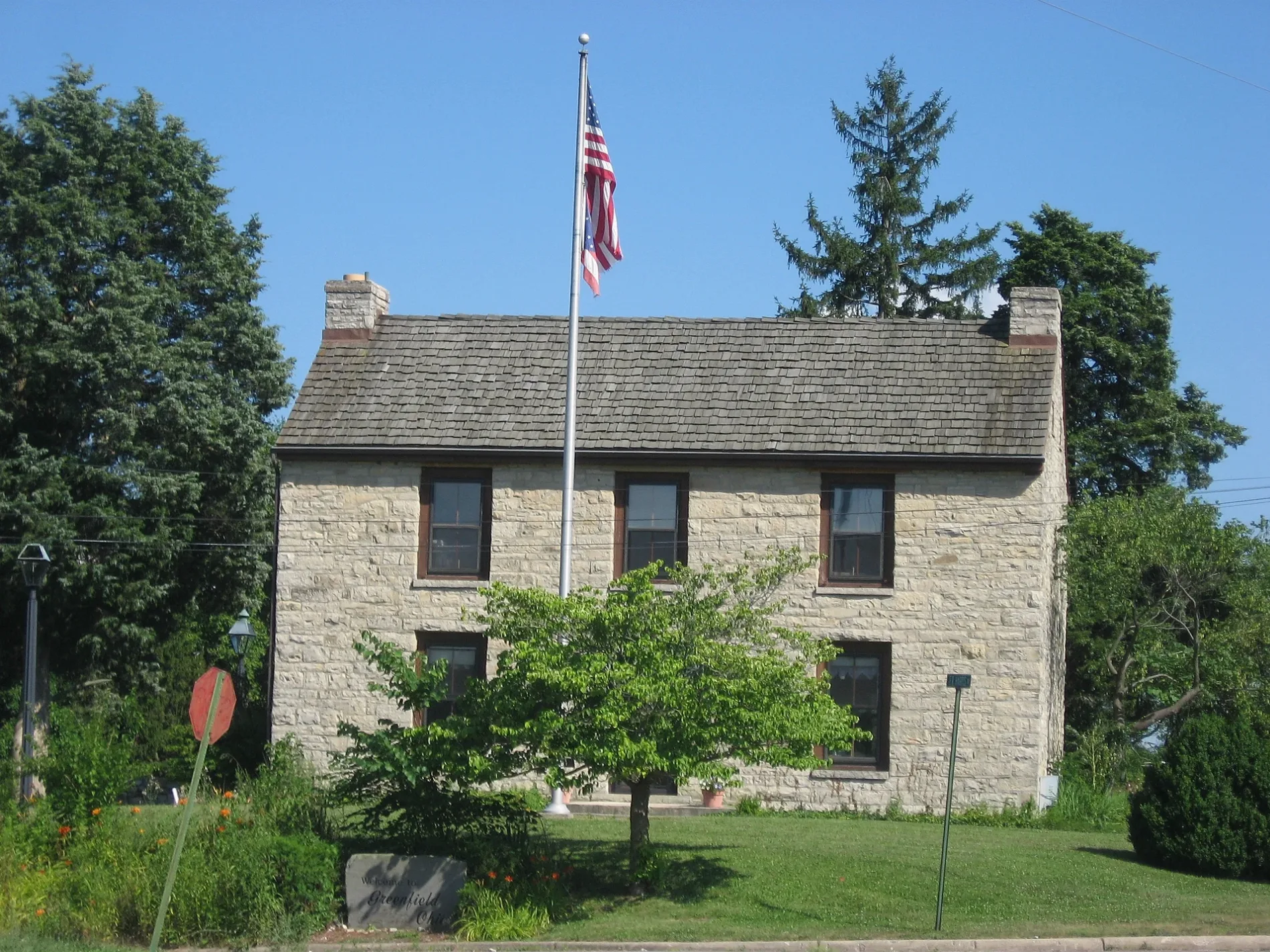
South McArthur Way in Greenfield, Ohio
South McArthur Way in Greenfield is a residential street. It runs in a north-south direction starting from North McArthur Way and crosses Jefferson Street, General Hull Way, Mirabeau Street, South Street, Smith Street and Paint Street. It ends in a cul-de-sac.
- Road Type
- residential street
- Route
- north-south
Image
Police stations
Social facilities
Places of worship
Restaurants
Fast food restaurants
Courthouses
Town halls
Clinics
Streets nearby
Smith Street0.1 mi
South 2nd Street0.1 mi
Jefferson StreetTaco Bell, Subway, Greenfield, Greenfield City Hall, Greenfield Police Department, Highland County Court
0.2 mi
Paint Street0.2 mi
Pine Street0.2 mi
Railroad Street0.2 mi
Summerfield Street0.2 mi
North McArthur Way0.2 mi
Shell0.2 mi
South StreetCentral Church of Christ, First Church of God
0.3 mi
South Washington Street0.3 mi
South 4th Street0.3 mi
Shops nearby
The Letter Shop0.3 mi
Banks nearby
Merchants National Bank0.1 mi
Fifth Third Bank0.2 mi
Southern Hills Community Bank0.3 mi
Bars nearby
Catch 22 Sports Pub0.2 mi
Buildings nearby
Walls Family Insurance0.3 mi
First Baptist Church Family & Fellowship Center0.3 mi
Judkins & Hayes Attorneys At Law0.3 mi
Sitterle Insurance0.3 mi
Highland Family Eye Care0.3 mi
Clothing stores nearby
Sassy Sisters Boutique0.2 mi
Beautiful Chaos Boutique0.3 mi
Community centers nearby
VFW Post0.2 mi
Convenience stores nearby
Cruz Thru0.2 mi
Flagway0.2 mi
Fast food restaurants nearby
Burger King0.2 mi
McDonald's0.2 mi
Domino's0.3 mi
Fire stations nearby
Greenfield Fire Department0.3 mi
Florists nearby
Robbins Village Florist0.2 mi
Furniture stores nearby
Greenfield's Homestead0.3 mi
Game stores nearby
E&T Collectibles0.3 mi
Gift shops nearby
The Art Rookery / Shannon's Crafting Creations0.3 mi
Massage therapy clinics nearby
Becky's Relaxation Station0.2 mi
Blessings House of Healing0.3 mi
Pharmacies nearby
Rite Aid0.2 mi
Corner Pharmacy0.3 mi
Places of worship nearby
Saint Benignus Church0.1 mi
First Baptist Church0.3 mi
Post offices nearby
Greenfield Post Office0.3 mi
Restaurants nearby
Fortune Wok0.2 mi
Old Town Pizzeria II0.3 mi
Secondhand stores nearby
Phase 2 Corner Store0.2 mi
Studios nearby
WVNU0.3 mi
Supermarkets nearby
Save-A-Lot0.1 mi
Town halls nearby
Village of Greenfield0.3 mi
Veterinary clinics nearby
Paint Creek Veterinary Clinic0.3 mi
Public transit map Greenfield Legend
| Railway | |
| Bus | |
| Streetcar |
Bicycle map Greenfield Legend
| Bike path | |
| Bike lane on roadway | |
| Cycling allowed on bus lane | |
| Bicycle street | |
| Open to cyclists | |
| Open to cyclists, good path | |
| Cycling prohibited | |
| Cobblestone |
| Long-distance bike route | (depending on scale) | |
| Long-distance bike route |
Pedestrian map Greenfield Legend
| Path |
| Long-distance hiking trail | (depending on scale) | |
| Long-distance hiking trail | ||
| Pedestrians prohibited |