
Bellevue, Ohio
Bellevue is located in Huron County. About 8,249 people live here (as of 2020). Between 2010 and 2020, the population grew from 8,202 to 8,249. The region is at 229 meters above sea level. The area covers about 16.2 square kilometers. There are about 322 streets in Bellevue. The ZIP codes are 44811. Bellevue is city in Ohio, United States. Among other things, Bellevue has restaurants, cafés, clothing Stores, schools, banks and hair Salons. More information at www.cityofbellevue.com.
Bellevue – Facts
| Population | 8249 |
|---|---|
| Area | 16213325 m² |
| Elevation | 229 m |
| Located in | Erie County, Huron County, Seneca County, Sandusky County |
| Postal code | 44811 |
| Country | United States |
| Official name | Bellevue |
| Website | https://www.bellevueohio.gov/ |
Data source: Wikidata (CC0)
Photos from Bellevue
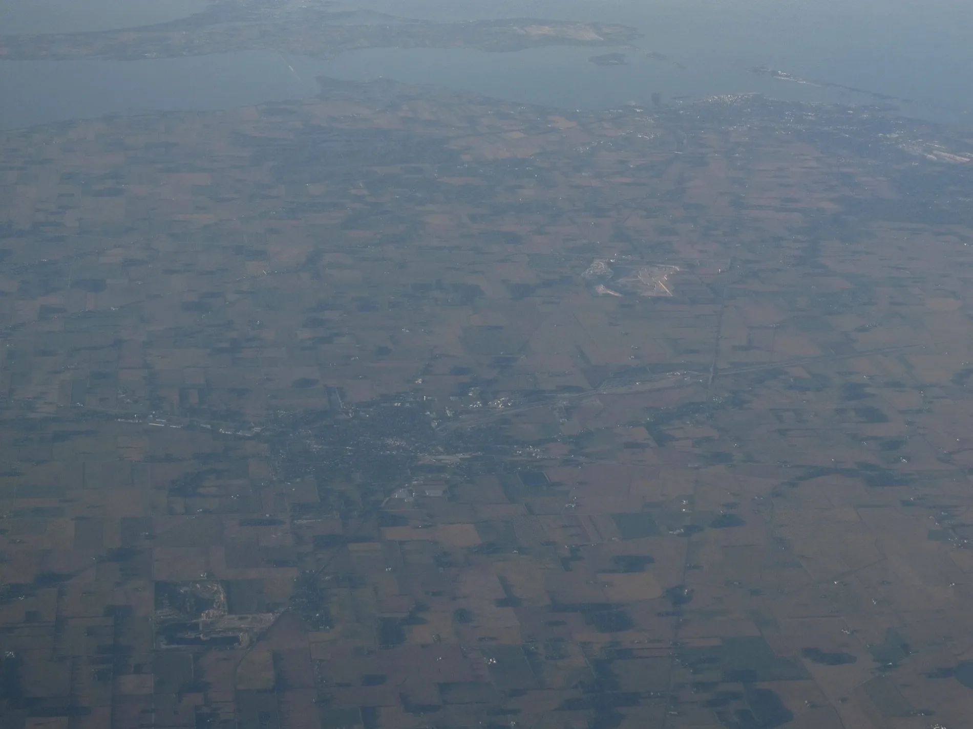
Streets in Bellevue, Ohio
Streets
North Coast Inland Trail
Pike School, Circle K, Advance Auto Parts, Marco's Pizza, Cost Cutters, Darling dog grooming, Balooka's party town, Mount Pleasant, Saint Pauls Episcopal Church, First Church of Christ Scientist
East Main StreetThe clothing hangar, Benchwarmers, level up gaming, frame it and more, noah's bark, HMS speedway and hobbies, firelands federal credit union
West Main Streetbone boys barbecue, Seybert Church, Wendy's, Pizza Hut, O'Reilly Auto Parts
Kilbourne StreetBellevue Assembly of God Church, Saint Pauls United Church of Christ, first impressions
Yorkshire PlaceEast of Chicago Pizza, Adult Advantages
North Sandusky Streetcopper top, designics print shop
Harrison StreetFirst Congregational Church
Southwest StreetLinen and birch gift shop
Mc Kim StreetMcKim School
East Center Streethenry motorcar motorsports
Northwest StreetBellevue, First National Bank
Meadowlark Drive
Hartland Drive
Portland Road
Steeplechase Avenue
Auxiliary Drive
Heter Street
Commerce Park Drive
Gunther Street
Winfield Court
William Avenue
Willow Court
Seneca Drive
Hamilton Street
Albina Drive
Woodlawn Avenue
Wood Street
Northgate Drive
Crystal Court
Decker Street
Kern Street
Sheridan Street
West Aigler Boulevard
Lincoln Street
Macdonald Drive
Honeysuckle Drive
Moore Avenue
Lawrence Street
Sampson Street
Goldenrod Drive
Shumaker Drive
Lynwood Lane
Friedley Avenue
Roger Avenue
Slaughterhouse Road
Charlotte Avenue
Kinney Street
Douglas Drive
Yorkshire Glen
Kensington Drive
Redwood Drive
Oakland AvenueShops
Buildings
Car washes
Commercial buildings
Fast food restaurants
Golf courses
Ice cream shops
Libraries
Parks
Pharmacies
Places of worship
Restaurants
Streams
Supermarkets
Town halls
Variety stores
Other
Public transit map Bellevue Legend
| Railway | |
| Bus | |
| Streetcar |
Bicycle map Bellevue Legend
| Bike path | |
| Bike lane on roadway | |
| Cycling allowed on bus lane | |
| Bicycle street | |
| Open to cyclists | |
| Open to cyclists, good path | |
| Cycling prohibited | |
| Cobblestone |
| Long-distance bike route | (depending on scale) | |
| Long-distance bike route |
Pedestrian map Bellevue Legend
| Path |
| Long-distance hiking trail | (depending on scale) | |
| Long-distance hiking trail | ||
| Pedestrians prohibited |