
Ironton, Ohio
Ironton is located in Upper Township. The region is located on the bodies of water Ohio River and Storms Creek. About 10,571 people live here (as of 2020). Between 2010 and 2020, the population declined from 11,129 to 10,571. The region is at 168 meters above sea level. The area covers about 11.5 square kilometers. There are about 318 streets in Ironton. The region was founded in 1849. The ZIP codes are 45638. The dialing code is 740. Ironton is city in Ohio, United States. Among other things, Ironton has restaurants, cafés, supermarkets, clothing Stores, schools, banks and pharmacies. More information at www.ironton-ohio.com.
Ironton – Facts
| Population | 10571 |
|---|---|
| Area | 11.5 km² |
| Year built | 1849 |
| Elevation | 168 m |
| Located in | Lawrence County |
| Postal code | 45638 |
| Country | United States |
| Body of water | Ohio River, Storms Creek |
| Official name | Ironton |
| Described by | Brockhaus and Efron Encyclopedic Dictionary, Encyclopædia Britannica 11th edition, The New Student's Reference Work |
| Website | http://www.ironton-ohio.com/ |
Data source: Wikidata (CC0)
Photos from Ironton
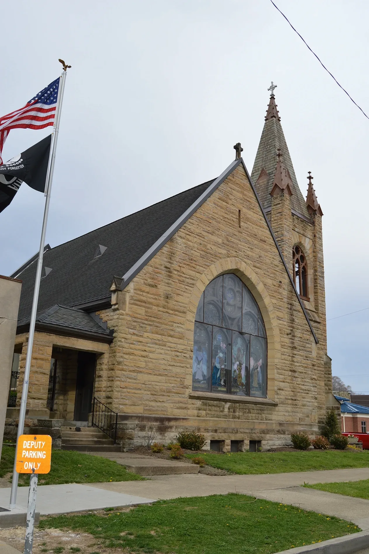
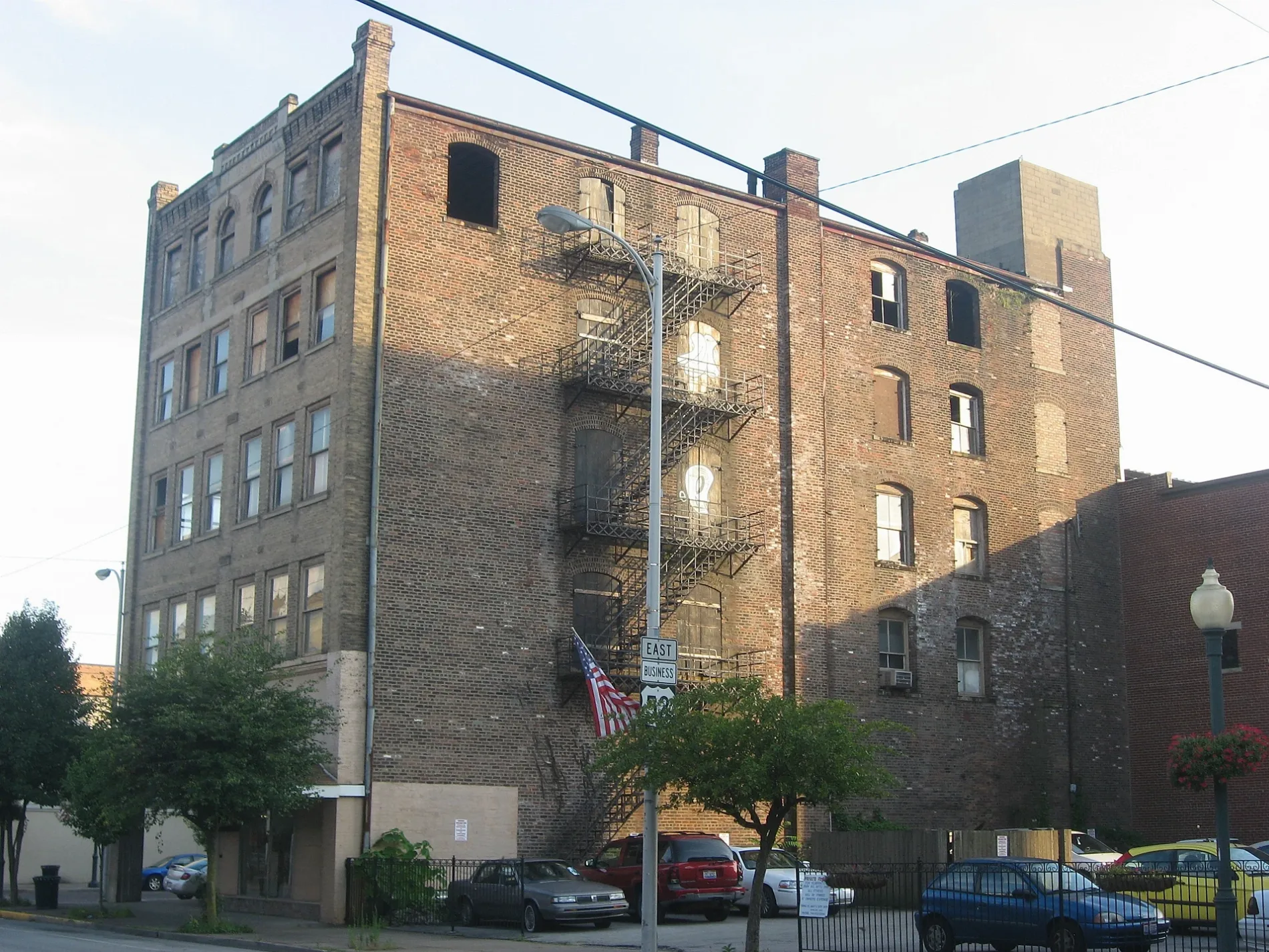
Streets in Ironton, Ohio
Streets
Park Avenue
Melini Cucina, Christ Episcopal Church, Marathon, Speedway, Giovanni's Pizza, Park Avenue Car Wash, Clark's Pump-N-Shop, Toro Loco
South 3rd StreetUS Bank, Dick's Music Shop & Downtown Emporium FedEx, A Touch of Grace, Ro-Na Cultural Center and Theater, Ironton Puretap
South 4th StreetMount Olive Baptist Church, Little Caesars, Ironton Fire Department, Loran Street Church
South 5th StreetLawrence County Bar and Law Library, Saint Joseph Catholic Church, Sharon Baptist Church, Immanuel Church
Vernon StreetFirst Baptist Church of Ironton, Gateway Baptist Church, Big Boy
Liberty AvenueSpeedway, The Shake Shop
Center StreetIronton, Saint Lawrence O'Toole Catholic Church, Wendy's, Family Dollar
South 10th StreetChurch of Christ, First Tabernacle Church
Quincy StreetCalvary Baptist Church, Greater Emmanuel Apostolic Faith Tabernacle
South 2nd StreetPatties & Pints, Liberty Tattoo Parlor
Adams StreetQuinn Chapel, Sherwin-Williams
South 6th StreetApostolic Gospel Church, Rankin Historic District, Saint Paul Lutheran Church
North 2nd StreetDollar Tree
North 3rd AvenueEllison Street Church of the Nazarene
Monroe StreetLong John Silver's
South 9th StreetCommunity of Christ
Bobby Bare BoulevardThe Depot
Pleasant StreetNazarene Church
Dingus CreekSouthern Campus Library
Ellison AvenueCentral Christian Church
Wyanoke StreetSydenstricker Church
Jefferson StreetCVS Pharmacy
Lawrence StreetLawrence Street School
Pine StreetPine Street United Methodist Church
North 5th StreetFirst United Methodist Church, Fifth and Lawrence Streets Residential Historic District
Jones StreetWhitwell Elementary School
Elm StreetElm Street Church of the Nazarene
Washington StreetBriggs-Lawrence County Public Library
South 8th StreetTriedstone Church
South 7th StreetPizza Hut
Railroad StreetBuckeye Sudz Car Wash
North 3rd StreetWest Ironton Elementary School
State Route 93Storms Creek Church
Nash Street
Commerce Drive
Mill Street
McPherson Avenue
Scherer Road
North 6th Street
North 8th Street
Market Street
Oak Street
Adams Lane
Murdock Street
North 9th Street
Columbia Street
Heplar Street
North 5th Avenue
Buckhorn Street
Neal Avenue
Carl Drive
Union Street
Vesuvius Street
Pearl Street
Campbell Avenue
Navajo Trail
Clark Street
Maple Avenue
Vine Street
Thomas Street
Patricia Drive
North 7th Street
Means Street
Howard Street
Williams Street
Mimosa Street
Clinton StreetFast food restaurants
Industrial buildings
Museums
Places of worship
Police stations
Railways
Sports fields
University buildings
Public transit map Ironton Legend
| Railway | |
| Bus | |
| Streetcar |
Bicycle map Ironton Legend
| Bike path | |
| Bike lane on roadway | |
| Cycling allowed on bus lane | |
| Bicycle street | |
| Open to cyclists | |
| Open to cyclists, good path | |
| Cycling prohibited | |
| Cobblestone |
| Long-distance bike route | (depending on scale) | |
| Long-distance bike route |
Pedestrian map Ironton Legend
| Path |
| Long-distance hiking trail | (depending on scale) | |
| Long-distance hiking trail | ||
| Pedestrians prohibited |