
Streator Place in Lorain, Ohio
Streator Place in Lorain is an asphalted residential street. It runs as a one-way street in a southeast-northwest direction starting from West 11th Street and ends at West 10th Street. Nearby there is a museum.
- Road Type
- residential street
- Route
- southeast-northwest
Image
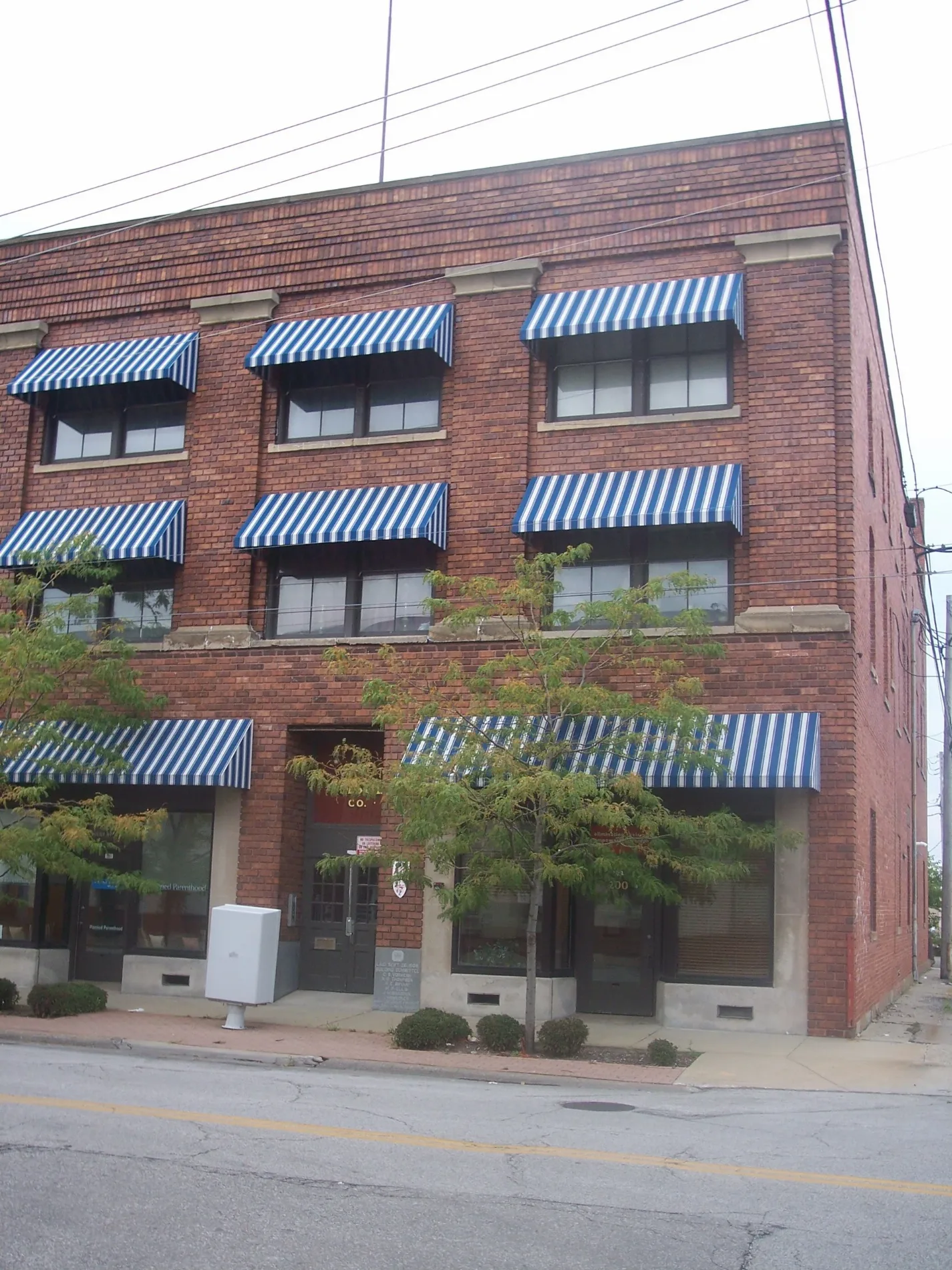
Museums
Streets nearby
Reid AvenueSaint Mary Roman Catholic Church, Benny's City Service, Faith United Methodist Church
400 ft
Lexington Avenue0.1 mi
West 9th StreetNew Bethel Primitive Baptist Church, The Green Store, Planned Parenthood
0.2 mi
BroadwayCash for Gold, Jevon Terance, Nielsen Jewelers, Lorain Palace Theatre, Gergely's Maintenance King, Fresco Bistro, United Way, In My Hands Esthetics, Revival CLE, The Glass House, Lorain County Community Action Agency, Scrofano's Classic Barbershop, Marzavas & Sons Jewelers, Brass & Bronze Foundry Bar, Broadway Mary's, Slutzker's Quickprint Center, FOP Lodge #3, Downtown Lorain, Magdalen's, Unruly Salon & Spa, Old Towne Charleston Social Club, Kool Kat 98.9, Lorain County United Way, Lorenzo's Pizza, UnRuly Salon & Spa, Lorain City Hall, Lorain Sign, The 530 Shop, Northwest, Domino's, Broadway Teriyaki, Over The Moon Gifts, DJ's Vegetarian & Vegan Market, Ed's Complete Auto, Fligner's Market, Christ Missionary Pentacostal Church, Quality Security Door, Lake Screen Printing, El Keffon Grand Buffet, Great Lakes Smoked Meats
0.2 mi
Old BroadwayLorain Monument Works, Hair Love Beauty
0.2 mi
West 13th StreetSecond Missionary Baptist Church
0.2 mi
East 9th Street0.2 mi
Lovett Place0.2 mi
West 7th Court0.2 mi
East 8th StreetMarta's & More Bakery Store
0.3 mi
West 14th Street0.3 mi
West 10th StreetLCAA Bike Shop
0.3 mi
West 7th StreetNew Beginnings Academy, Wesley United Methodist Church, Saint John United Church of Christ, Best Tool & Equipment Repair, Episcopal Church of the Redeemer, In The Kutt Hair Studio, Iglesia La Familia, Casa de Dios
0.3 mi
Washington AvenuePop's Corner, God's Kingdom Worship Center
0.3 mi
Black River Parkway0.3 mi
Long AvenueLa Casa Del Mofongo
0.3 mi
East 14th Street0.3 mi
West 15th StreetNativity Blessed Virgin Mary Roman Catholic Church
0.3 mi
Black River LaneLorain Rock Town Music Academy
0.3 mi
14th Street0.3 mi
West 6th StreetBrastina's Nutrizen, Elks Lorain 1301, Northwest Bank, Greater Victory Christian Ministries, First Lutheran Church
0.3 mi
West 11th StreetA Manz Touch
0.3 mi
West 17th StreetThe Board Room
0.4 mi
West 16th StreetTire Depot
0.4 mi
Shipyard Way0.4 mi
Oakdale Avenue0.5 mi
Garden Avenue0.5 mi
West 18th StreetSpanish Pentecostal Church
0.5 mi
Braman Court0.5 mi
Livingston Avenue0.6 mi
East 18th Street0.6 mi
East 19th Street0.7 mi
West 20th StreetOne Wireless Super Store
0.7 mi
Amenities nearby
Hopkins-Locke Center300 ft
Abandoned railways nearby
CL&W Subdivision0.3 mi
Auto repair shops nearby
Tuffy0.3 mi
Banks nearby
Fifth Third Bank0.4 mi
Beauty salons nearby
Red Carpet Haircutting Salon0.2 mi
Buildings nearby
Nativity Manor0.3 mi
McArthur & Sons0.5 mi
Parks nearby
Streator Park550 ft
Black River Landing0.3 mi
Pawlak Park0.4 mi
Playgrounds nearby
Hawthorne Playground0.6 mi
Pubs nearby
Scorcher's0.2 mi
Railways nearby
NS Cleveland District0.2 mi
Restaurants nearby
Gyros & More0.4 mi
Theaters nearby
Lorain Palace Theatre0.4 mi
Variety stores nearby
Family Dollar0.6 mi
 Public transit map Lorain Legend
| Railway | |
| Bus | |
| Streetcar |
 Bicycle map Lorain Legend
| Bike path | |
| Bike lane on roadway | |
| Cycling allowed on bus lane | |
| Bicycle street | |
| Open to cyclists | |
| Open to cyclists, good path | |
| Cycling prohibited | |
| Cobblestone |
| Long-distance bike route | (depending on scale) | |
| Long-distance bike route |
 Pedestrian map Lorain Legend
| Path |
| Long-distance hiking trail | (depending on scale) | |
| Long-distance hiking trail | ||
| Pedestrians prohibited |