
Walnut Street in Toledo, Ohio
Walnut Street in Toledo is a residential street. It runs in a southeast-northwest direction starting from North Summit Street and ends at Water Street. Walnut Street also exists in Warren County, Clermont County, Clinton County, Greene County and Montgomery County.
- Road Type
- residential street
- Route
- southeast-northwest
Image
Bus stations
Fast food restaurants
Artworks
Fire stations
Pubs
Restaurants
Parking lots
Bus stops
Schools
Movie theaters
Banks
Streets nearby
Sycamore StreetThe Maritime Academy of Toledo
300 ft
Cherry StreetBP, Harmony Baptist Church
500 ft
MLK Bridge Sidepath0.1 mi
Ostrich Lane0.1 mi
Pine Street0.1 mi
CitiWalk - Red Concourse0.2 mi
Summit SidepathCity Candy
0.2 mi
Main StreetTalbot, Toledo's Main Street Bar & Grill
0.2 mi
North Summit StreetSummit & 123rd NW, Summit & 119th SW, Summit & 119th SE, Summit & 116th NW, Northriver, Summit & 116th SE, Summit & 109th NW, Summit & 109th SE, Summit Detwiler W, Summit & Manhattan NW, Summit & 107th SE, Summit & 105th SW, Summit & 103rd SE, Summit & 101st SW, Point Place Hometown Hardware, Summit Detwiler, Summit Toledo Yacht Club W, Summit & Manhattan SE, Point Place, Starbucks, City Egg
0.2 mi
Orange Street0.2 mi
North Huron StreetHuron & Lagrange NW, Olde Cock n' Bull Tavern, Ye Olde Cock n Bull, Magic Wok
0.2 mi
Cedar Street0.2 mi
CitiWalk - Light Blue Concourse0.2 mi
Water StreetStation #3 - second location
0.3 mi
North Erie StreetErie & Lagrange SW, Downtown, Toledo
0.3 mi
Locust Street0.3 mi
Beech Street0.3 mi
Olive Street0.3 mi
Crane Lane0.3 mi
Elm Street0.4 mi
Riverside Trail0.4 mi
North Summit SidepathWestern-most point on Lake Erie, Summit Toledo Yacht Club E
0.4 mi
North Superior StreetGeorgio's Cafe International, Coney Island Hot Dog, Plate One, Jed's, Exclusive Bar & Grill
0.4 mi
Lagrange StreetLagrange & Champlain SE, Lagrange & Erie NW, Lagrange & Erie NE, Lagrange & Mabel SW, Lagrange & Mabel SE, Lagrange & Champlain NW, Vistula Historic District, Lagrange & Superior NW, Lagrange & Superior SE, Lagrange & S. Expressway SW, Lagrange & Majestic SE, Manhattan & Lagrange SW (Flag Down), Lagrange & Lake NW, Lagrange & Pearl SE, Lagrange & Oakland NW, Lagrange & Oakland SE, Lagrange & Streicher NW, Lagrange & Streicher SE, Lagrange & Central NW, Lagrange & Mettler NW, Lagrange & Everett SE, Lagrange & Moss NE, Lagrange & Austin NW, Lagrange & Palmer NW, Lagrange & Delaware SW, Lagrange & Delaware SE, Lagrange & Page NW, Lagrange & Page SE, Lagrange & Sherman NW, Lagrange & Sherman SE, Lagrange & Bancroft NW, Lagrange & George SW
0.4 mi
Swan Lane0.4 mi
Chestnut Street0.4 mi
Apartment buildings nearby
Madonna Homes0.2 mi
Covenant Apartments0.3 mi
Buildings nearby
One Maritime Plaza350 ft
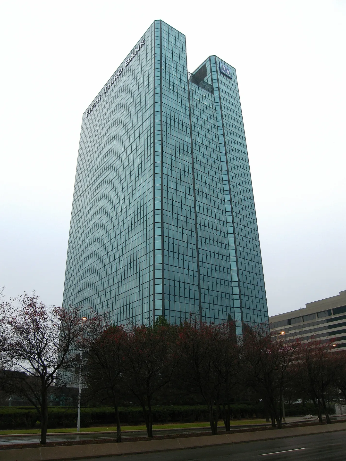
Fifth-Third Bank Building0.1 mi
United Way0.2 mi
Commercial buildings nearby
Toledo Blade Building0.3 mi
Fire stations nearby
Toledo Fire Department Station #10.3 mi
Hotels nearby
Renaissance Toledo Downtown Hotel0.2 mi
Parks nearby
Chub deWolfe Park0.3 mi
Places of worship nearby
Holy Trinity Greek Orthodox Cathedral0.1 mi
Saint Francis de Sales Chapel0.2 mi
Salvation Army0.3 mi
Saint Joseph's Catholic Church0.3 mi
Salem Lutheran Church0.4 mi
Primera Iglesia Bautista De Toledo Church0.4 mi
Public buildings nearby
Vistula Manor0.3 mi
Lucas County Health Department0.4 mi
Residential areas nearby
Cherrywood Apartments0.3 mi
Restaurants nearby
Toledo Pickle0.3 mi
Summit Diner0.3 mi
Rivers nearby
Maumee River0.2 mi
Studios nearby
WTOL-TV Studios250 ft
Other nearby
SeaGate Helistop0.2 mi
 Public transit map Toledo Legend
| Railway | |
| Bus | |
| Streetcar |
 Bicycle map Toledo Legend
| Bike path | |
| Bike lane on roadway | |
| Cycling allowed on bus lane | |
| Bicycle street | |
| Open to cyclists | |
| Open to cyclists, good path | |
| Cycling prohibited | |
| Cobblestone |
| Long-distance bike route | (depending on scale) | |
| Long-distance bike route |
 Pedestrian map Toledo Legend
| Path |
| Long-distance hiking trail | (depending on scale) | |
| Long-distance hiking trail | ||
| Pedestrians prohibited |